J a n u a r y 2 0 1 3
L i s s y c l e a r i g
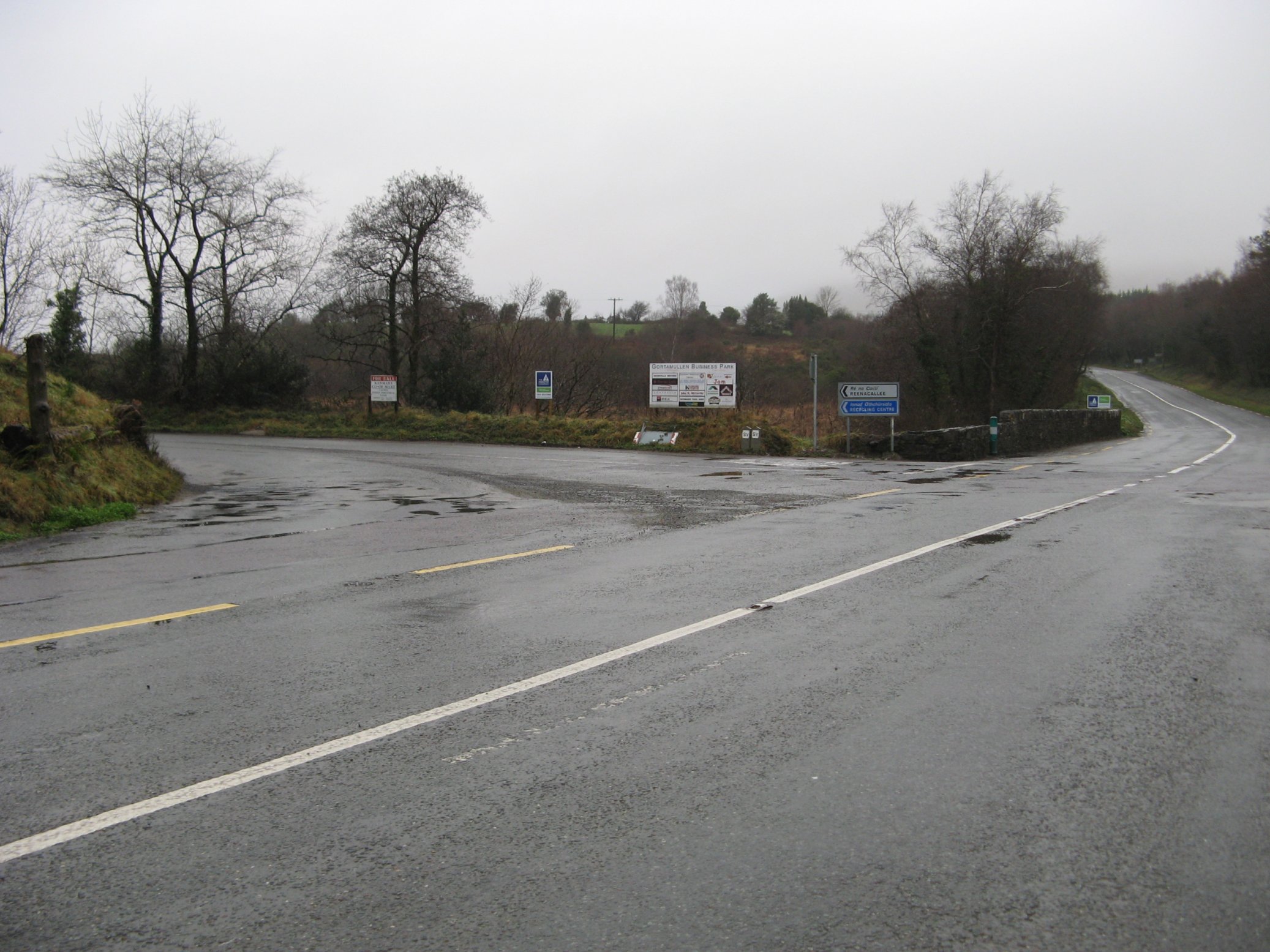
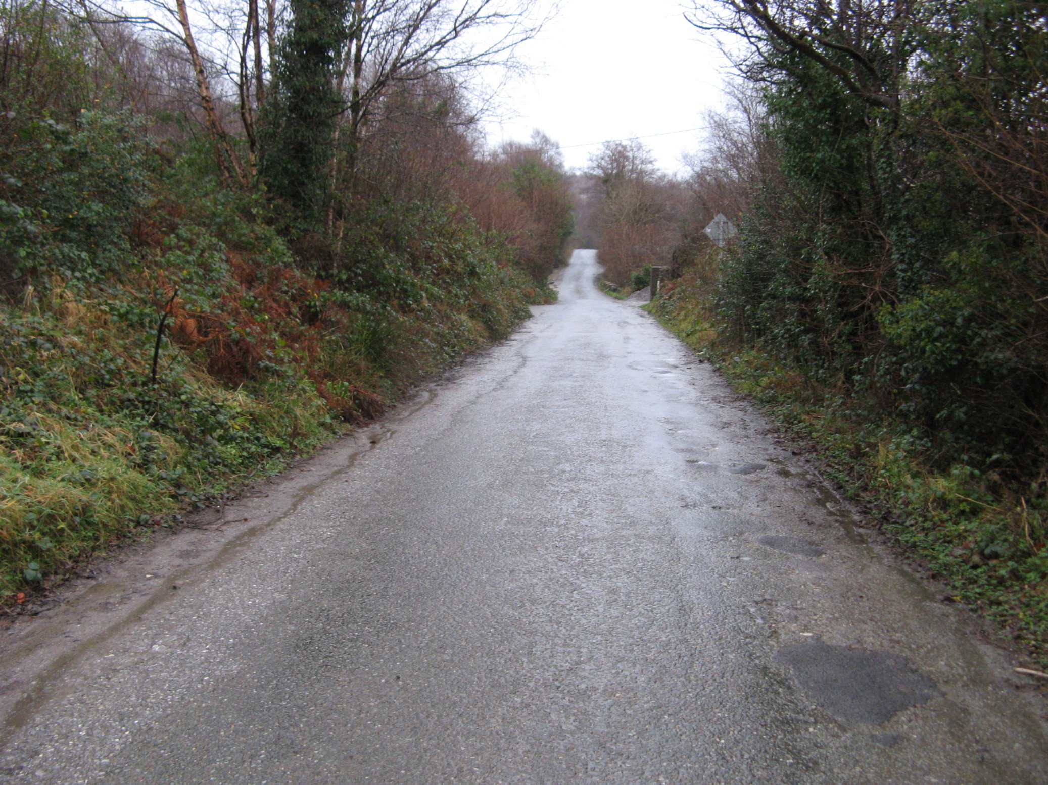
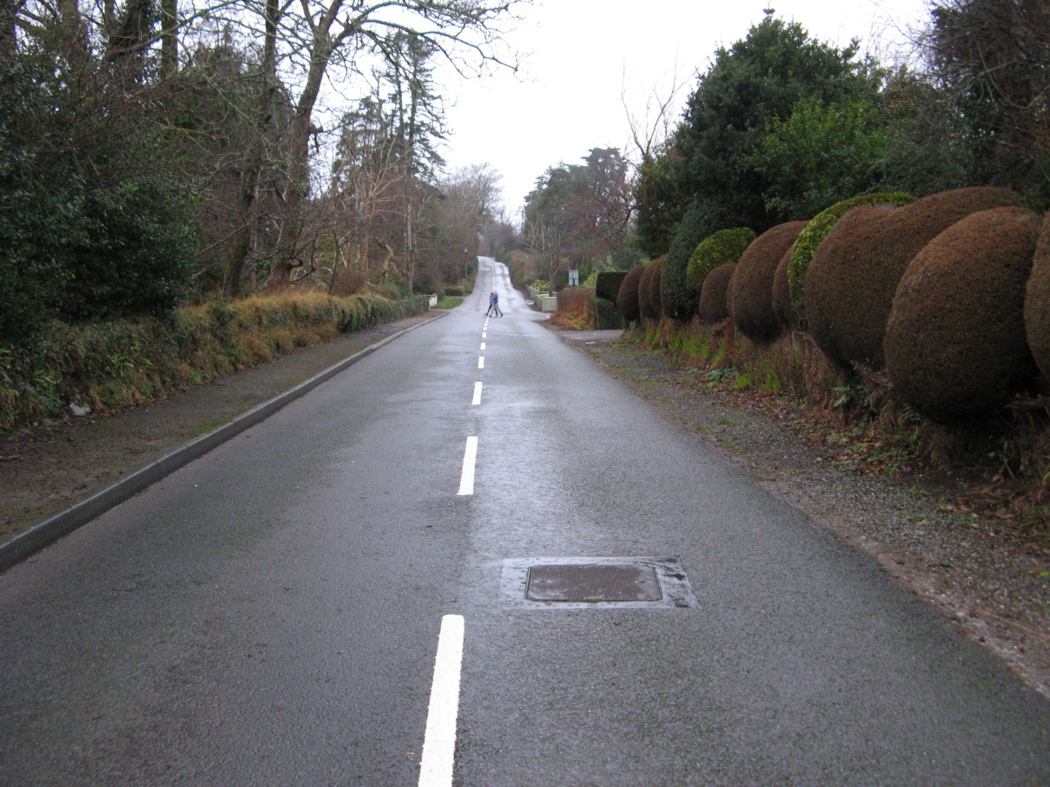
Thursday 3 January 2013
Photos of a little walk to the hamlet of Lissyclearig.
If weather conditions don't permit serious walks you can always do one of the popular little walks around Kenmare.
The one to Lissyclearig is a popular walk amongst the local people.
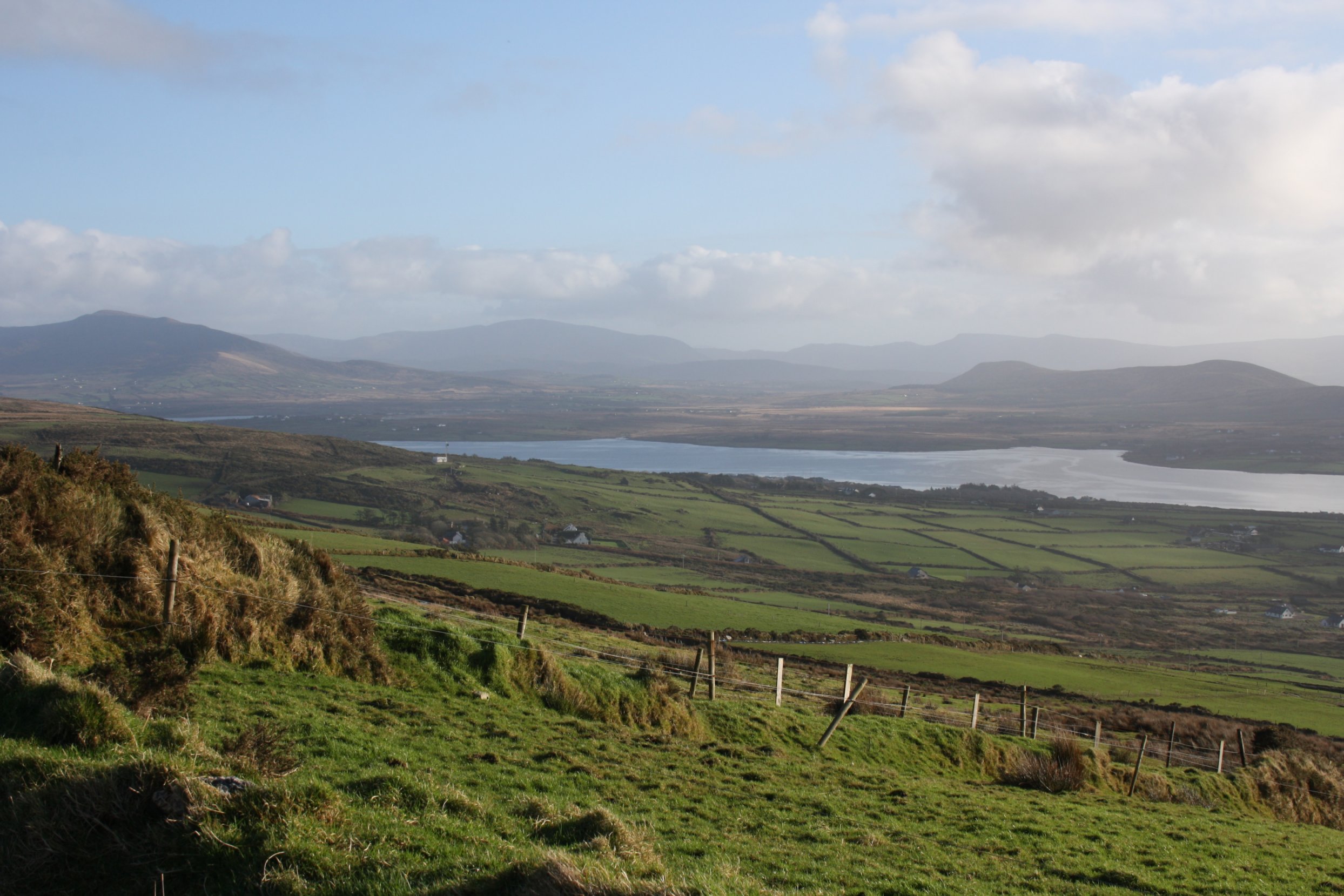
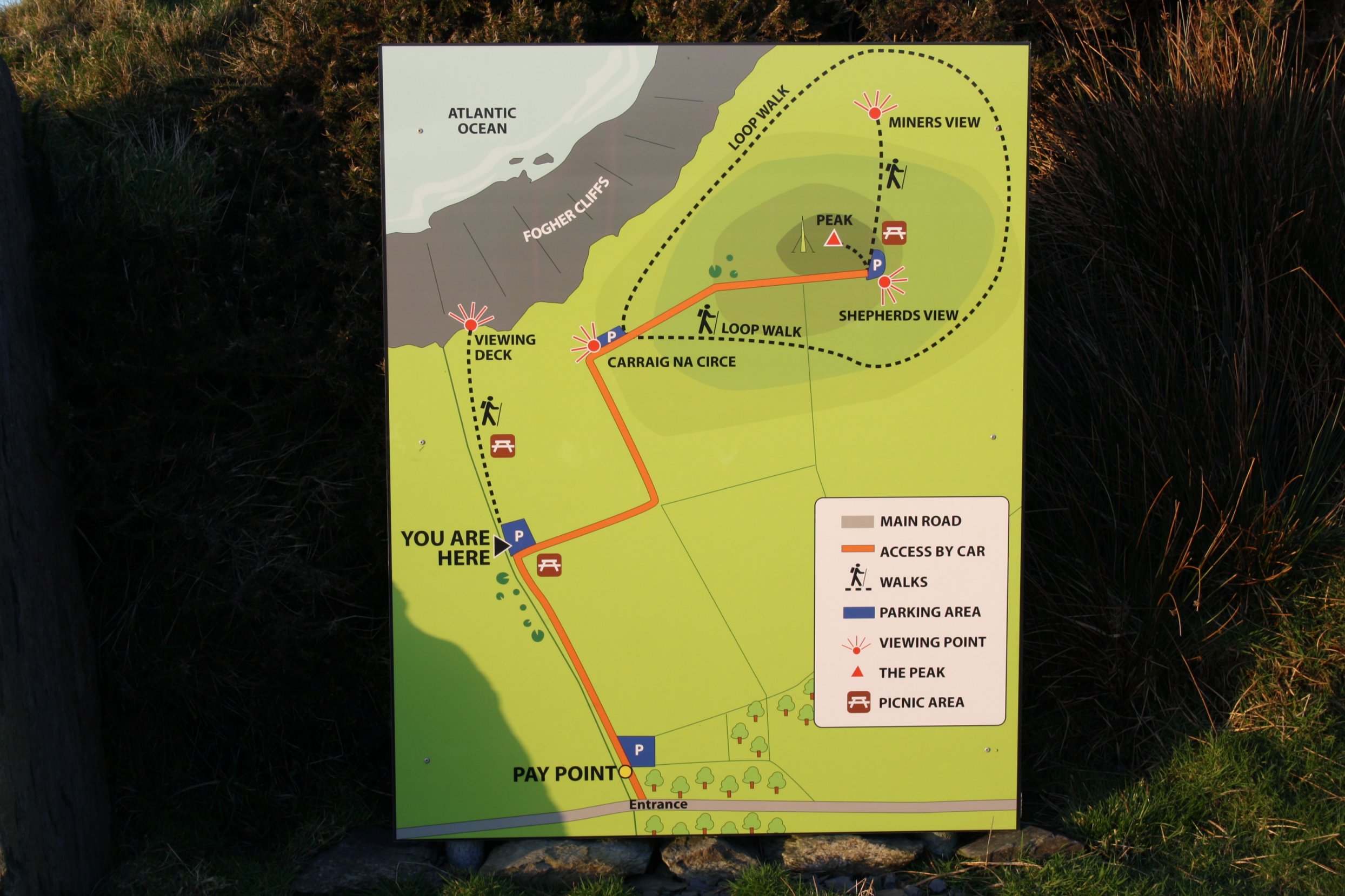
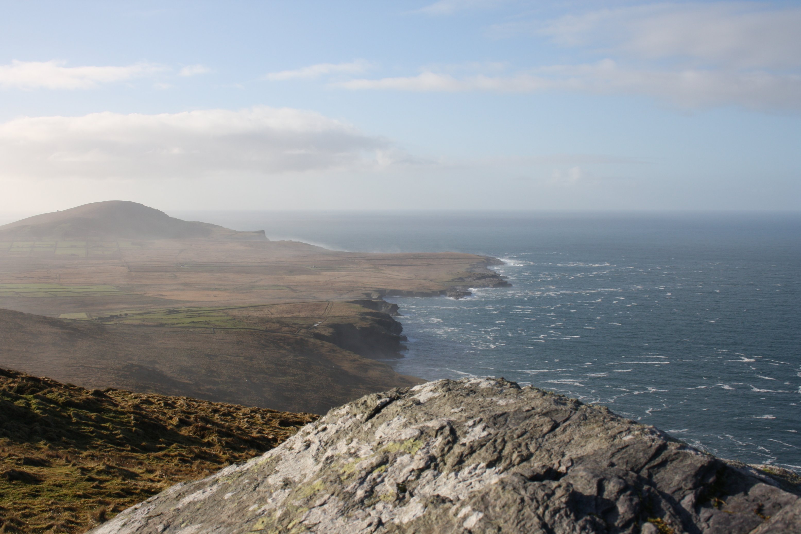
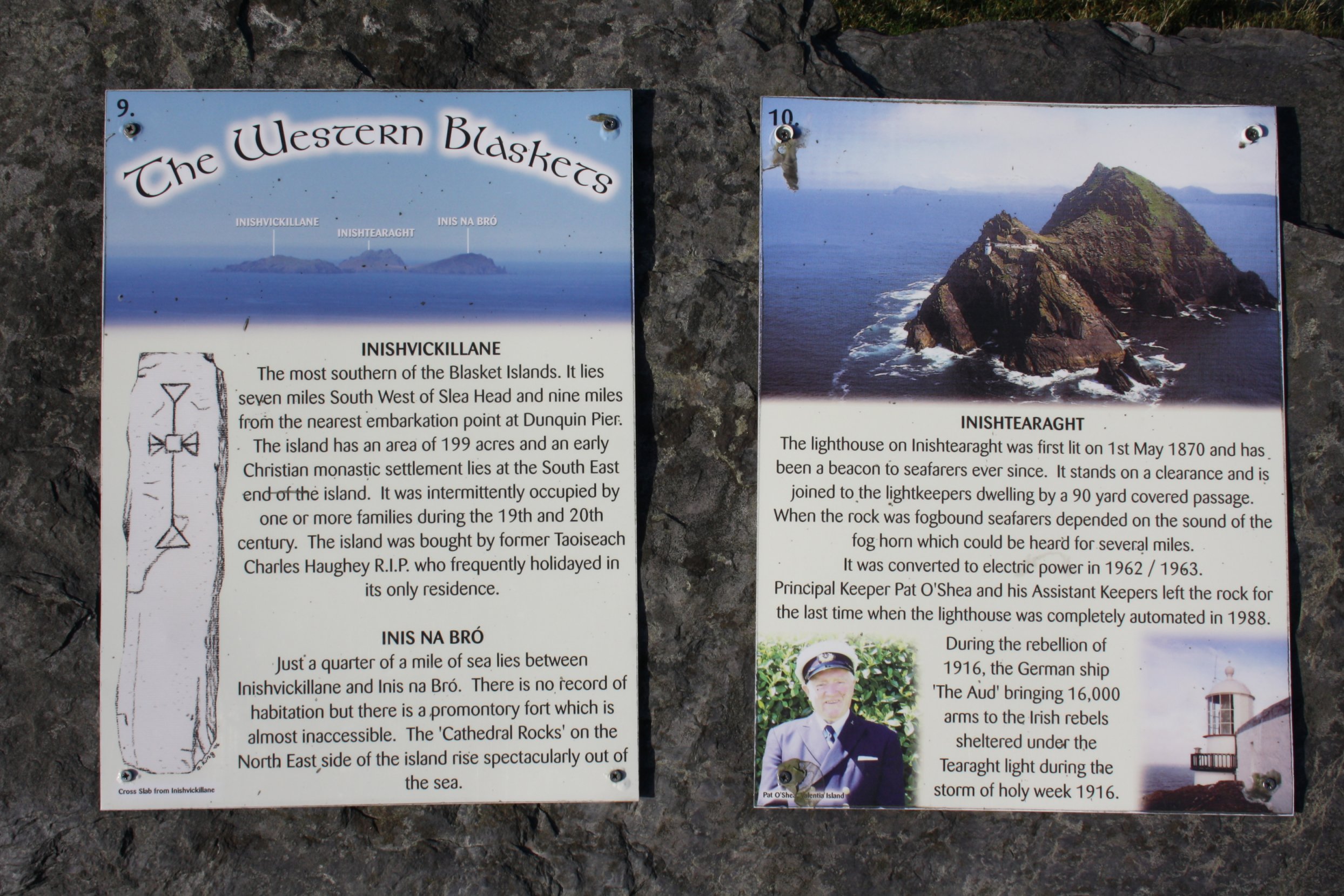
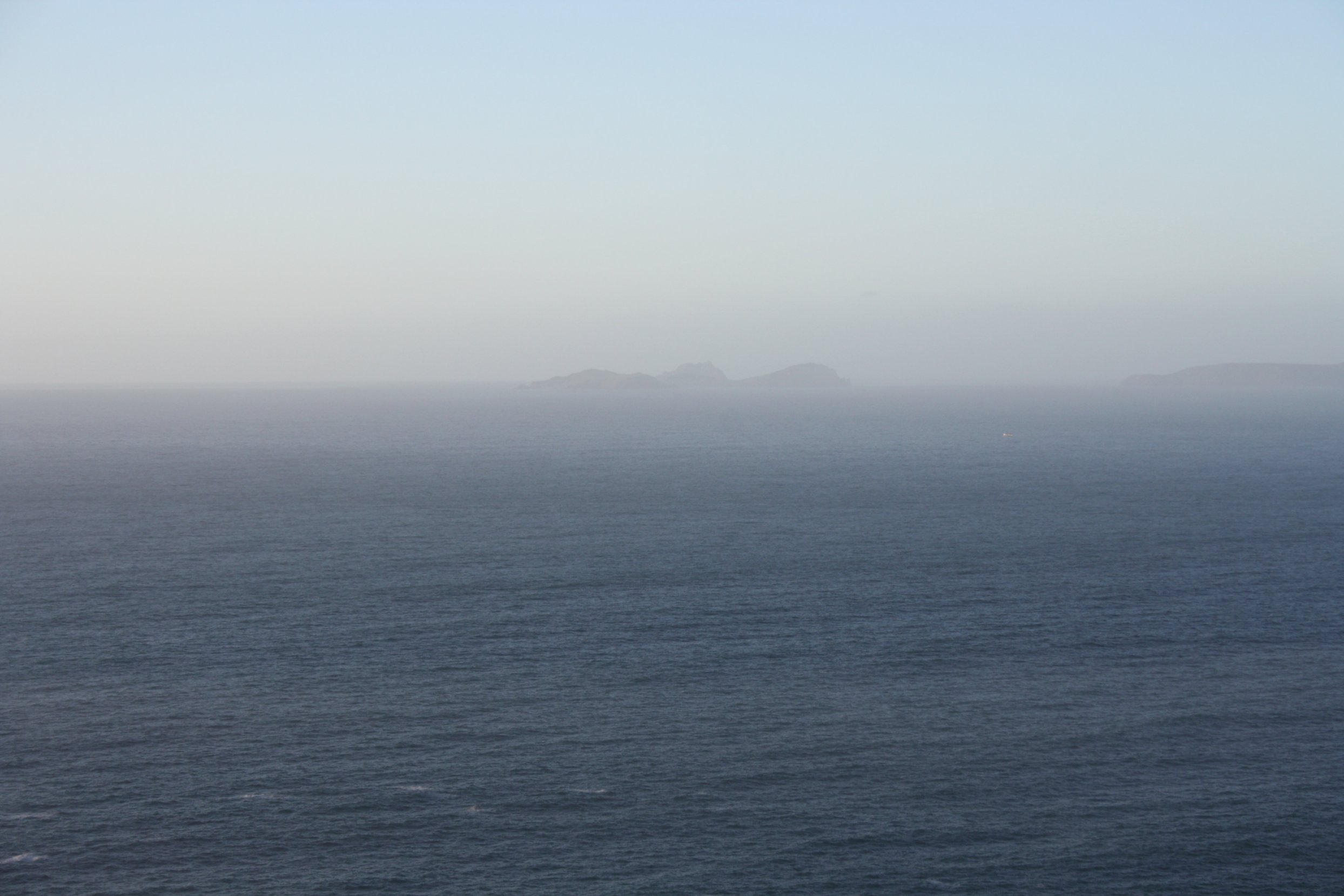
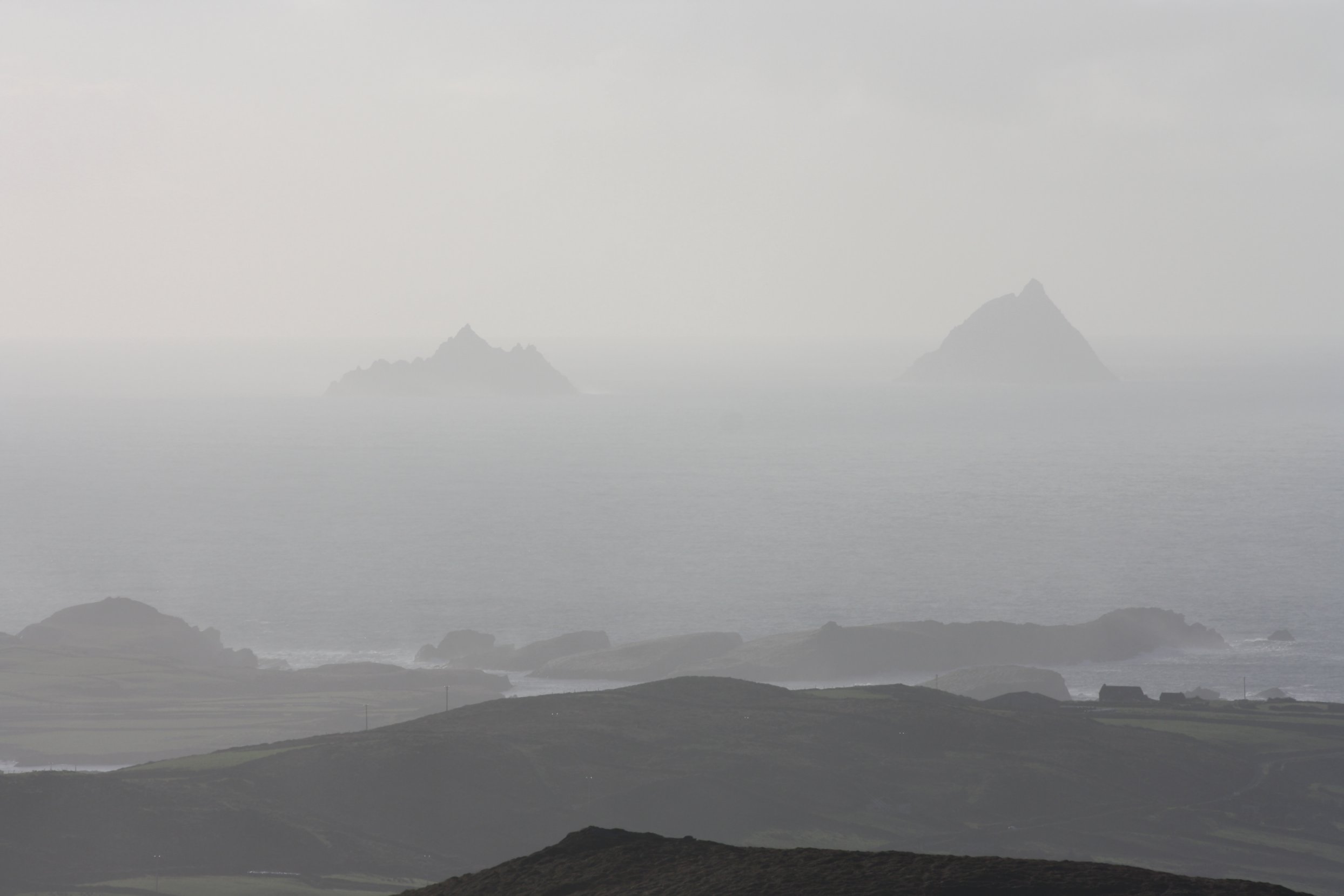
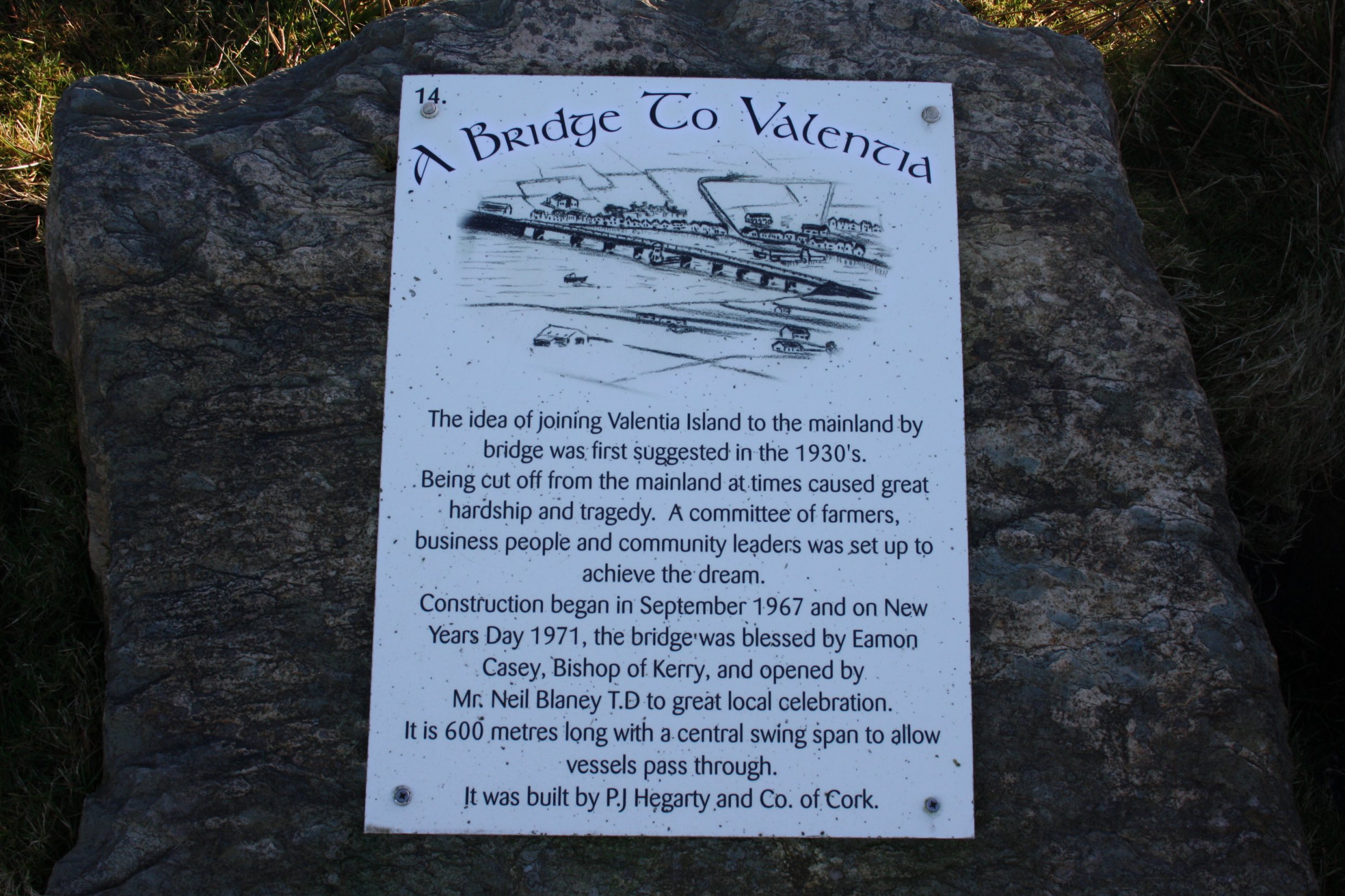
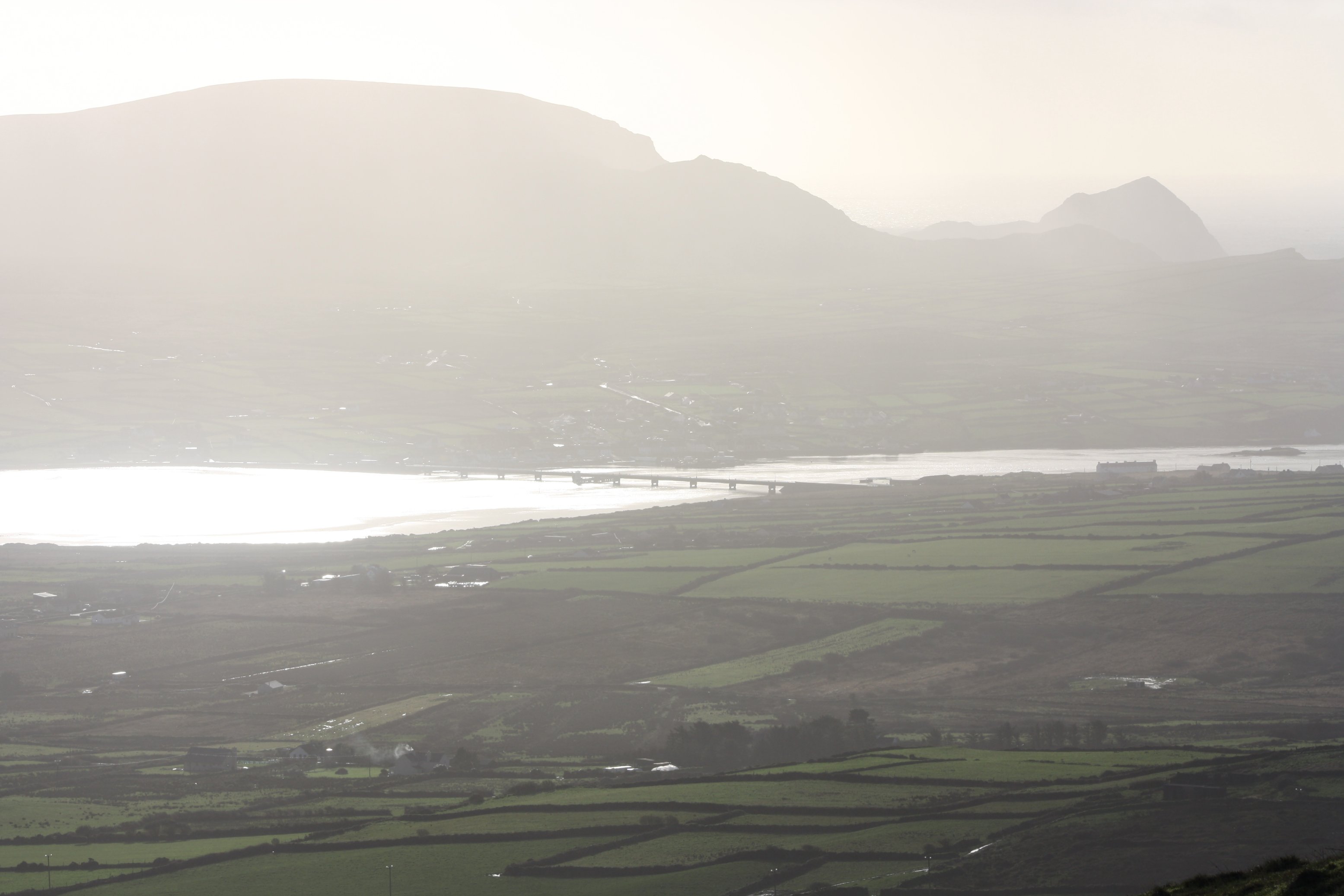
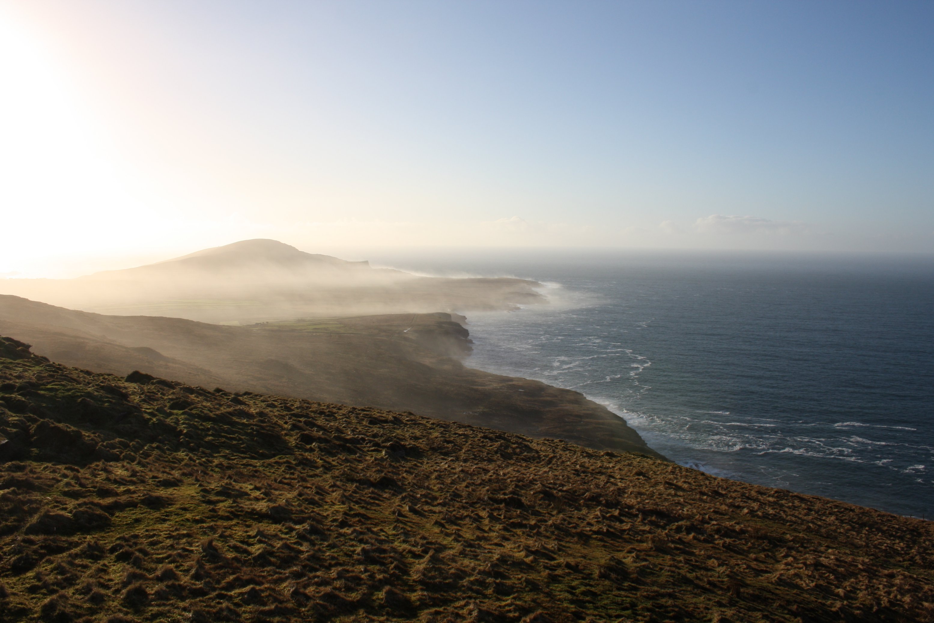
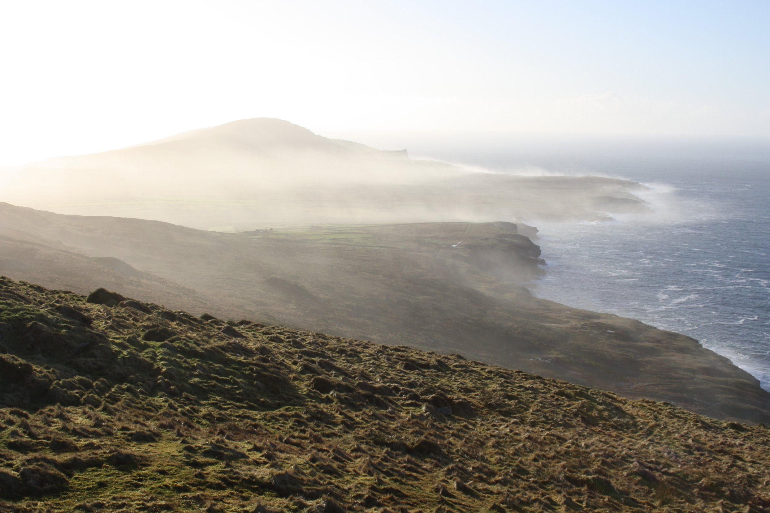
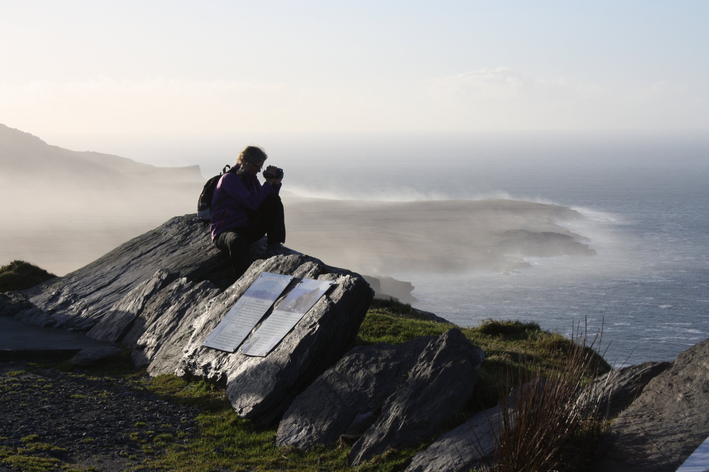
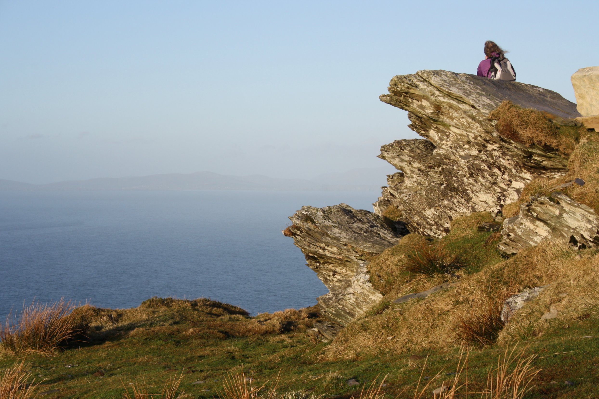
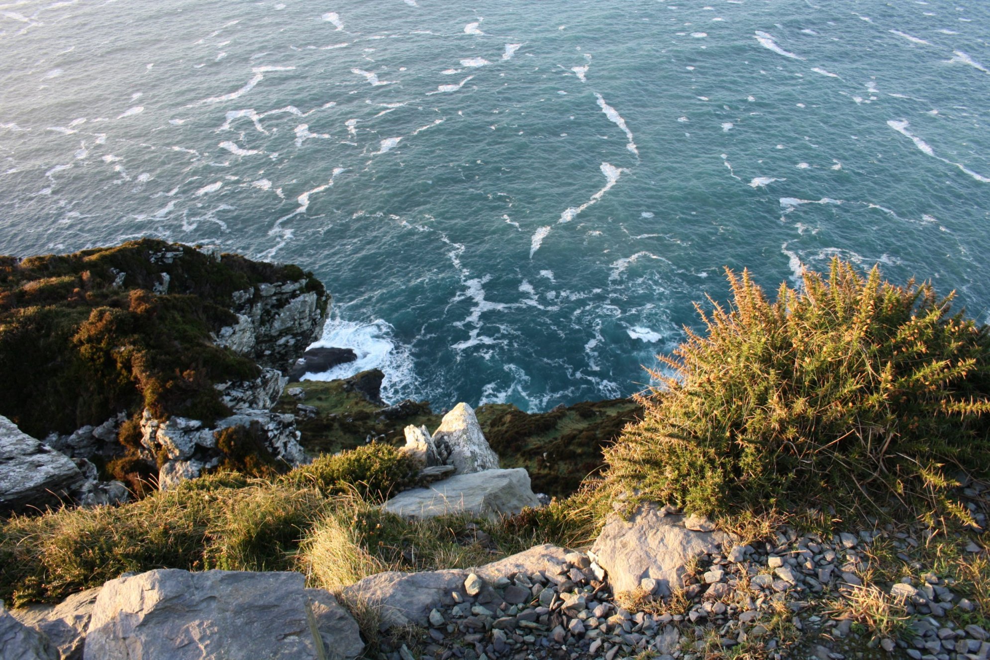
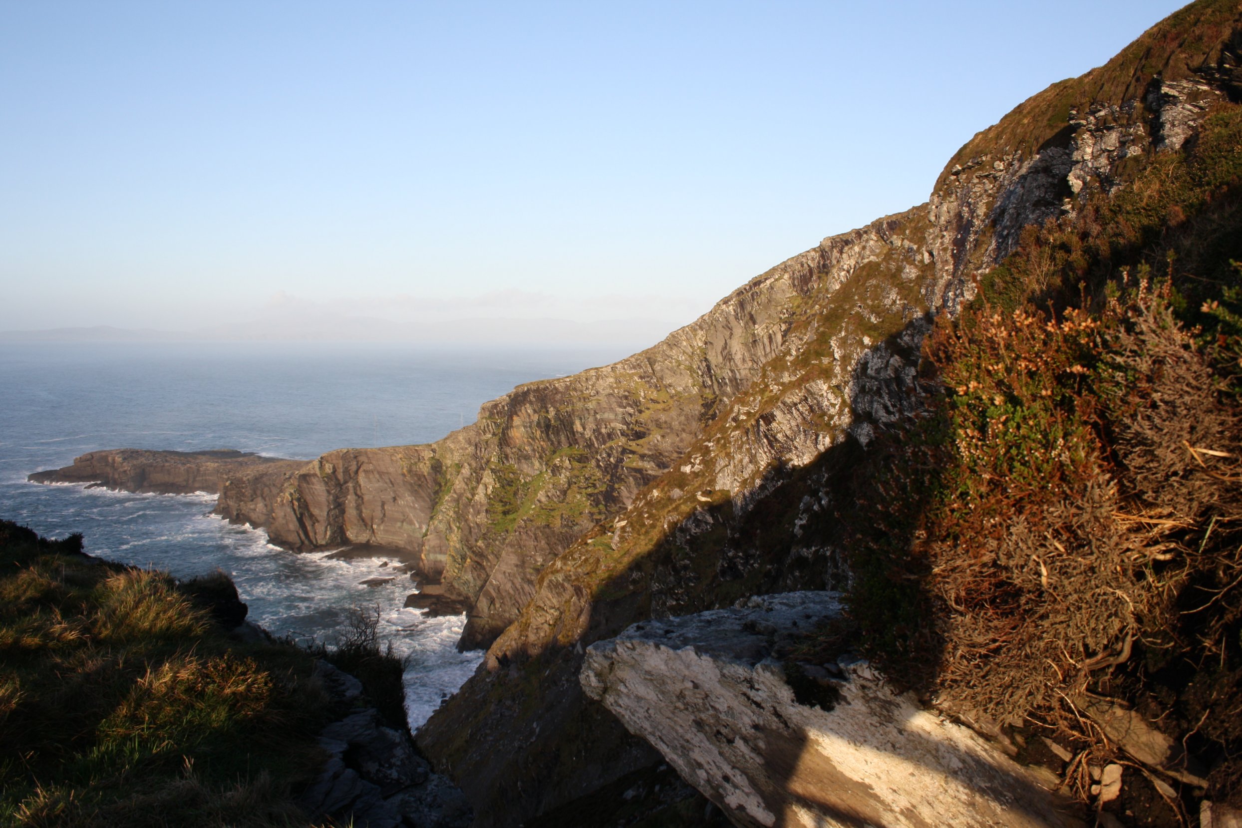
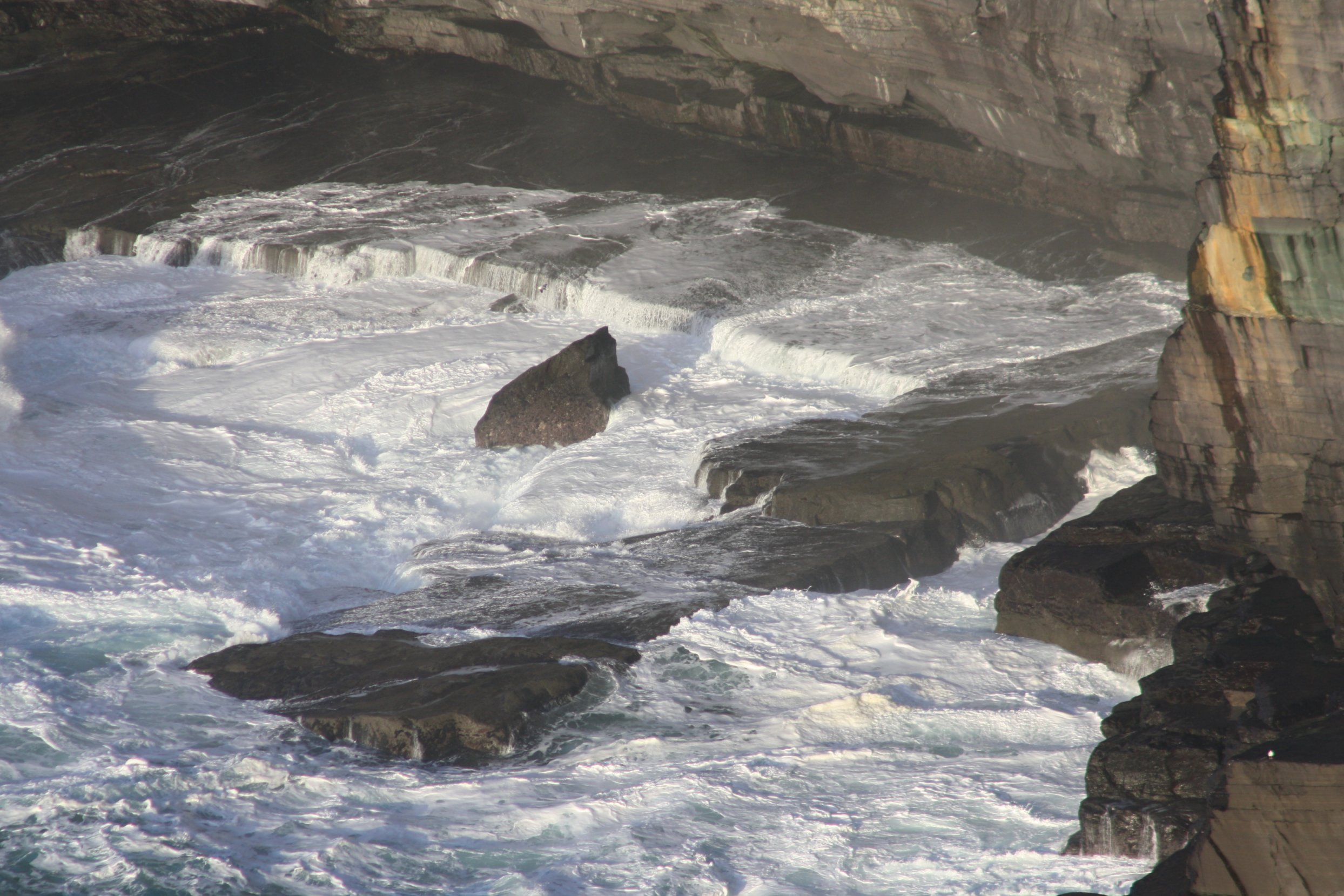
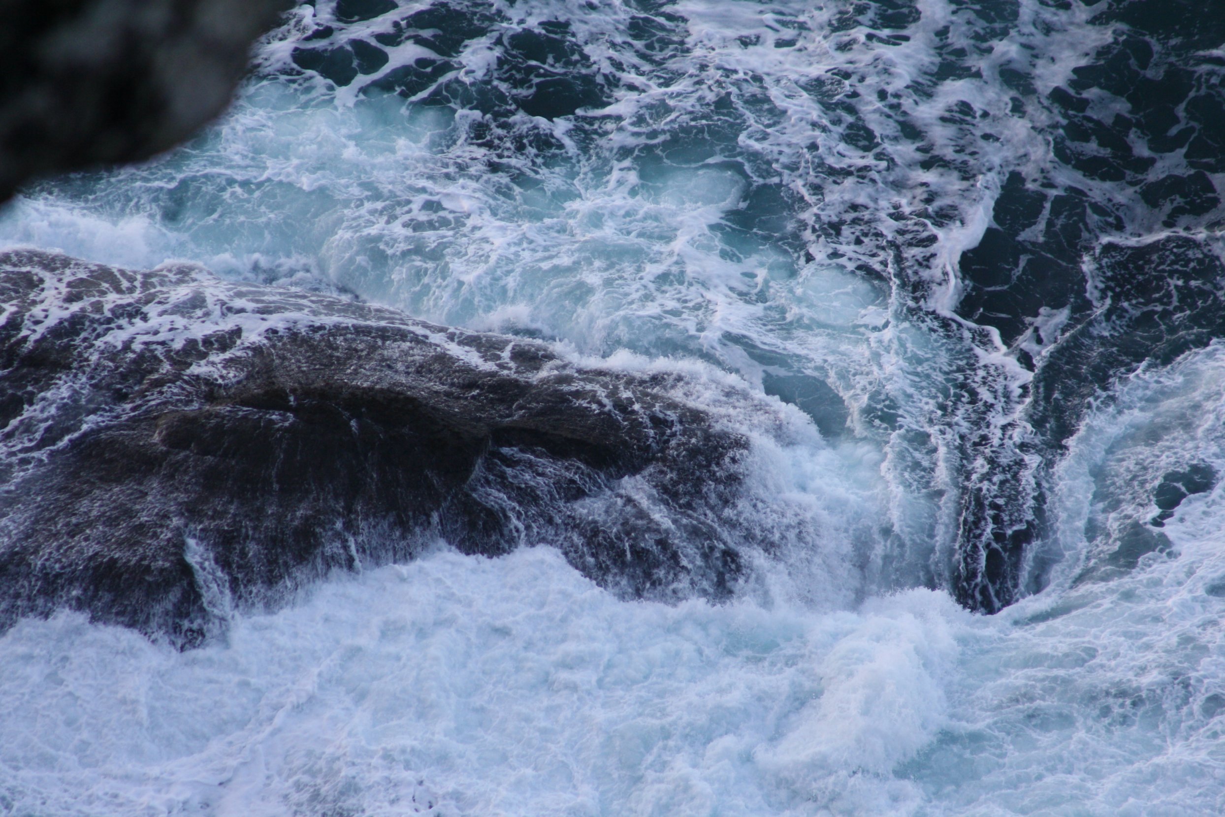
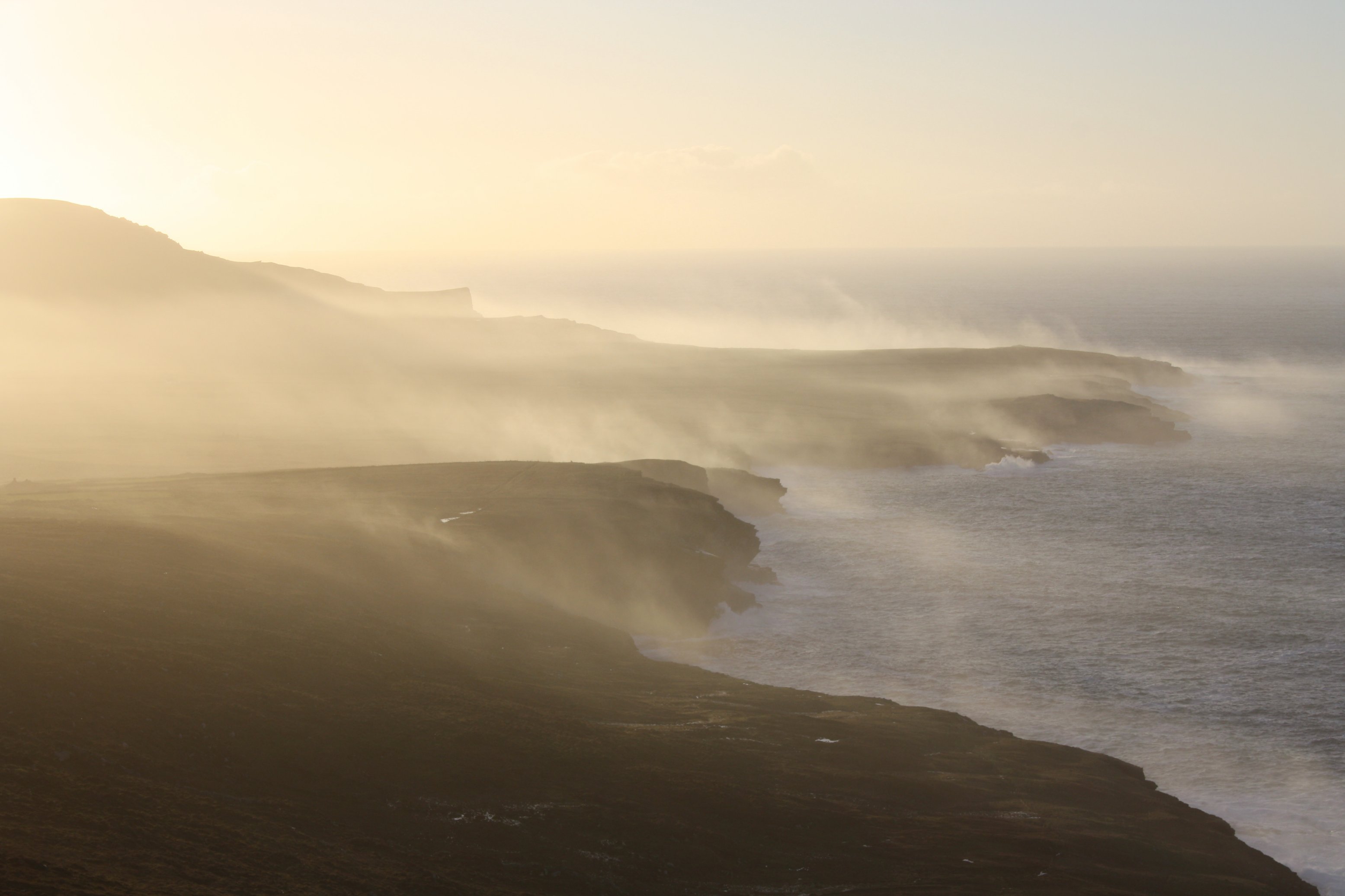
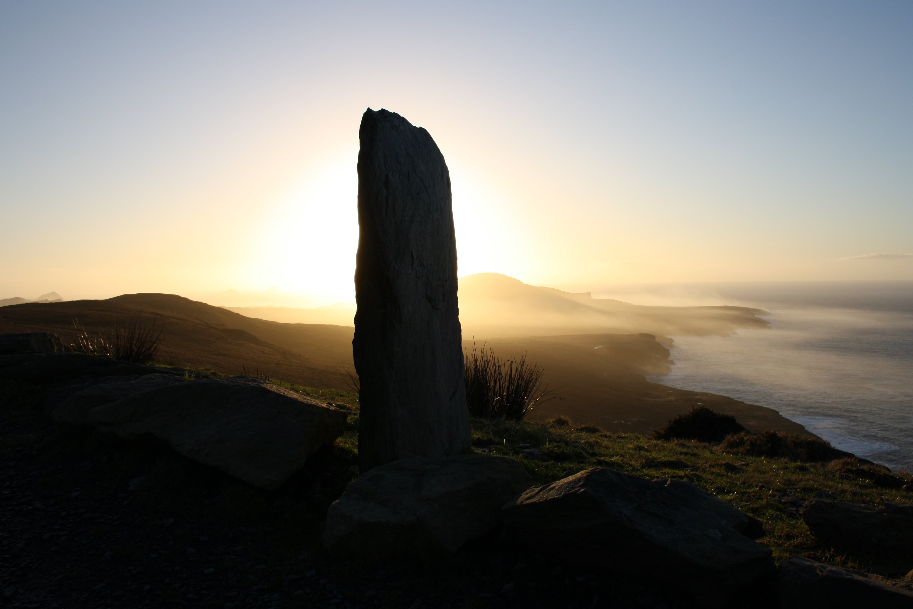
V a l e n t i a I s l a n d - G e o k a u n M o u n t a i n a n d F o g h e r C l i f f s
Tuesday 8 January 2013
Valentia Island is the most westerly point of the Iveragh-Peninsula, where we live at the moment.
Since the seventies of the last century Valentia is connected to the mainland by a bridge.
Valentia Island is about 80 kilometers from Kenmare.
The route from Kenmare to Valentia is largely part of the Ring of Kerry-route.
At Valentia Island are the Geokaun Mountain and the Fogher Cliffs,
and both were destination of our trip to Valentia.
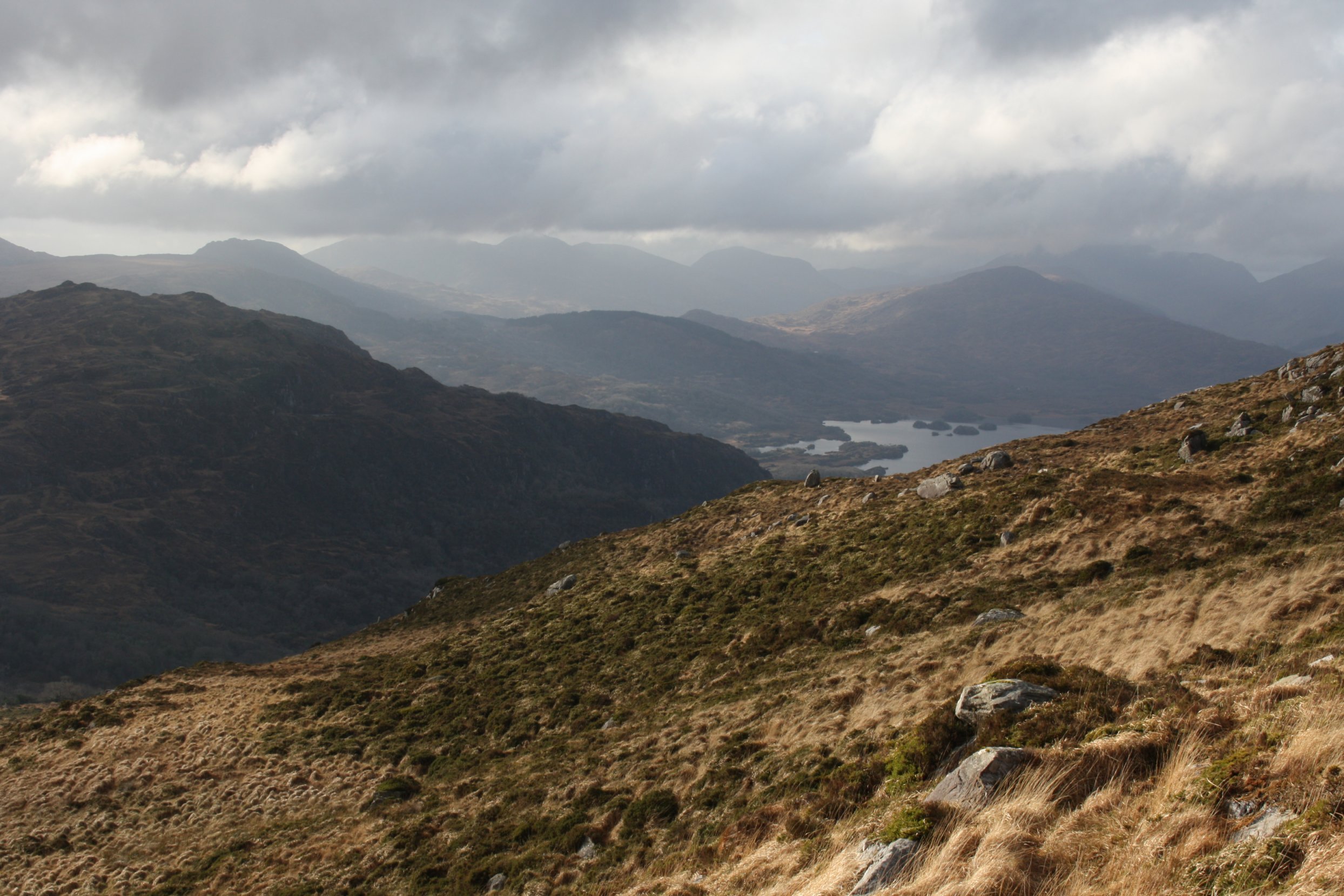
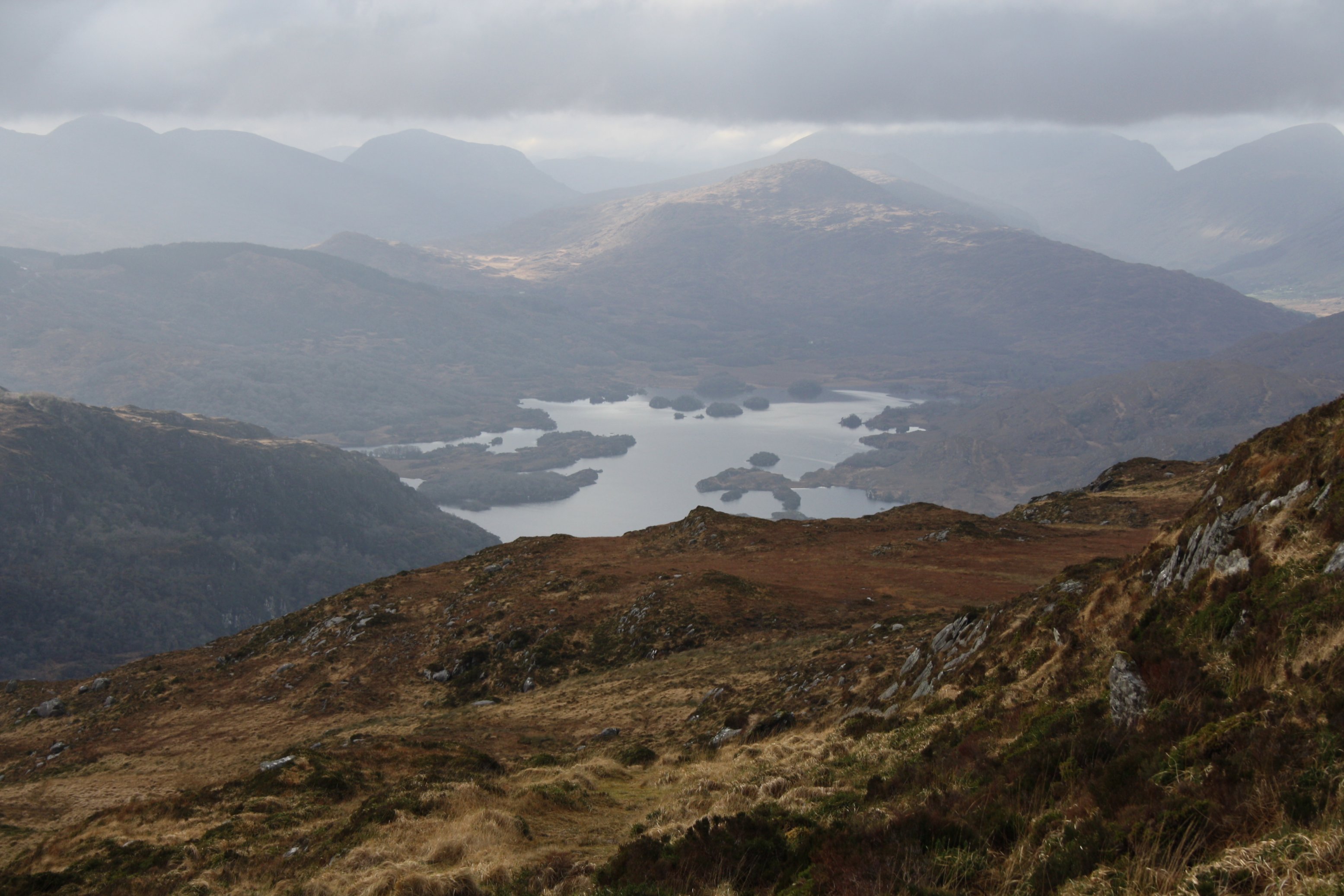
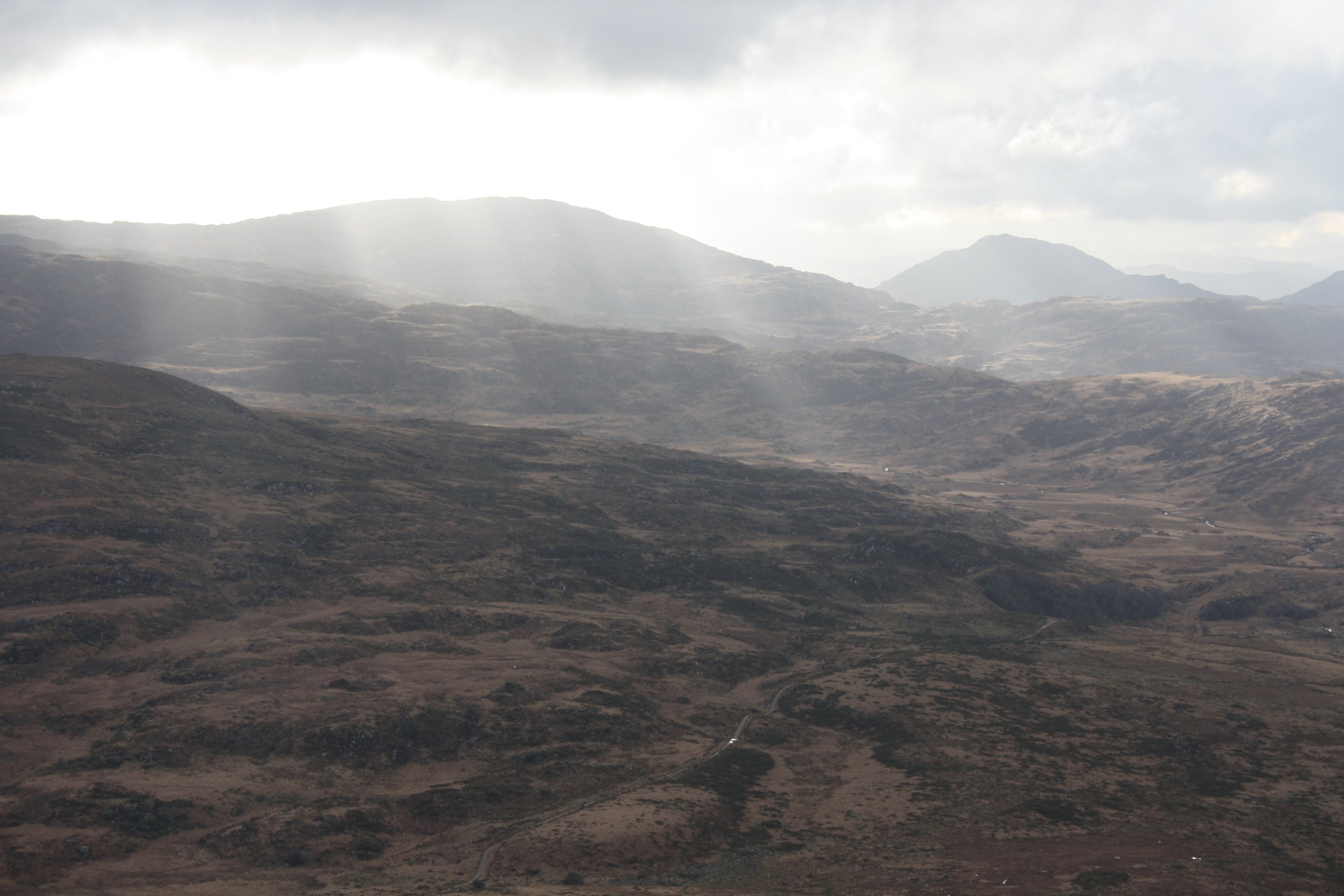
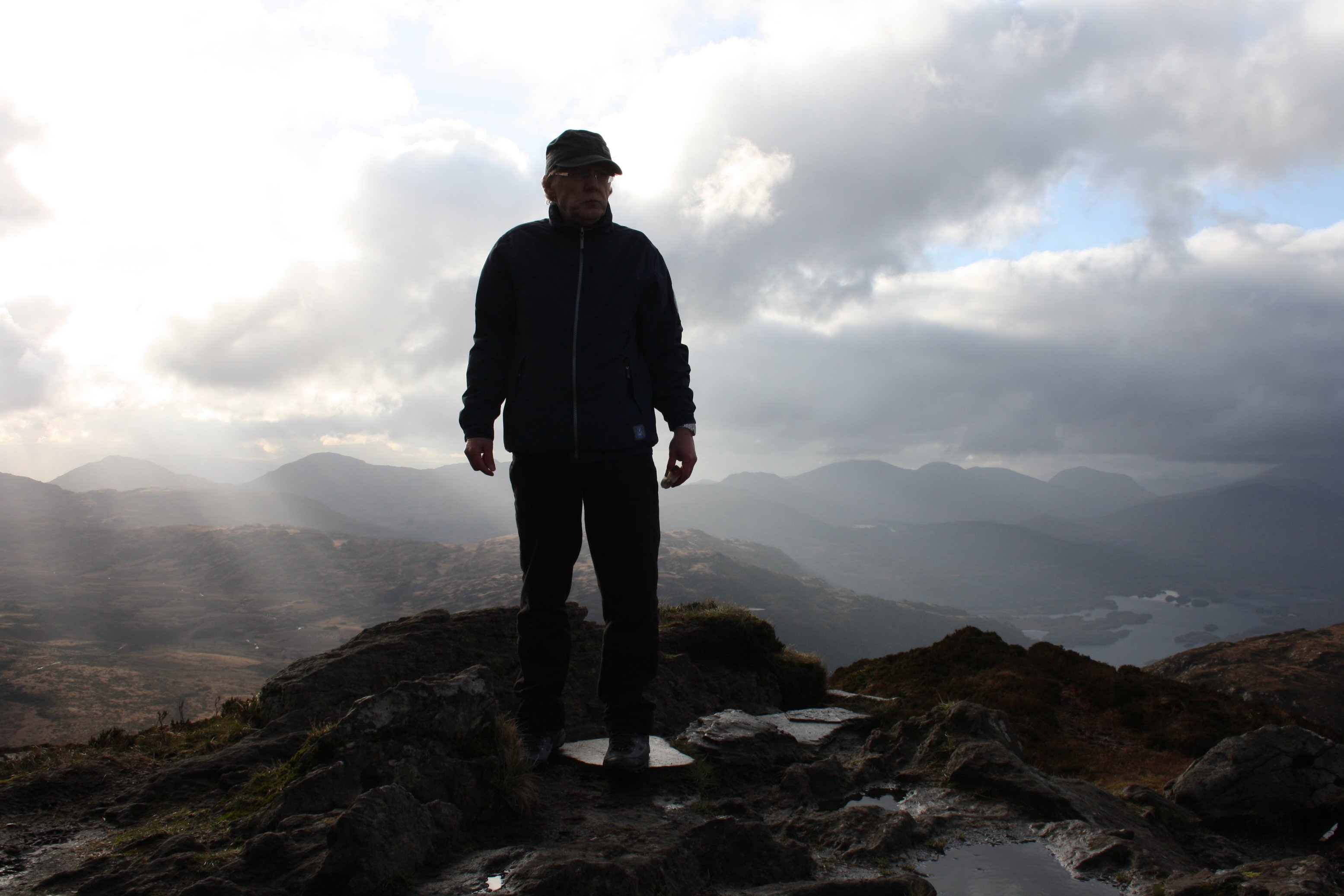
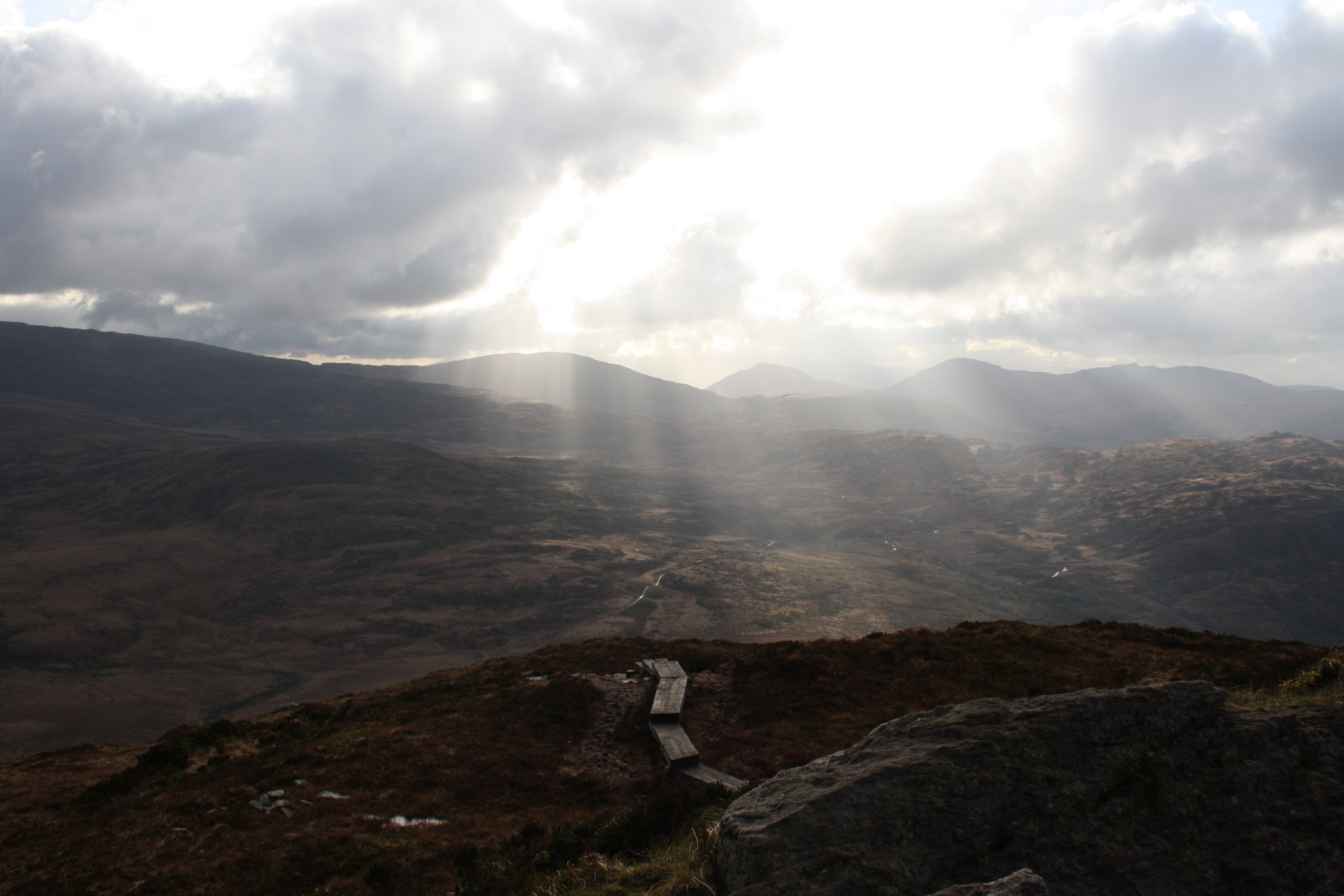
T o r c M o u n t a i n
Wednesday 9 January 2013
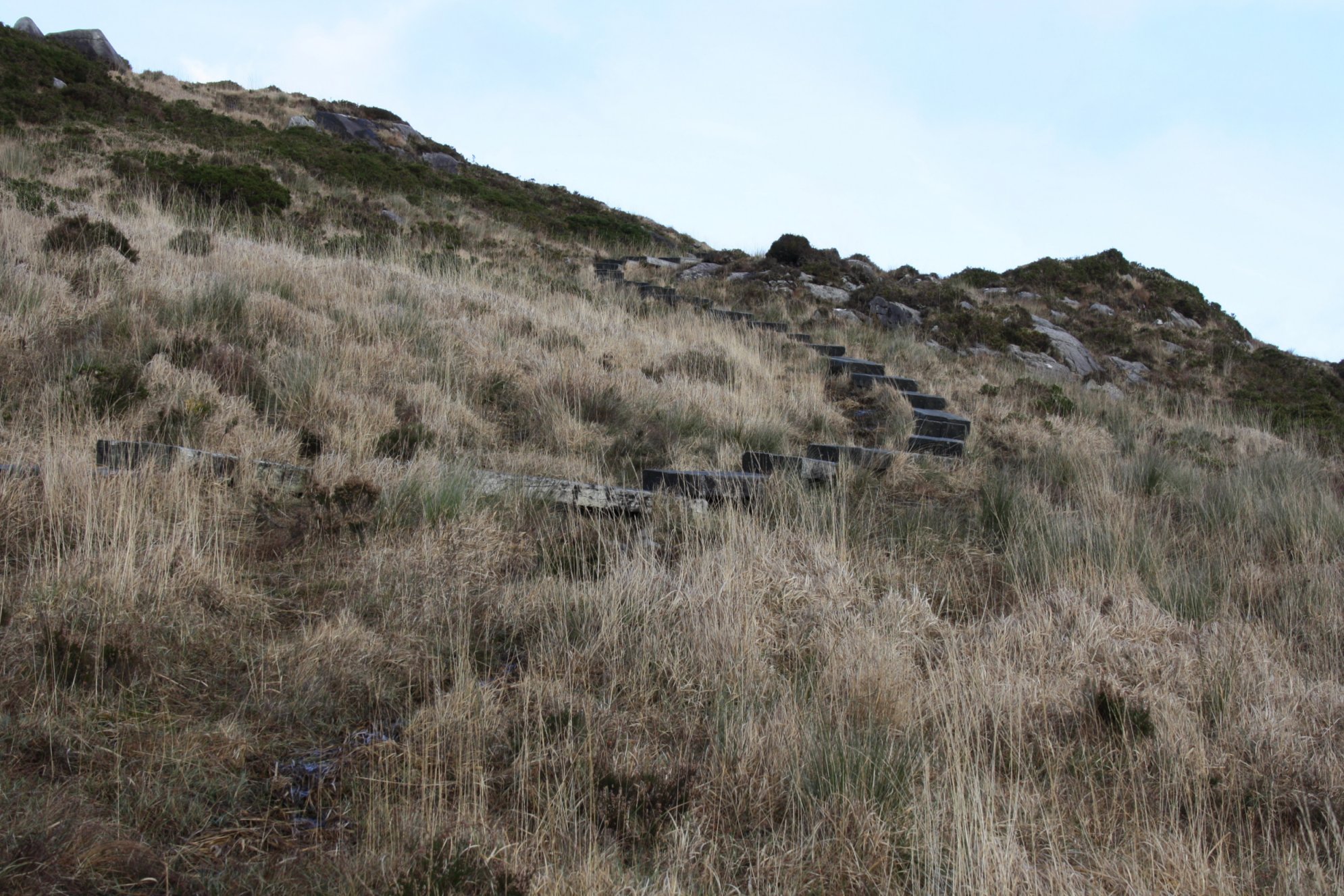
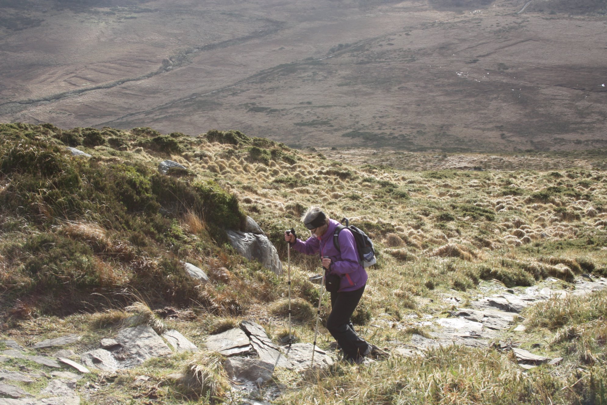
Torc Mountain is a 535 meters high hill not far from Killarney National Park.
Last December we walked the southern side of it (see: December photos).
This time we took the path at the northern side of the mountain.
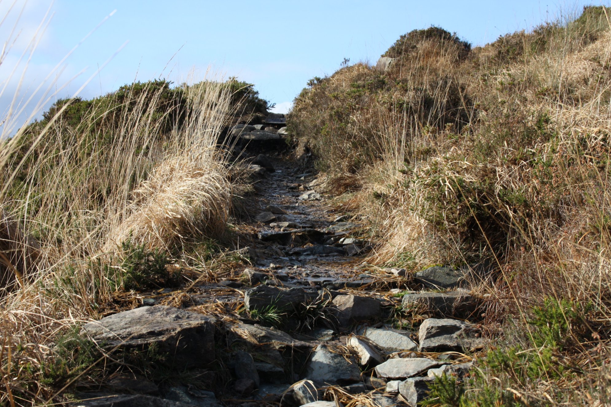
This path brings you to the very top.
From street level the first part of the walk is through friendly woodlands, and only after about 4 kilometers the real climb starts.
Railway sleepers keep your feet dry at the most wettest parts of this climb.
At other stretches the rain of the last couple of weeks has made it al slippery.
The higher you get, the better views of Killarney and its surrounding lakes.
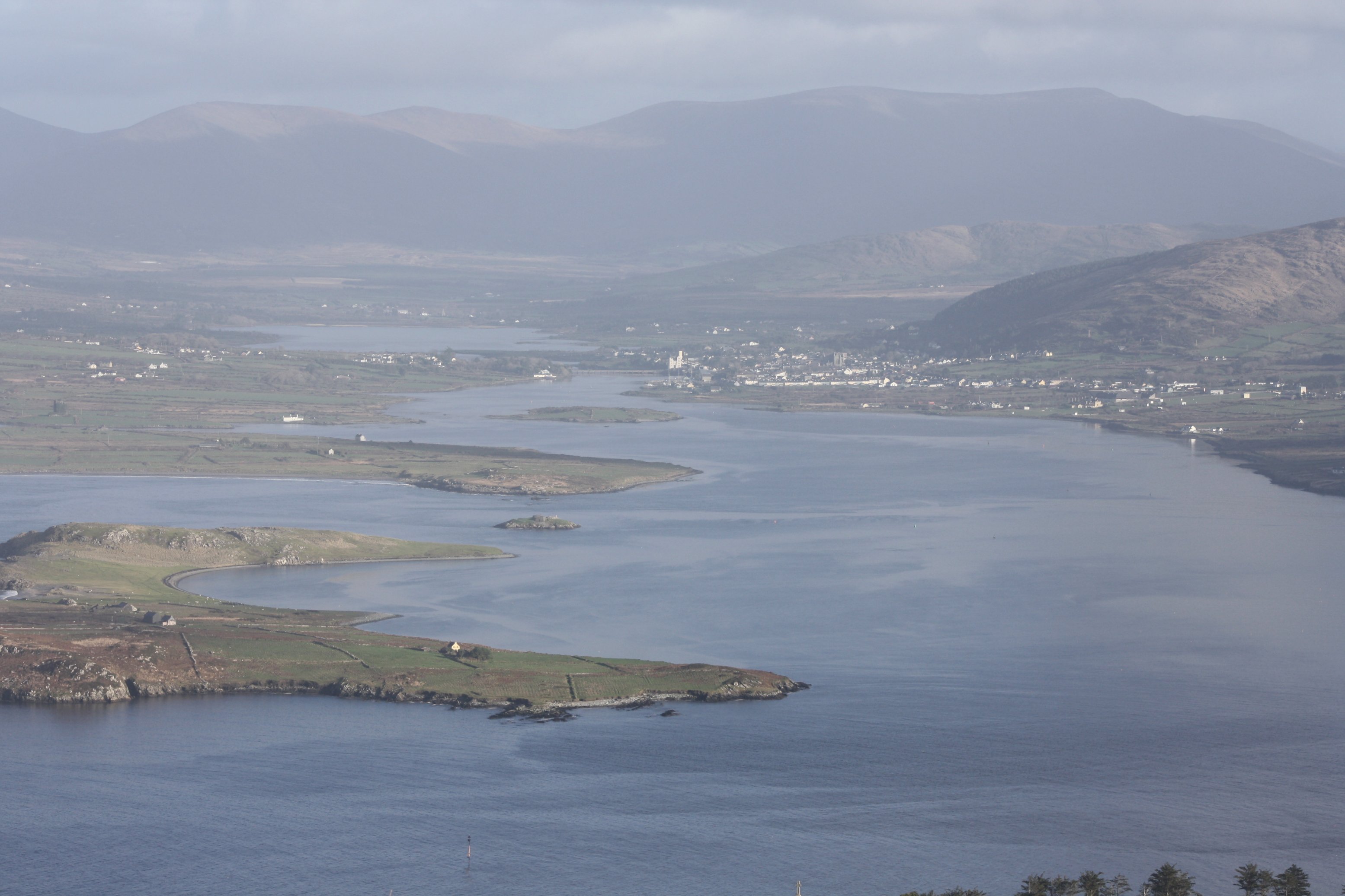
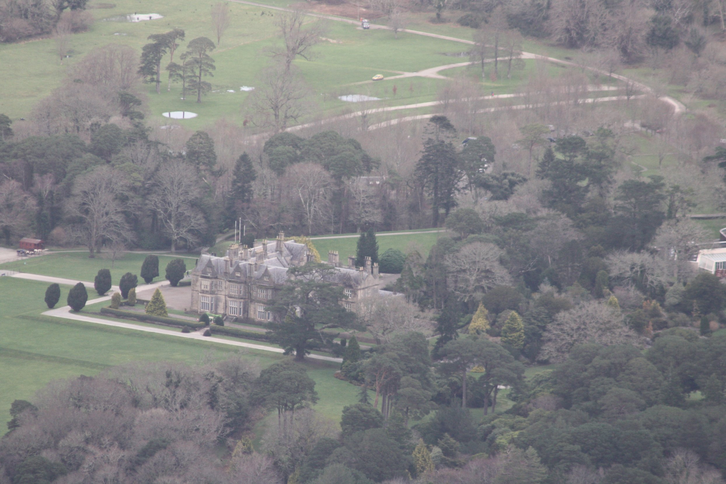
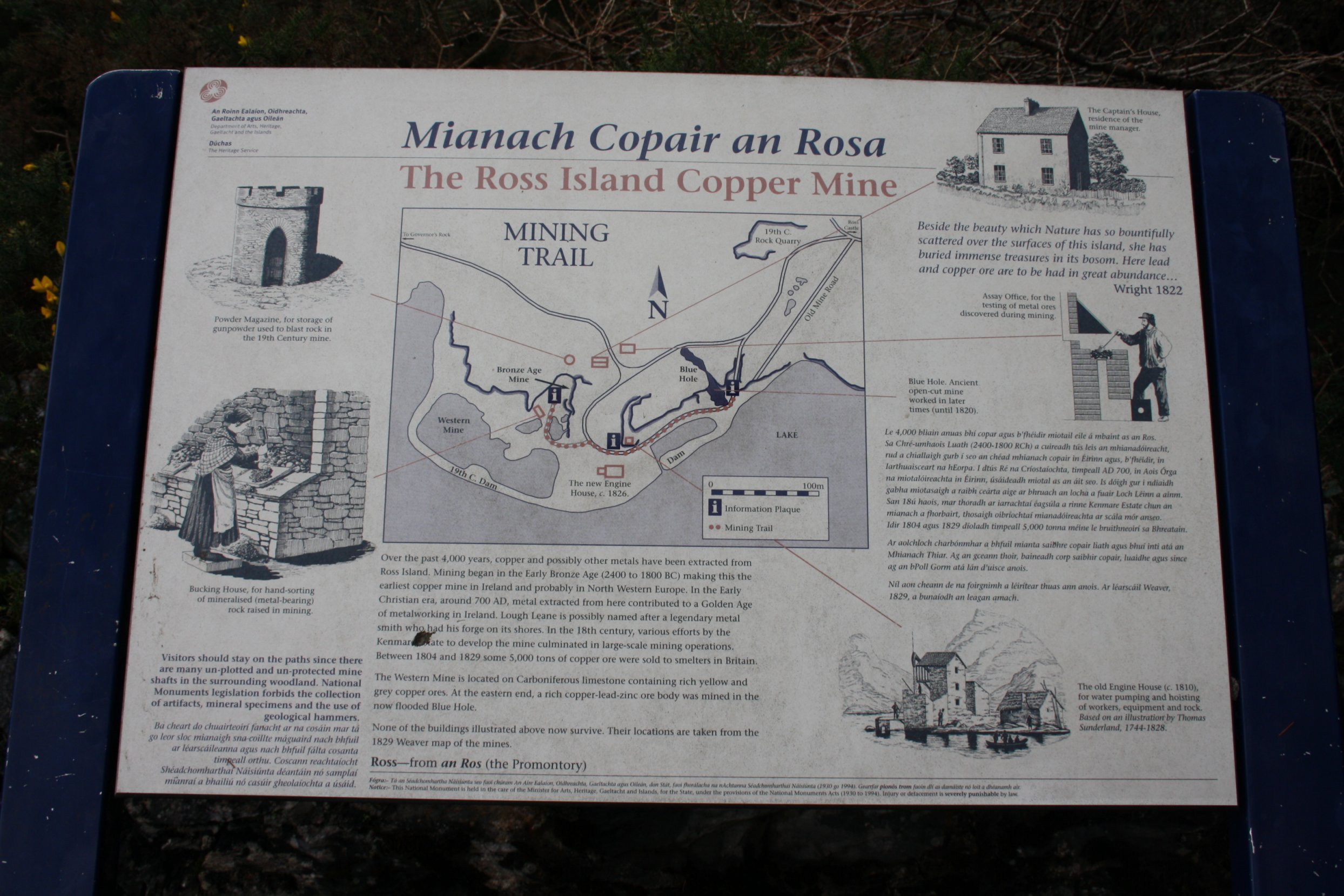
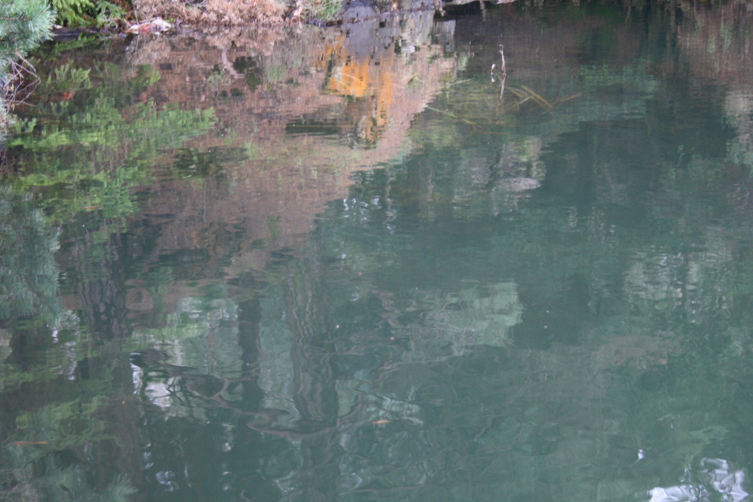
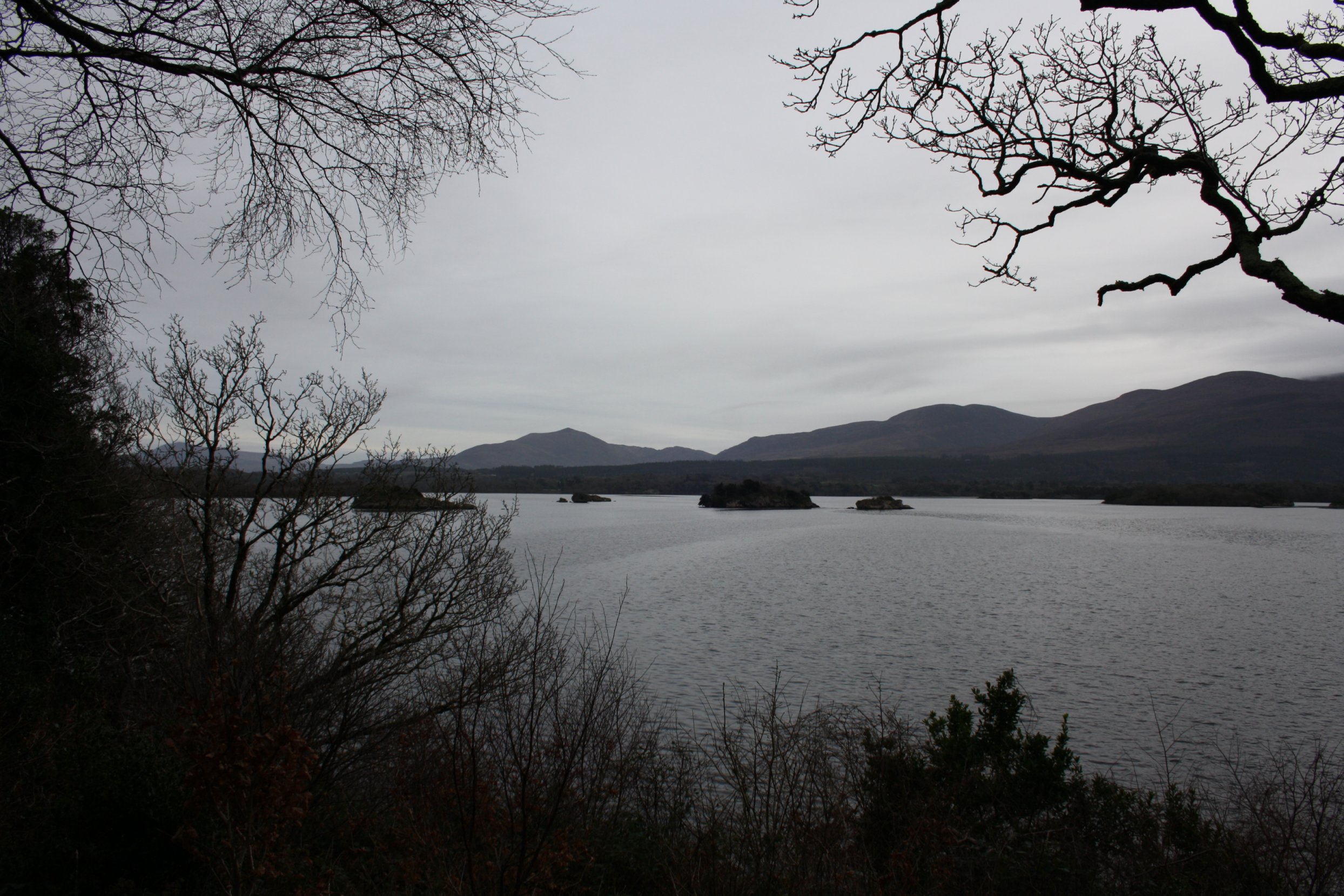
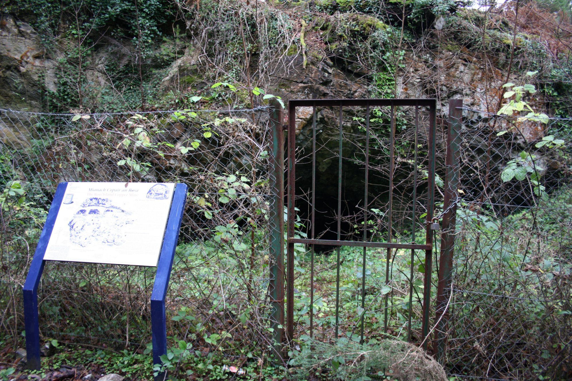
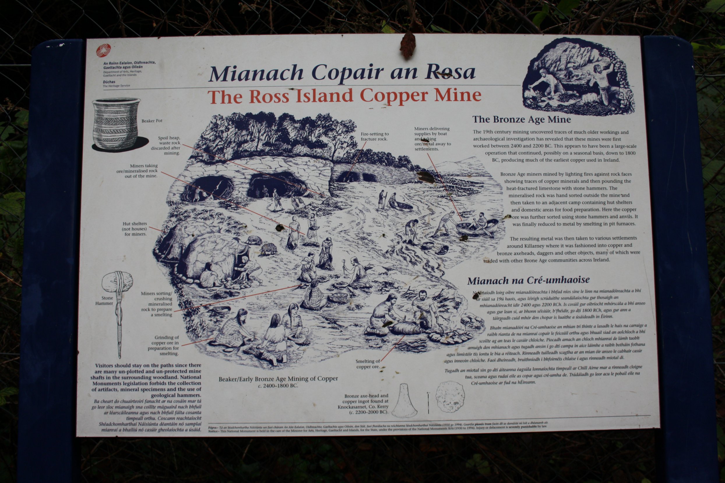
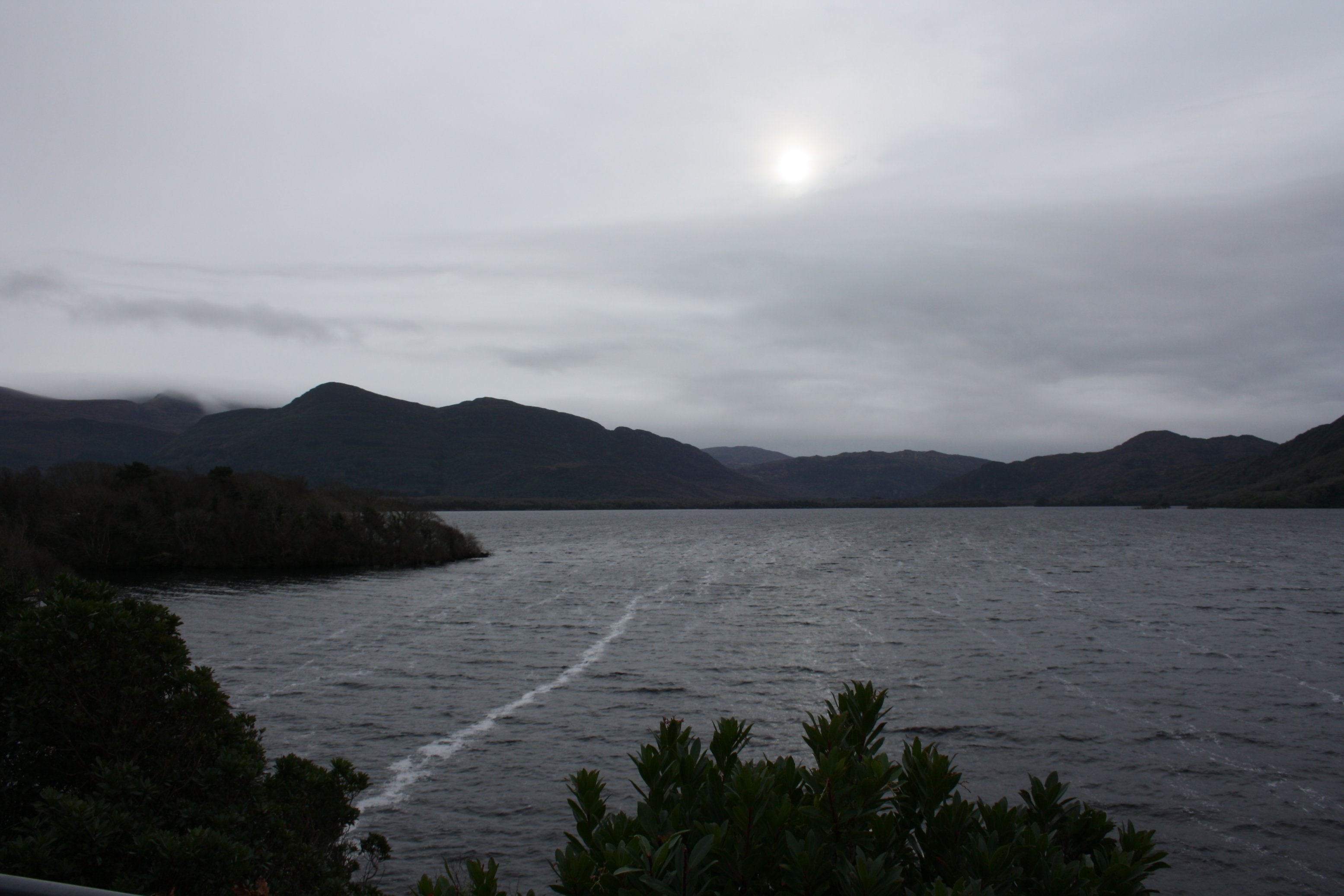
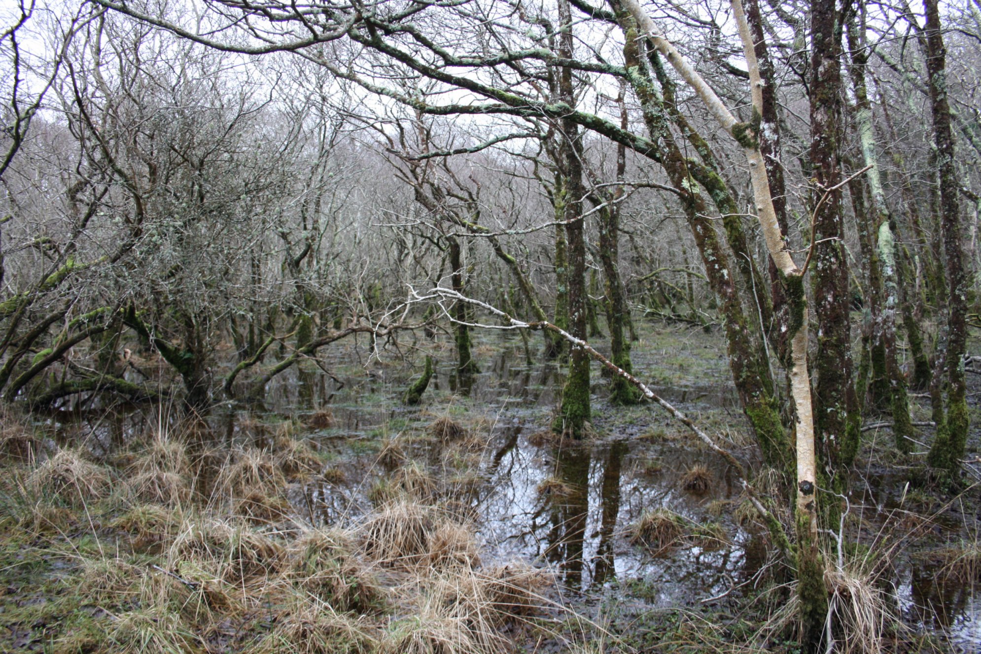
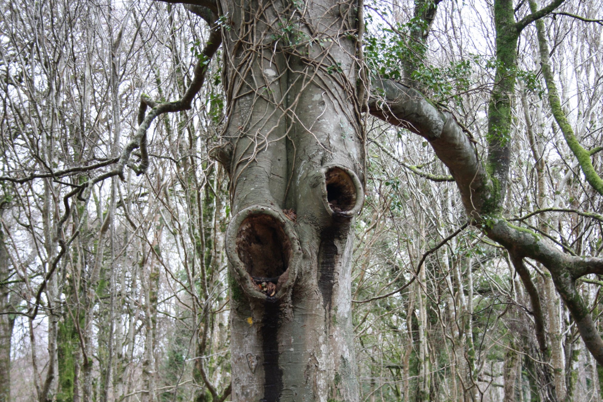
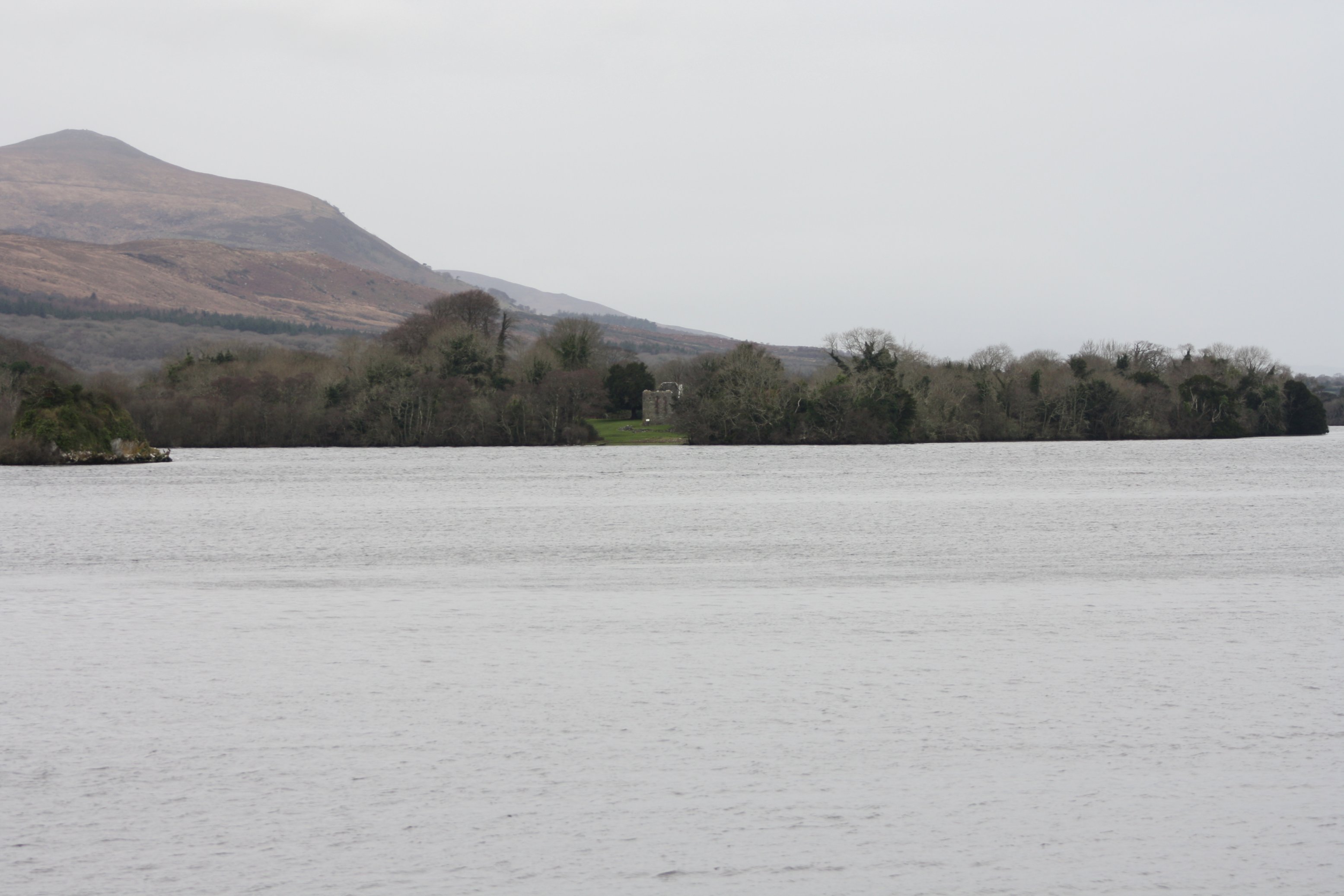
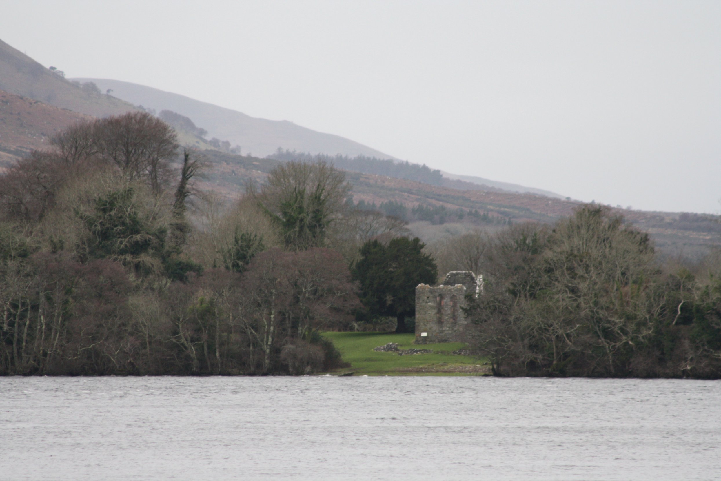
R o s s I s l a n d
Tuesday 15 January 2013
Ross Island is a small peninsula near Killarney where from the Early Bronze Age (2400 - 1800 BC) mining took place.
Large scale copper mining, however, took place in the period from 1804 until 1829 when about 5000 tons of copper was mined here.
The remains of this latter period, the old shafts, are still present.
Not all of those shafts are clearly marked, however, so visitors are urged to stay on the paths.
There are fine views of the surrounding lakes from this island.
The lower part of Ross Island suffered from 'wet feet' because of the heavy rains of the last couple of weeks and was partly flooded.
Of course Ross Castle is not far away from Ross Island
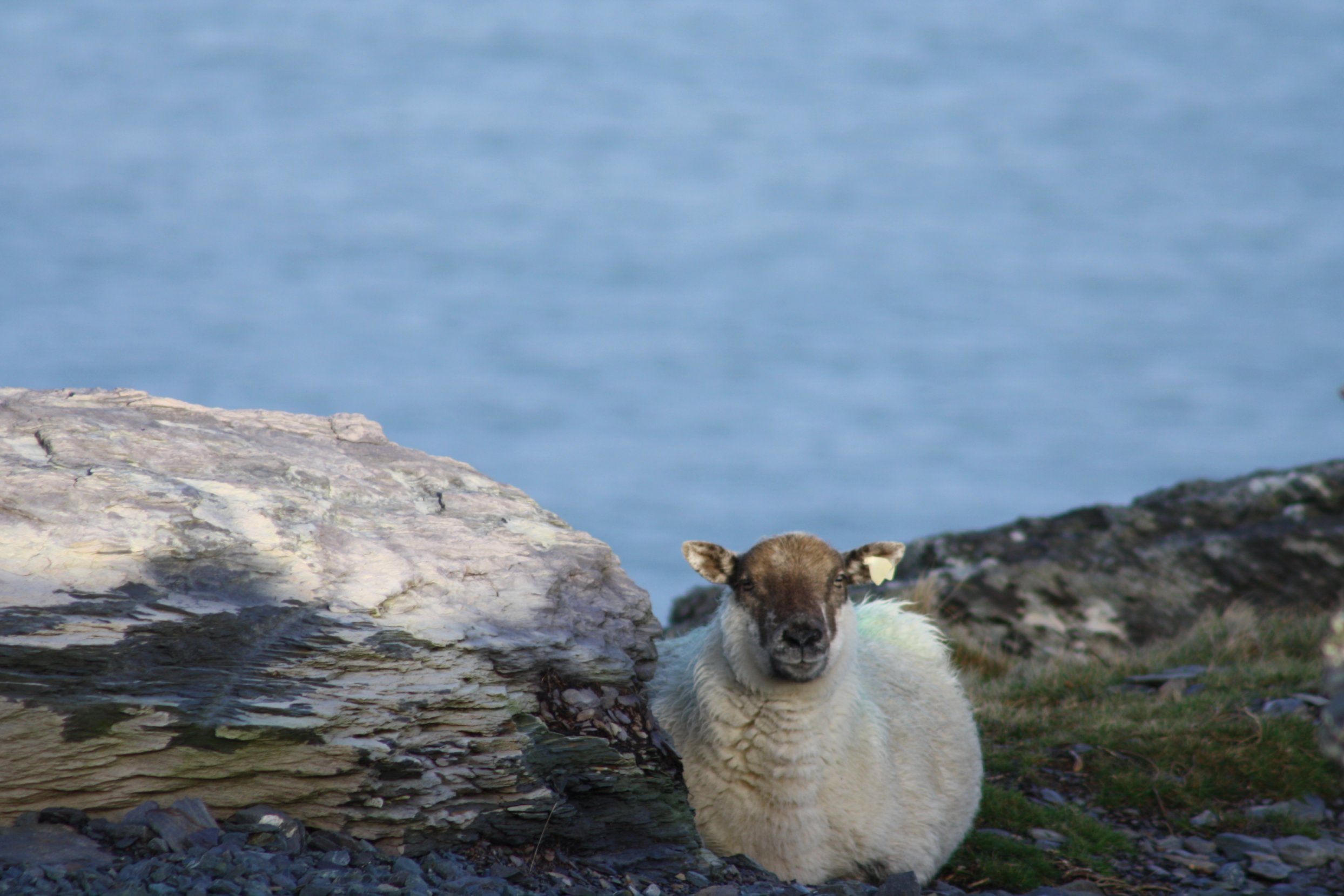
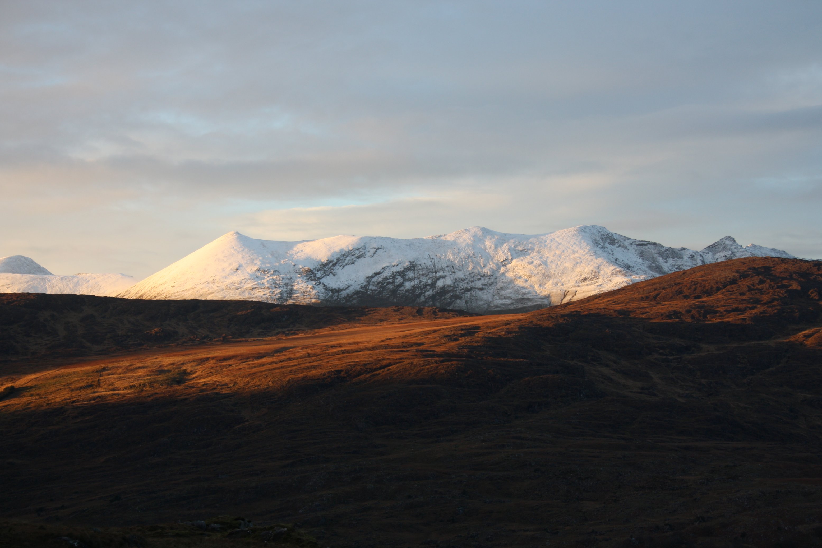
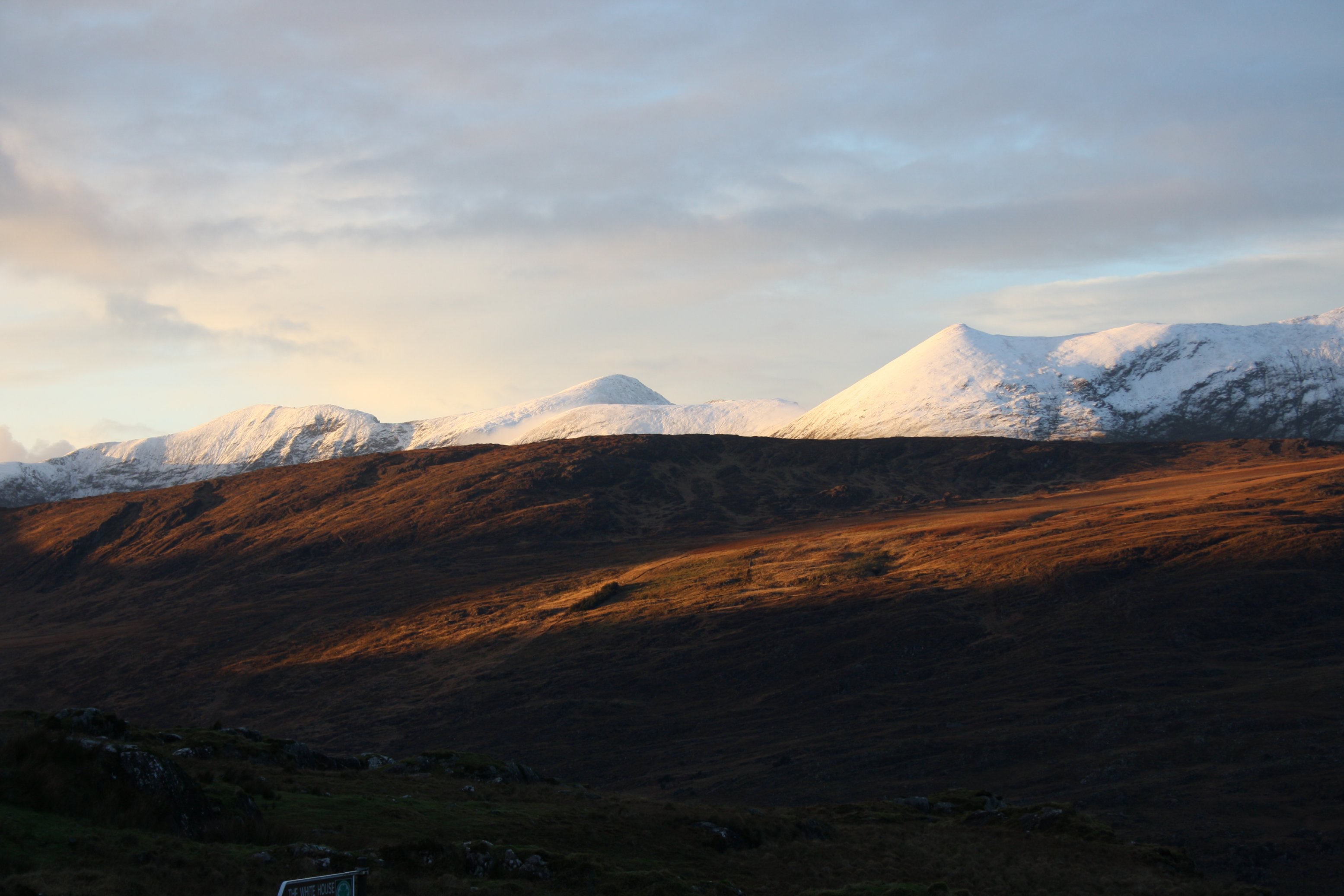
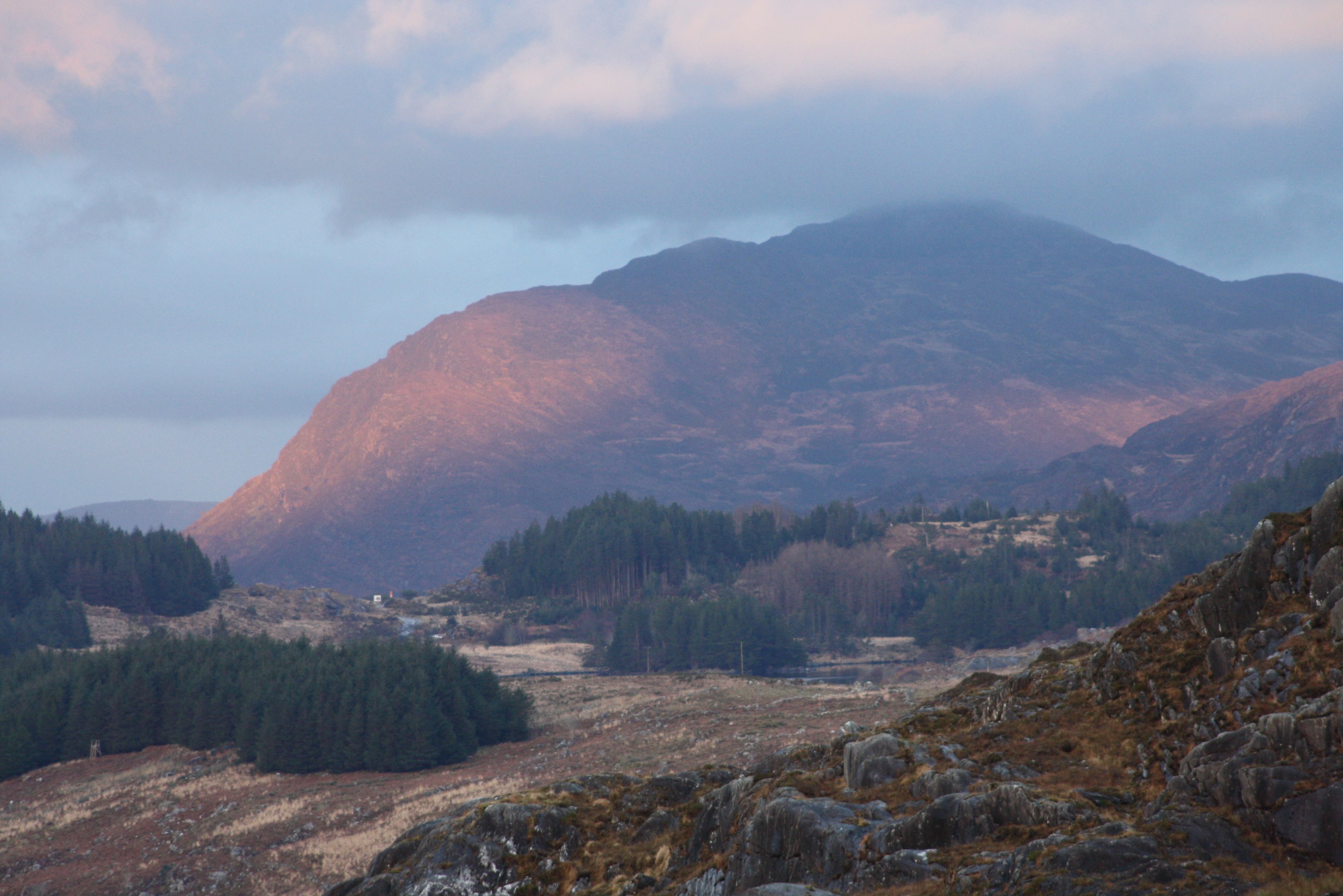
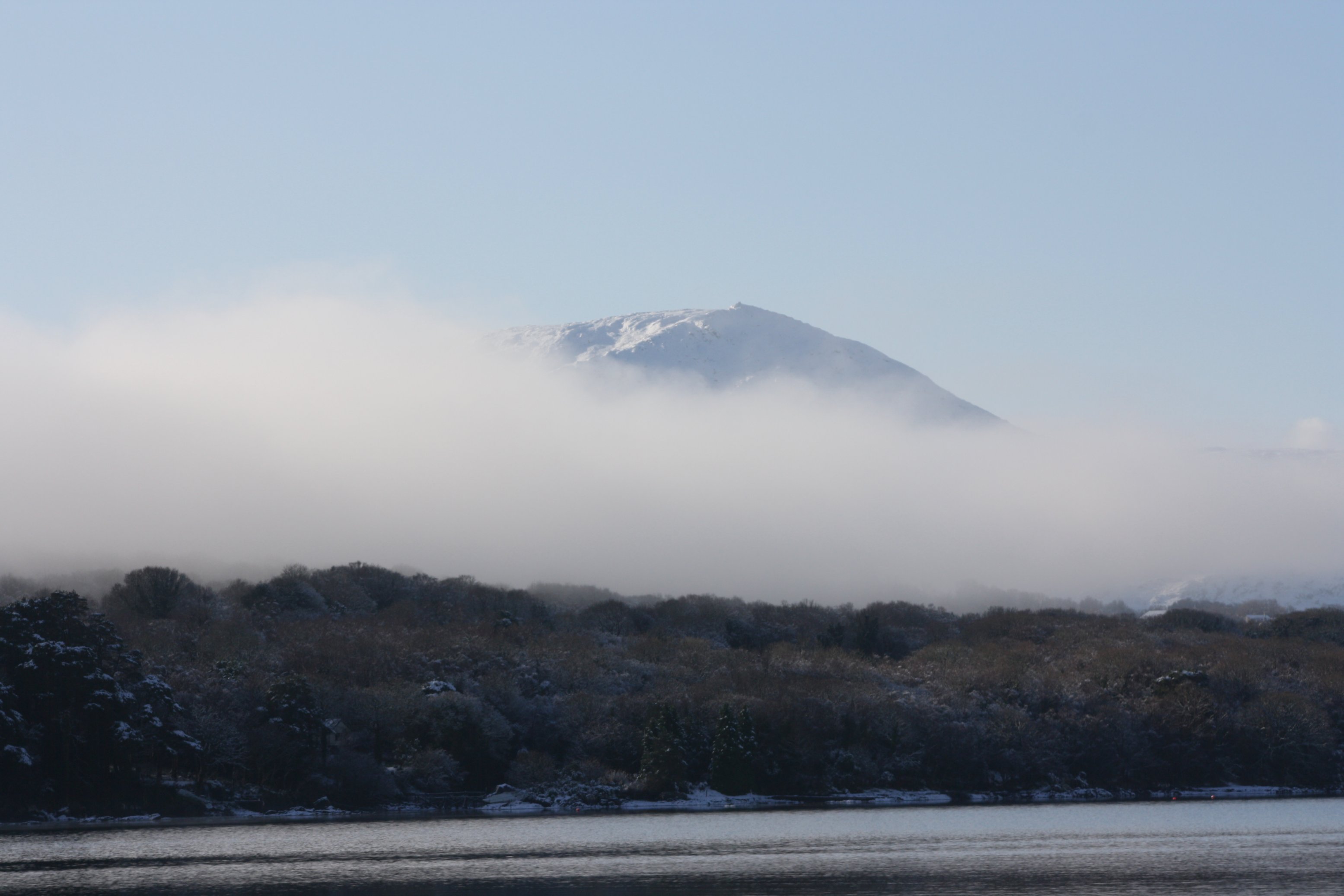
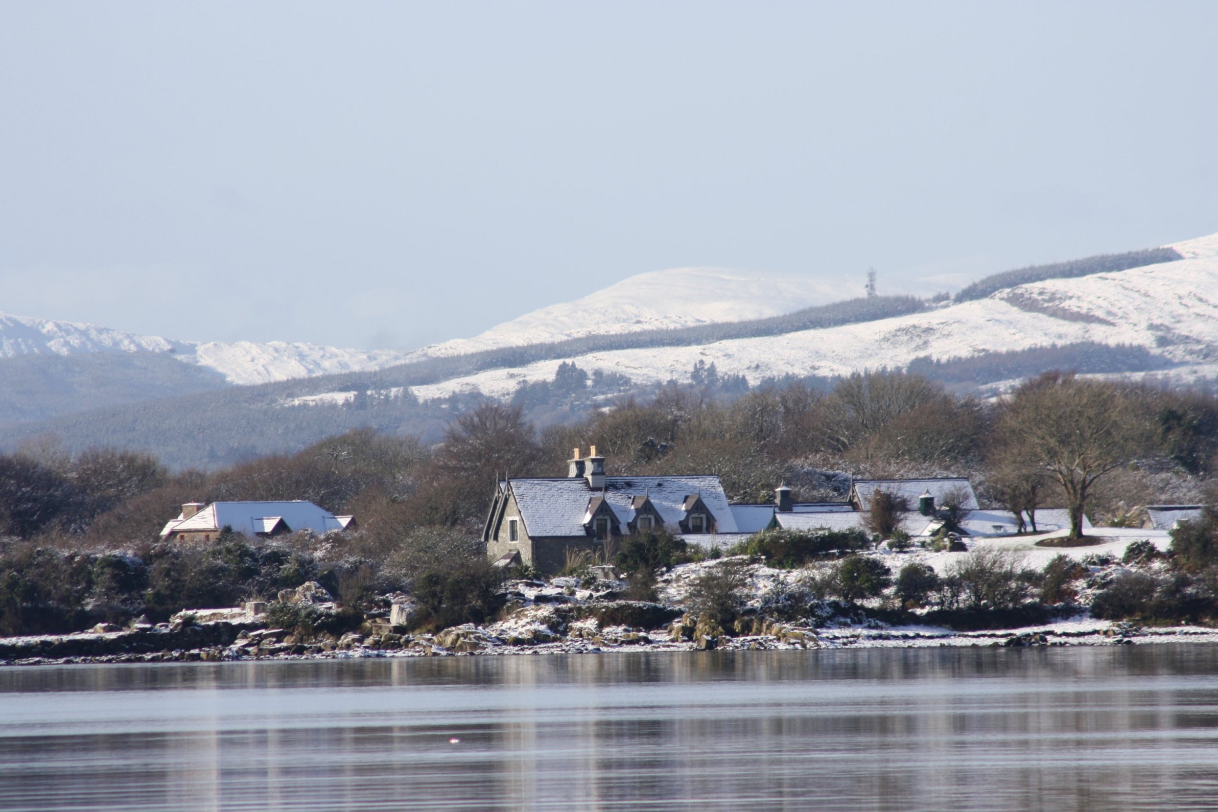
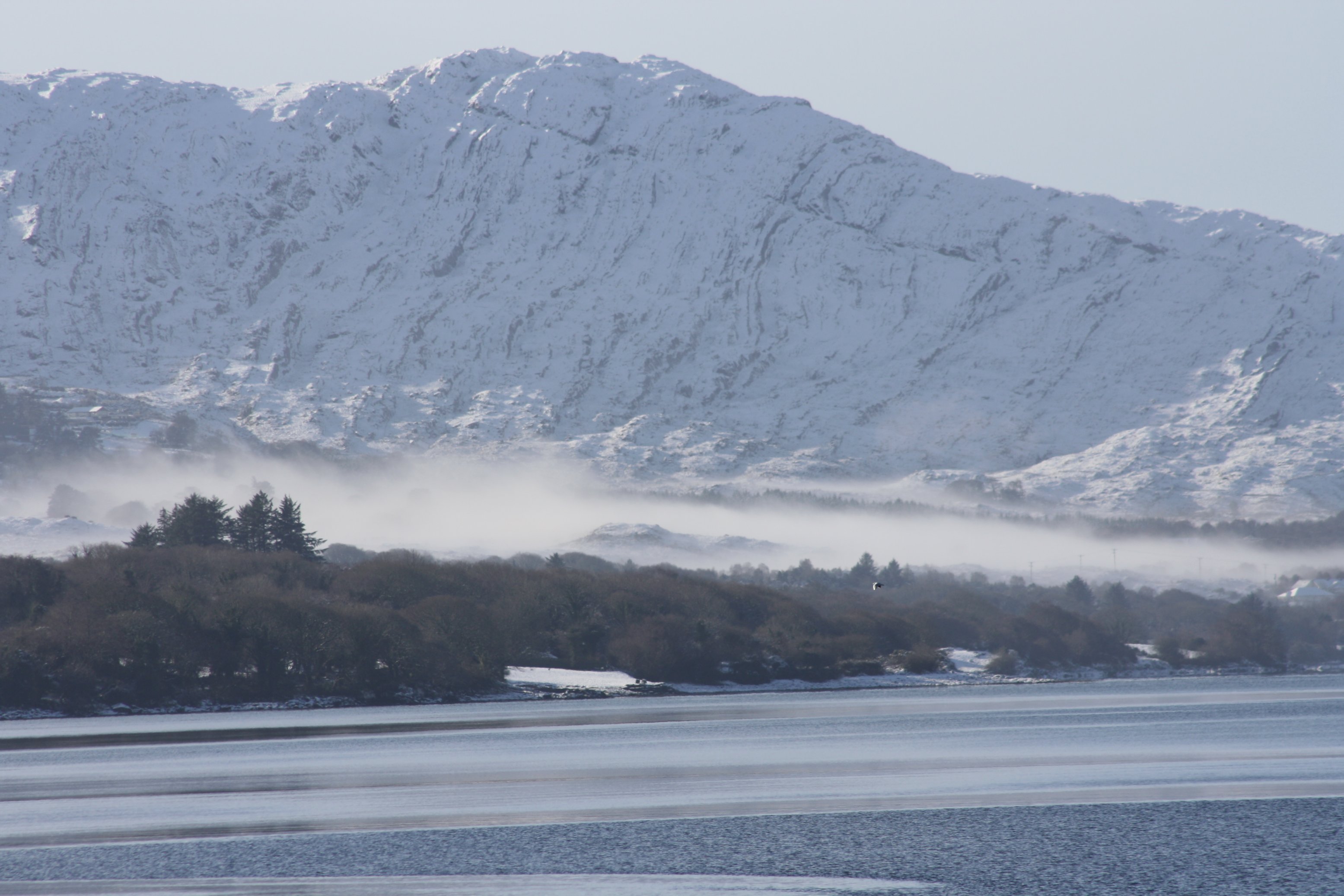
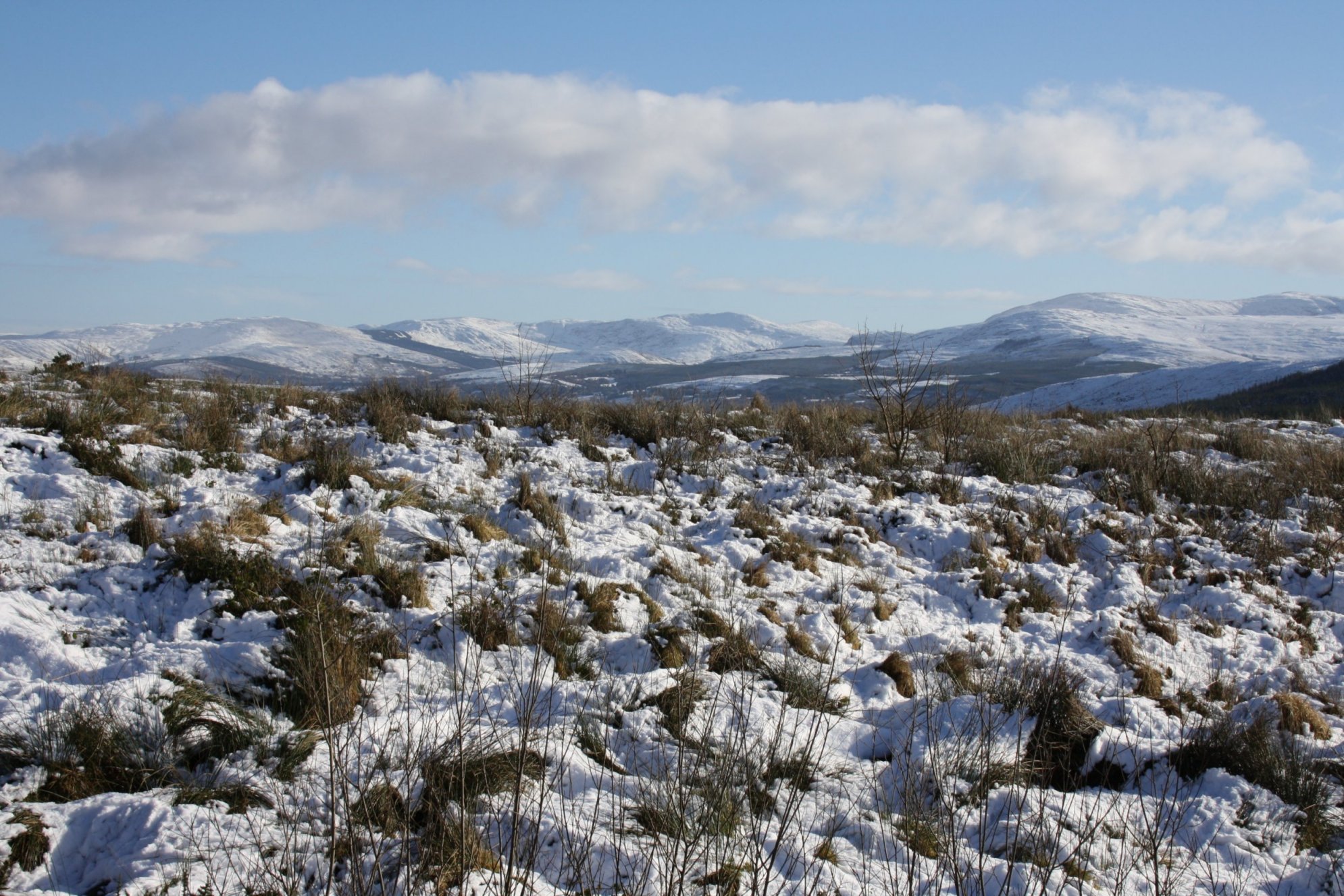
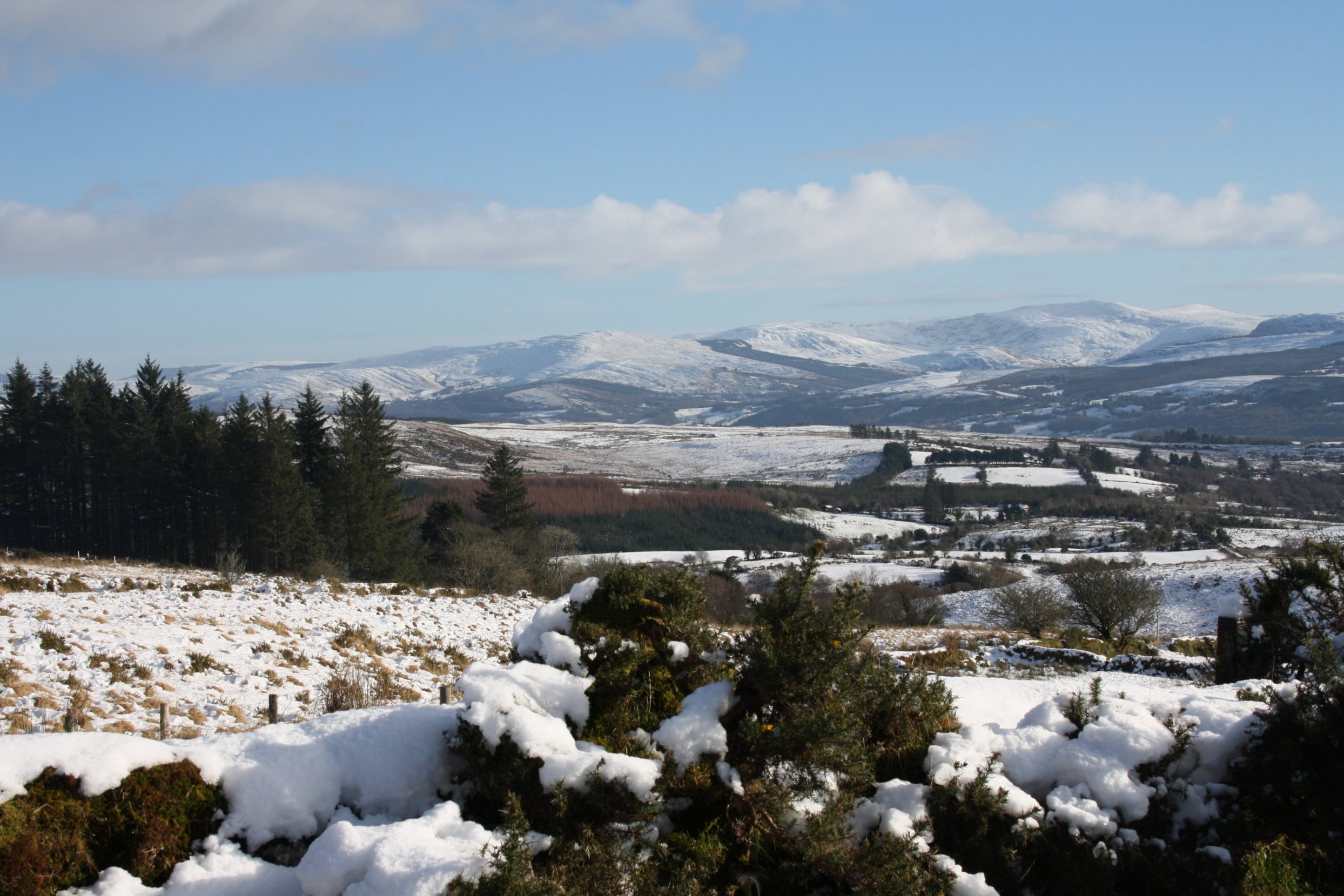
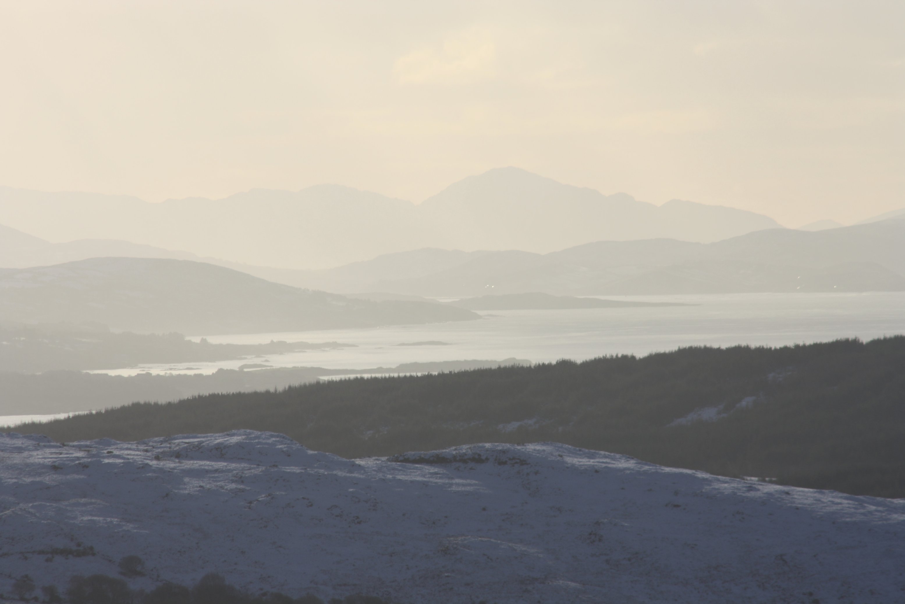
A T o u c h o f W i n t e r
Saturday 19 January 2013
A couple of wintery photos of this day's walk.
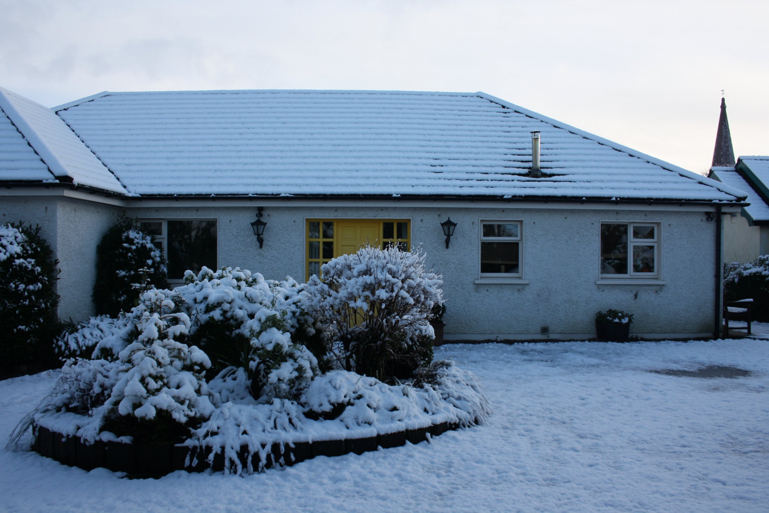
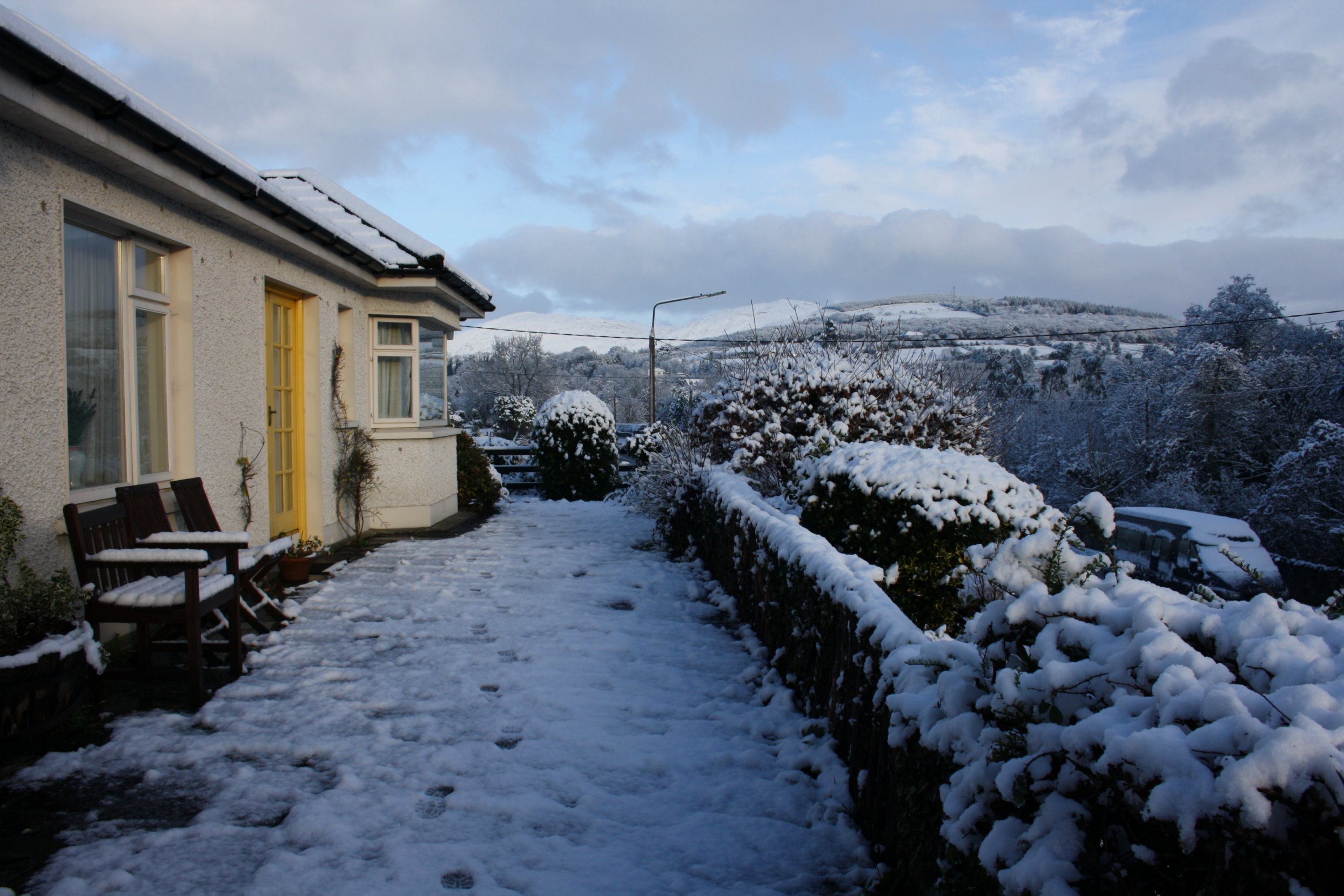
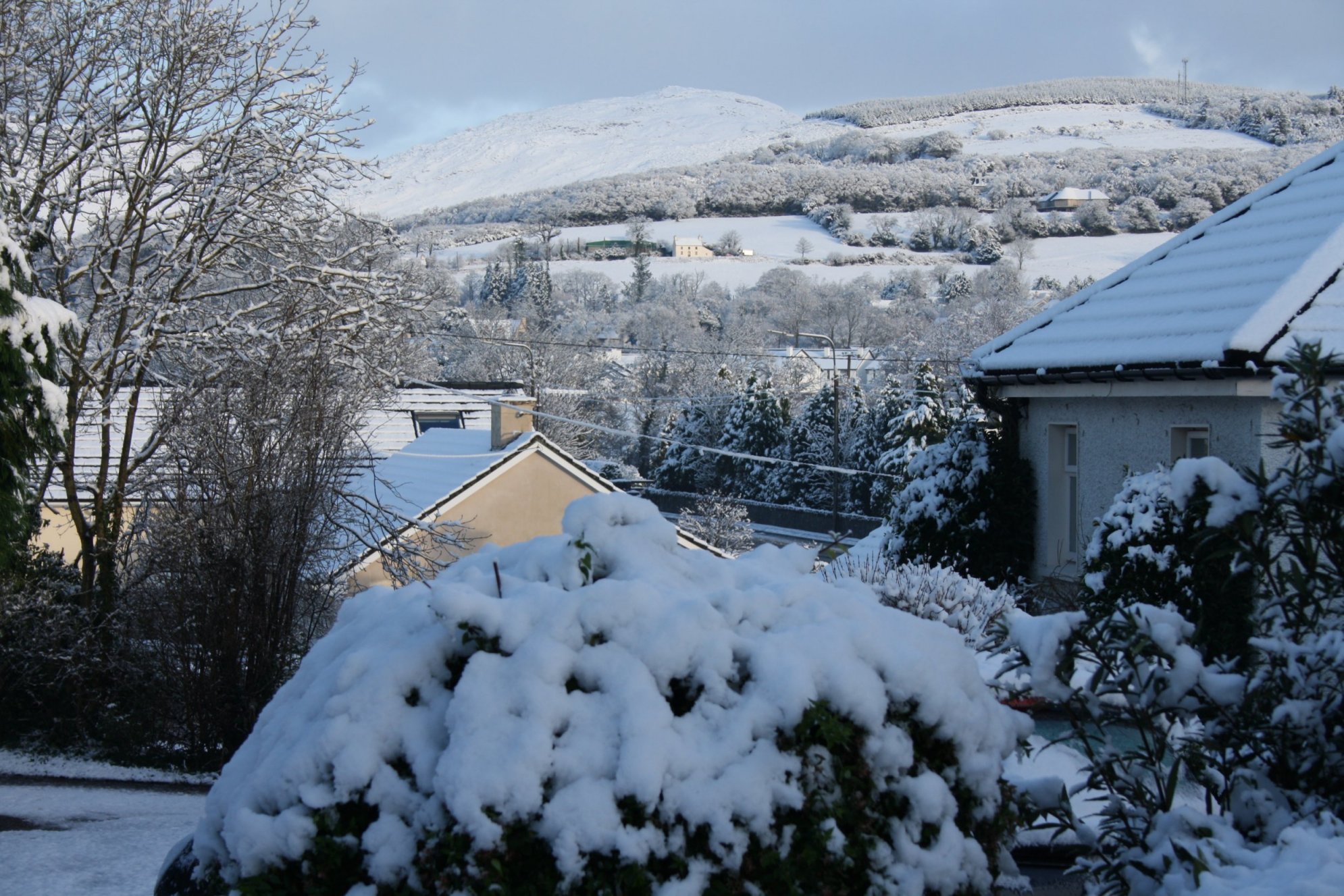
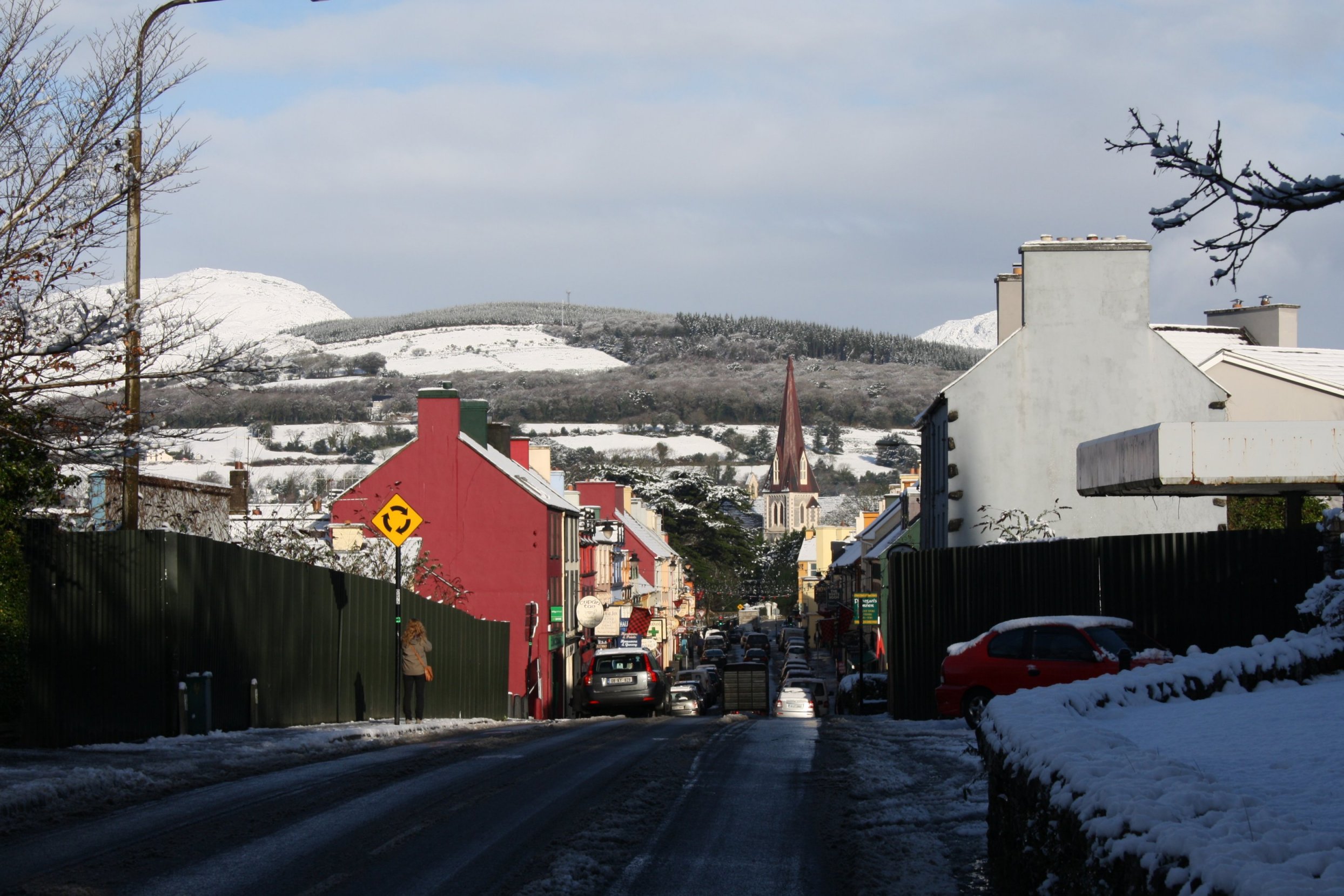
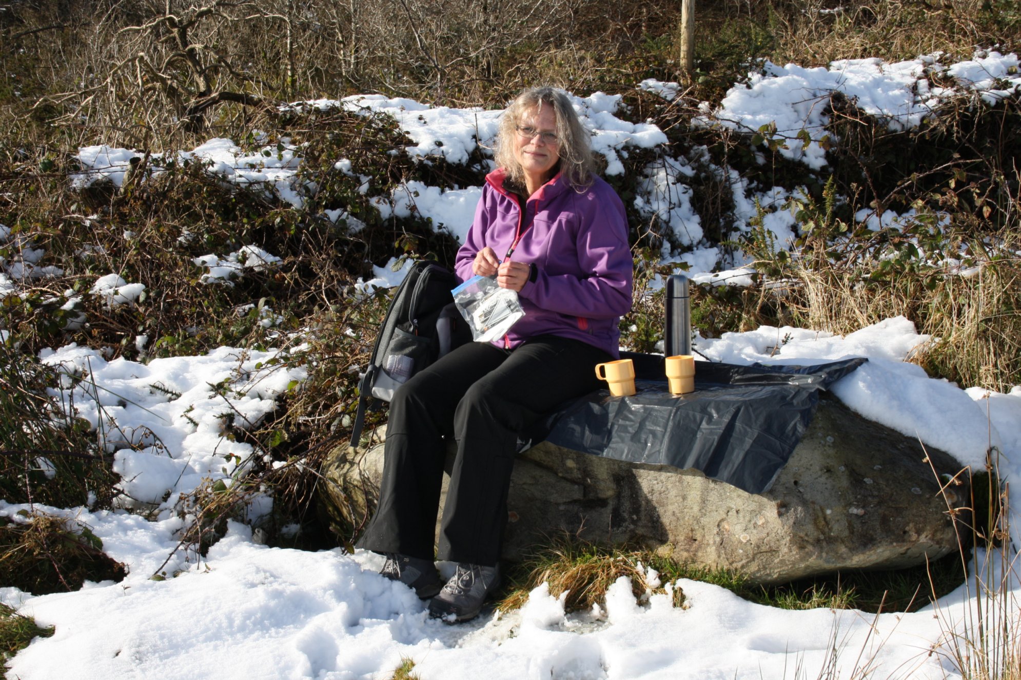
A s n o w y K e n m a r e
Monday 21 January 2013
Last night some snow has fallen here.
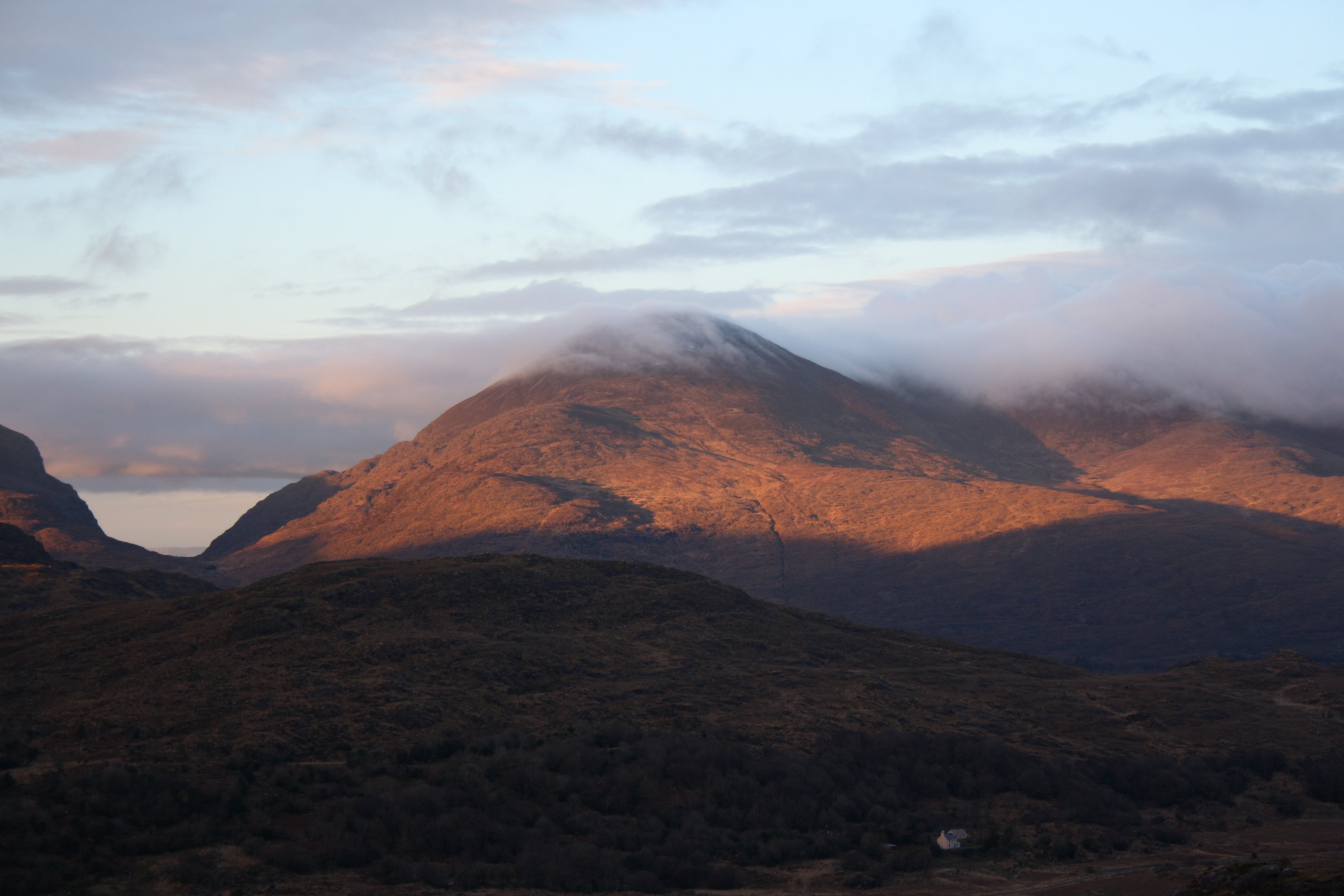
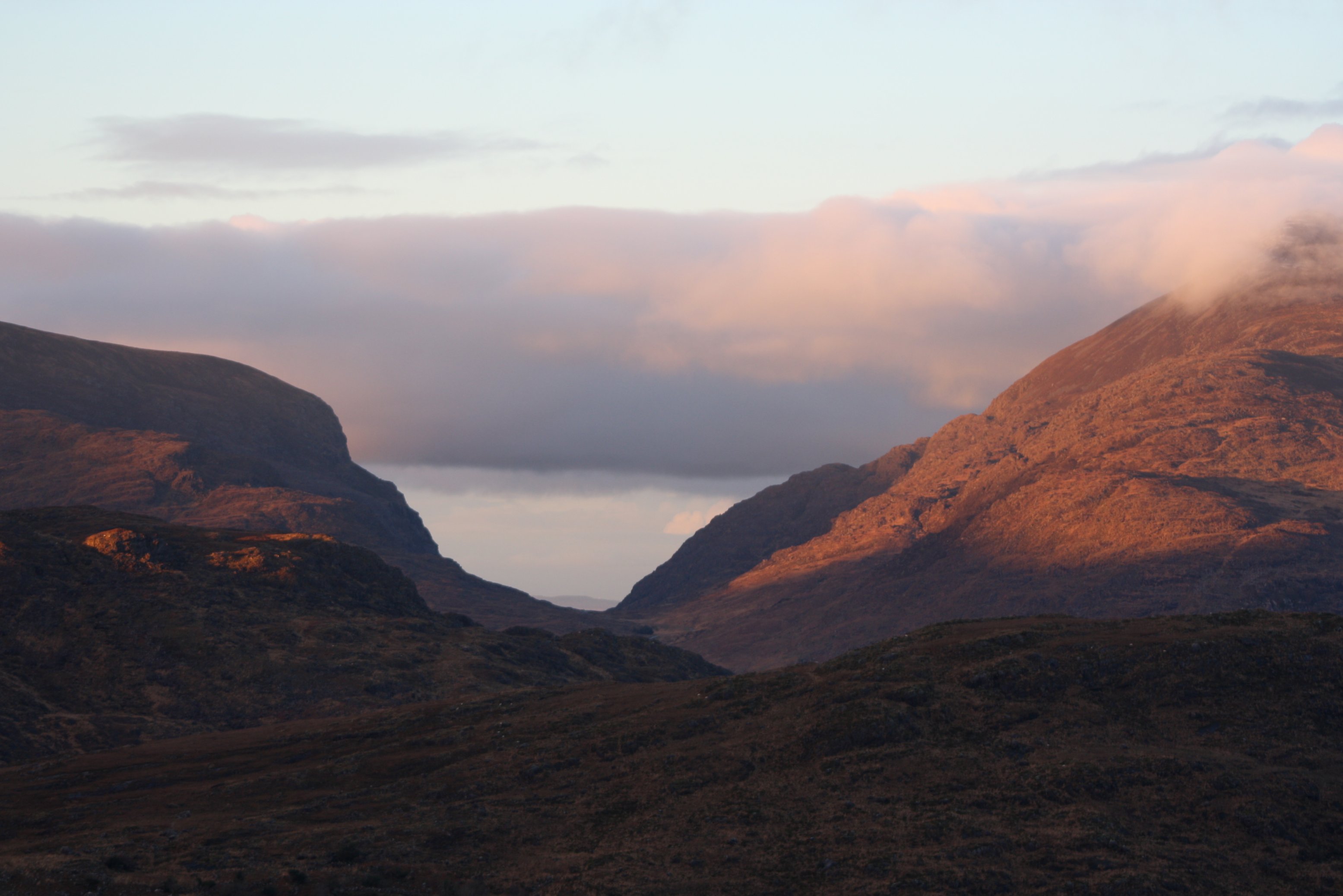
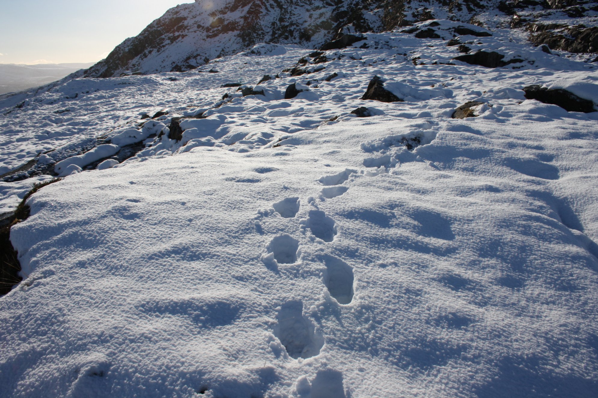
T i n y P a r t o f t h e K e r r y W a y
Tuesday 22 January 2013
Today we walked a small part of the Kerry Way-long distance footpath and well the Kenmare-Killarney stage up till its highest point called 'Windy Gap'.
Windy Gap's height is about 250 meters and from the top you have fine views over Kenmare, Kenmare River and the surrounding hills.
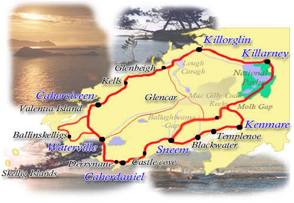
R o s s b e i g h B e a c h
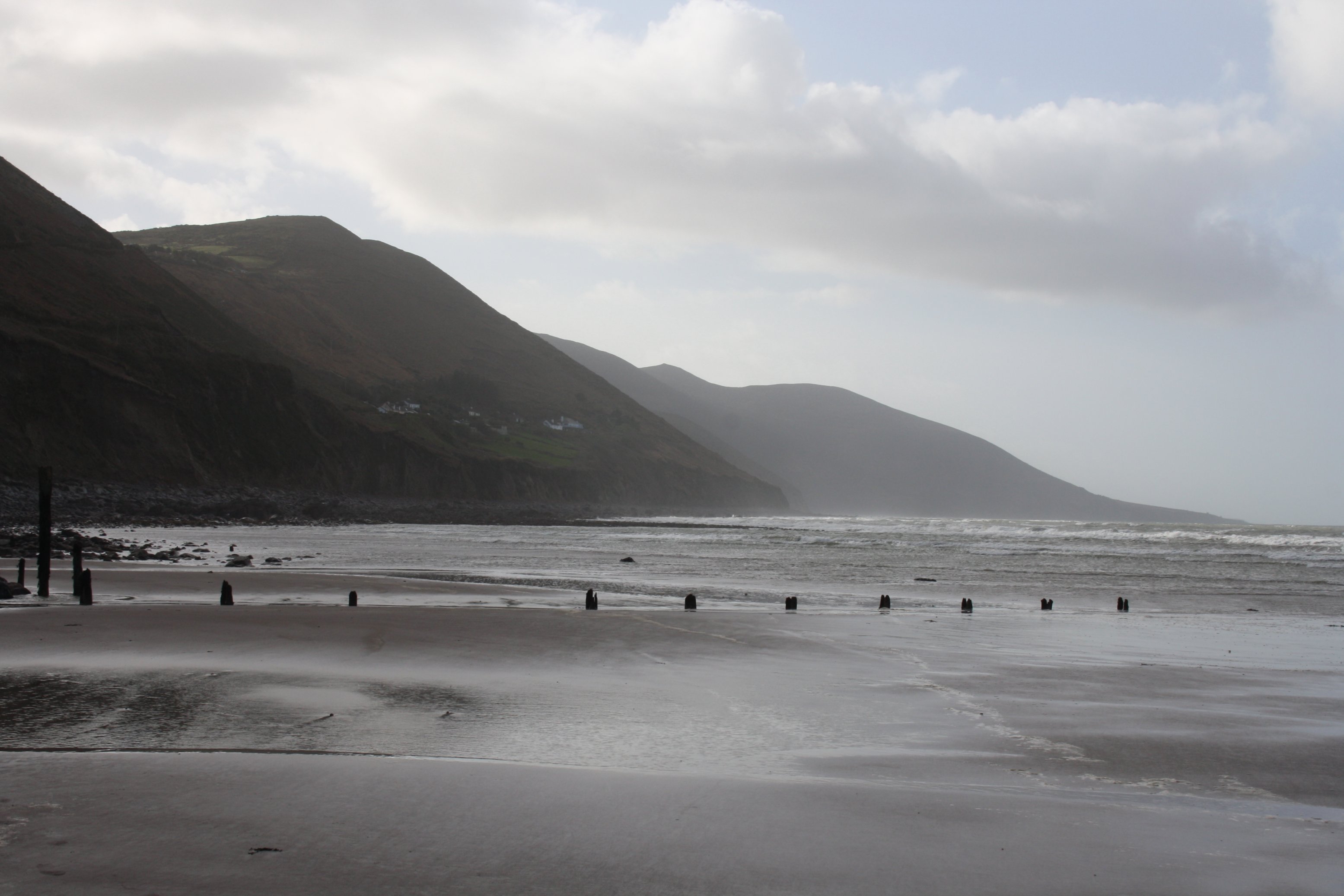
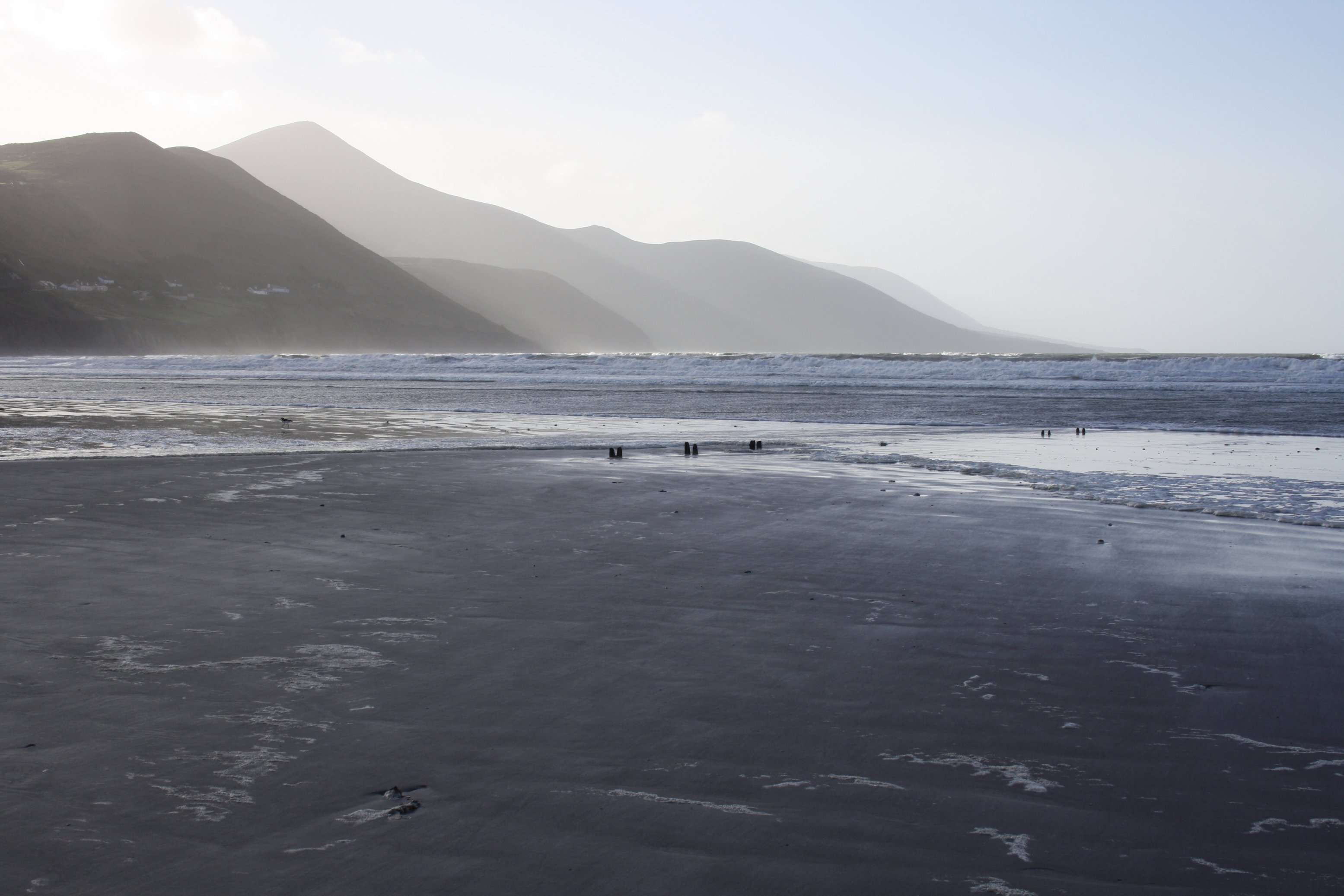
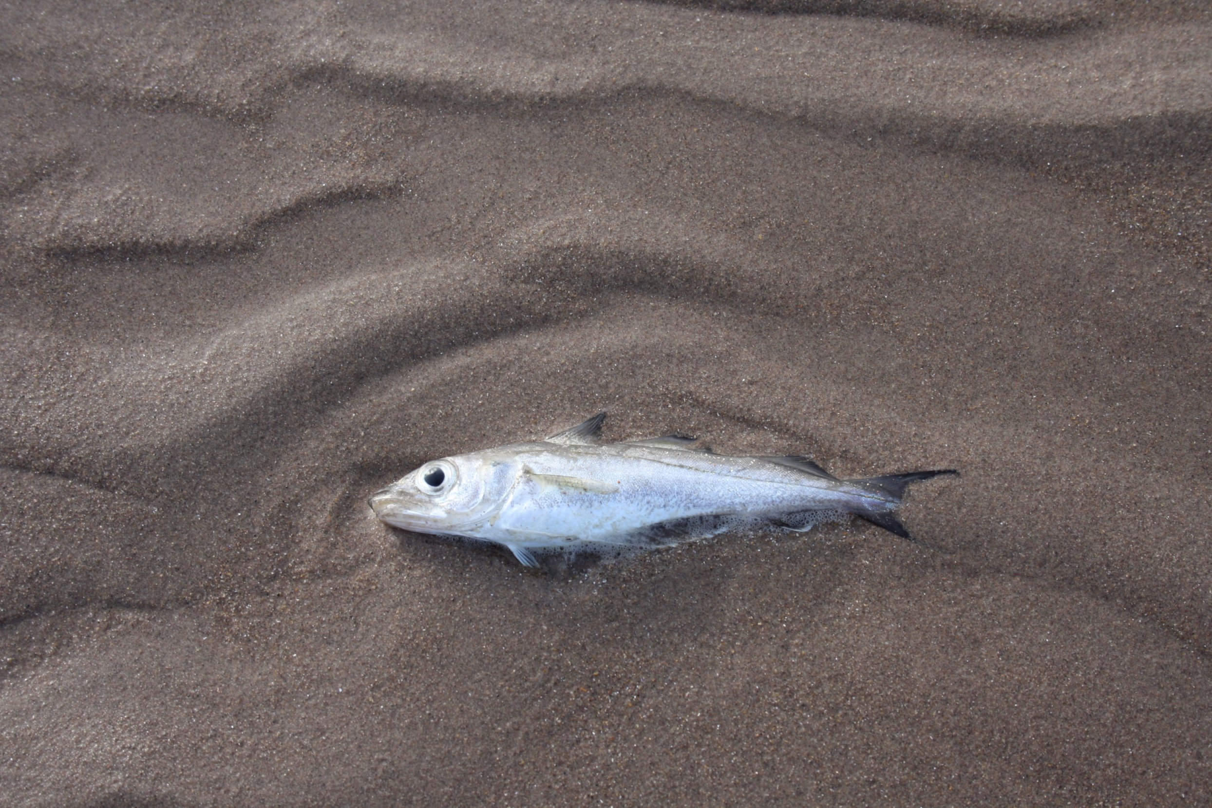
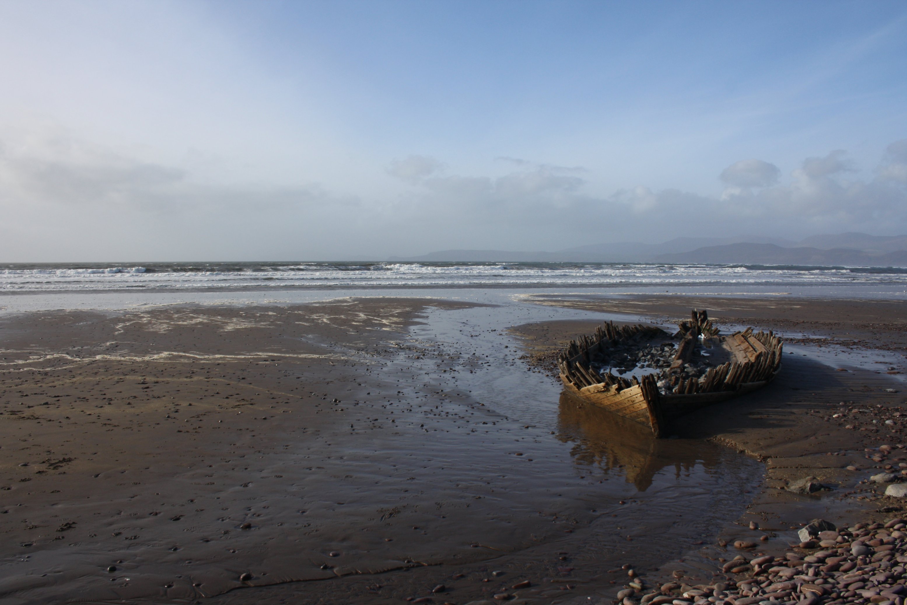
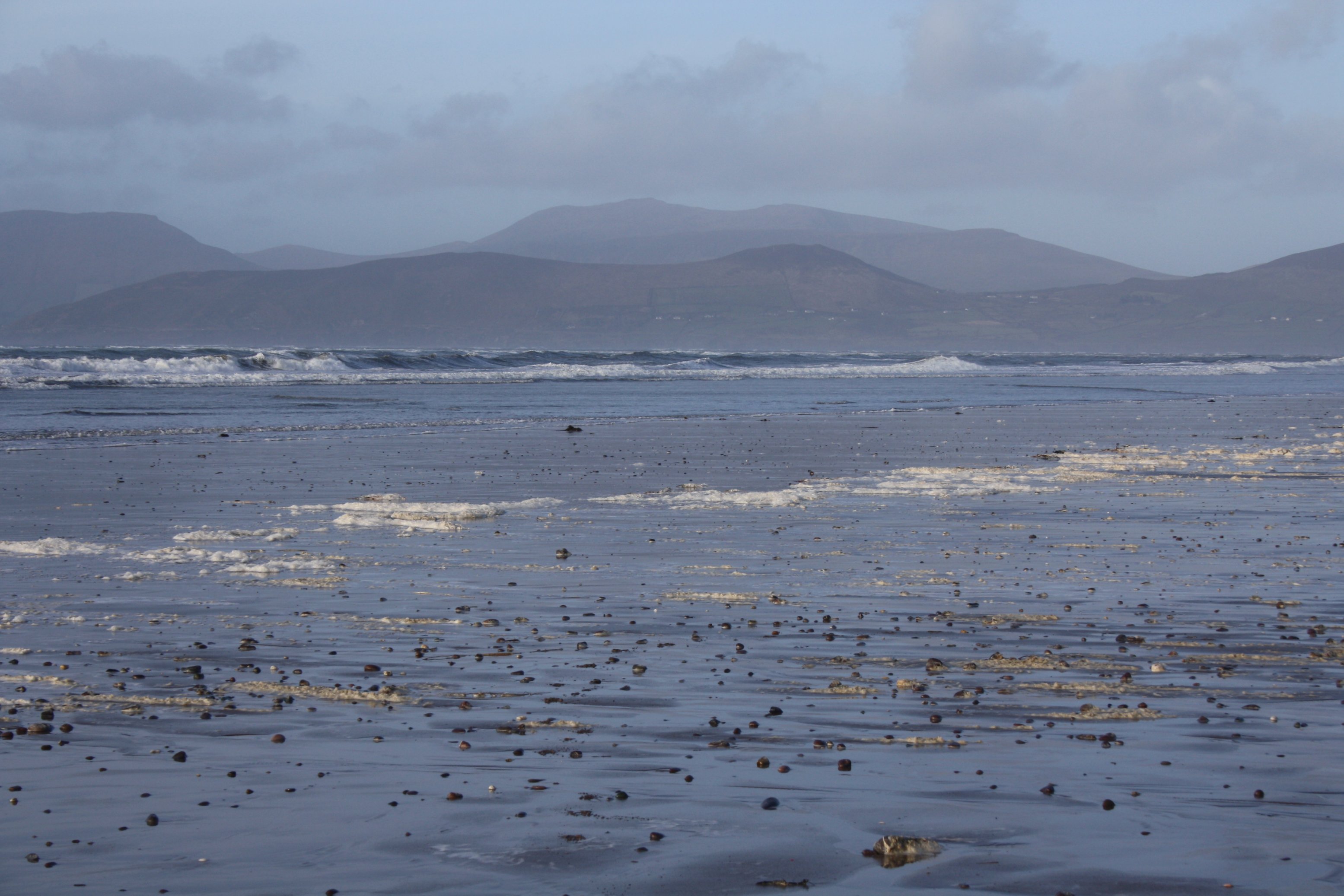
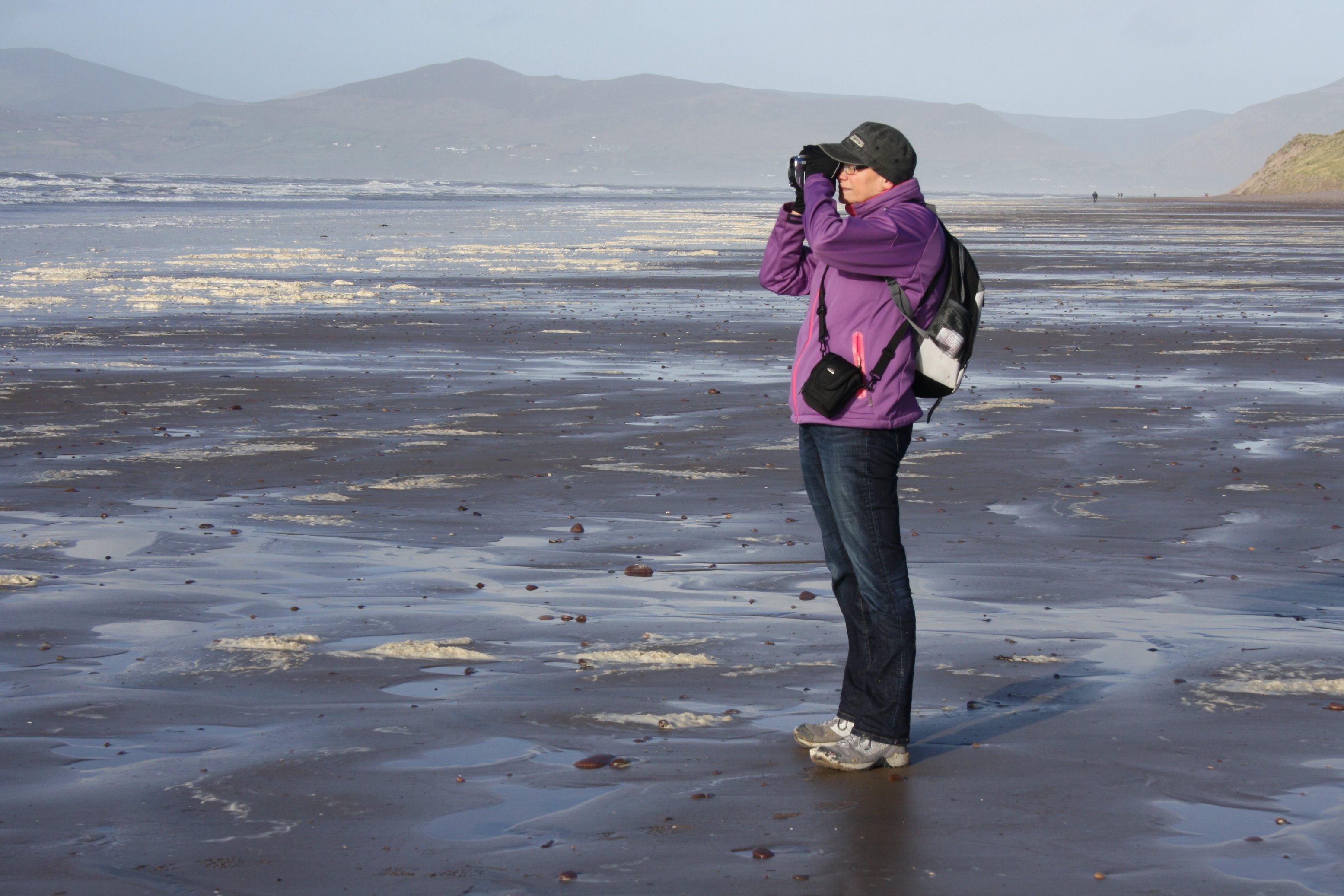
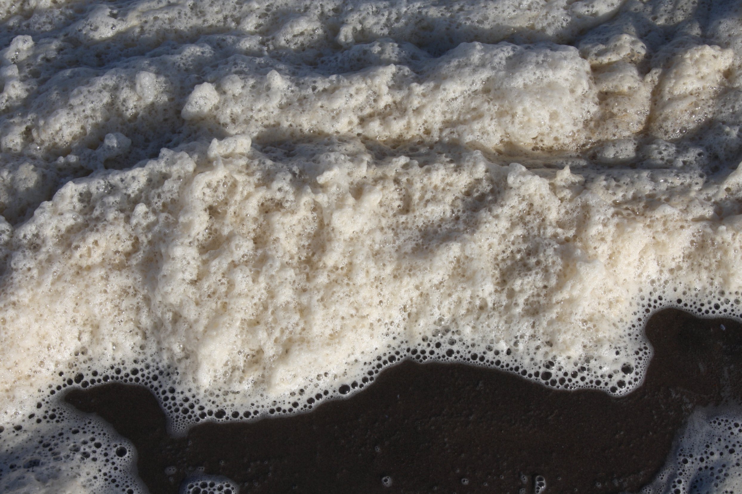
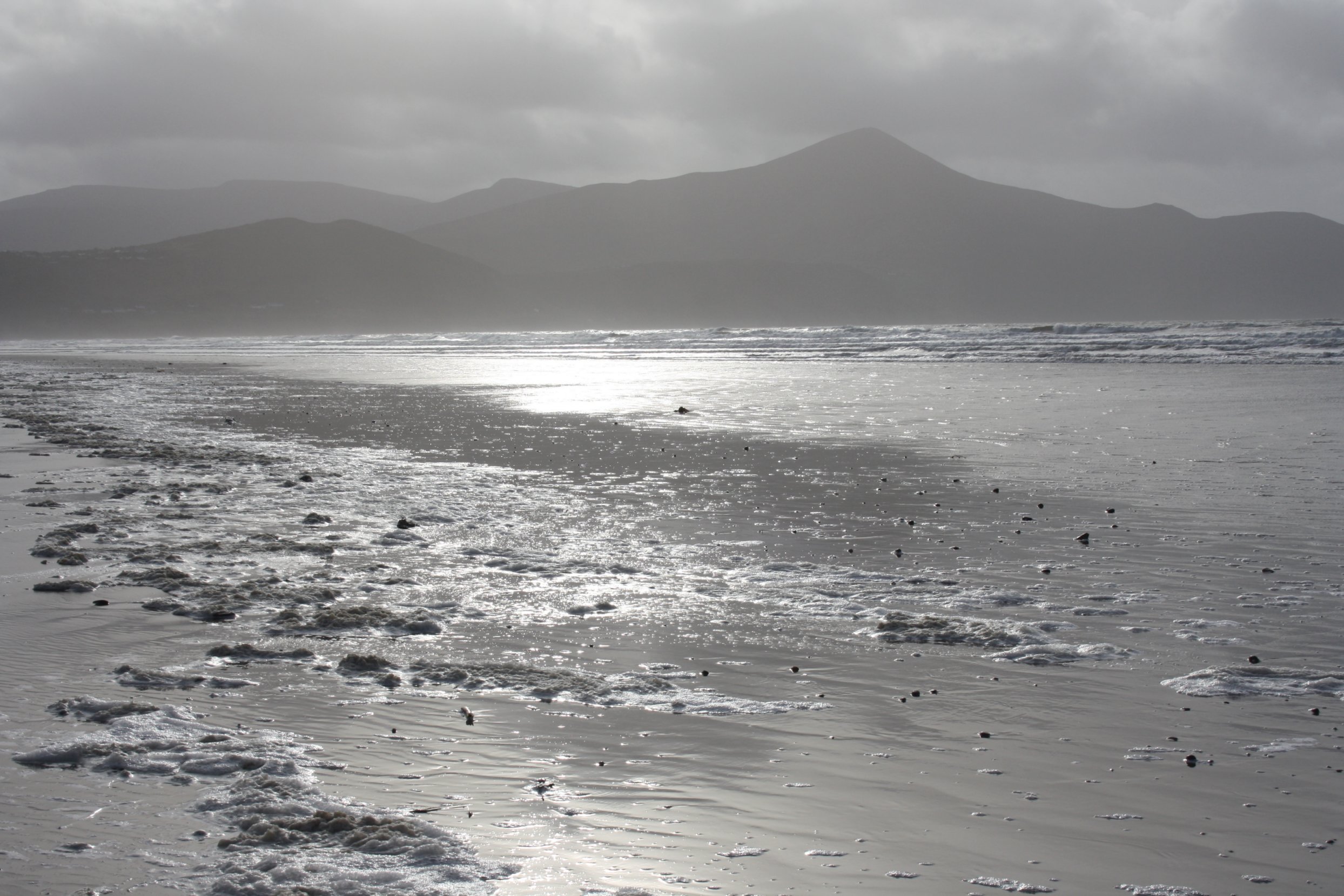
Wednesday 30 January 2013
Today we visited Rossbeigh Beach.
Rossbeigh Beach is along the Atlantic, 2 kilometers from the village of Glenbeigh in county Kerry.
It is situated about 70 kilometers from our hometown Kenmare.
(see map on first photo)
Earlier this week galeforce winds caused quite some damage here.
The parking area was scattered with stones and all sorts of other debris.
Dunes had suffered severely as well and next to dead fish we even found a drowned sheep.
Today there was only a strong westerly breeze.