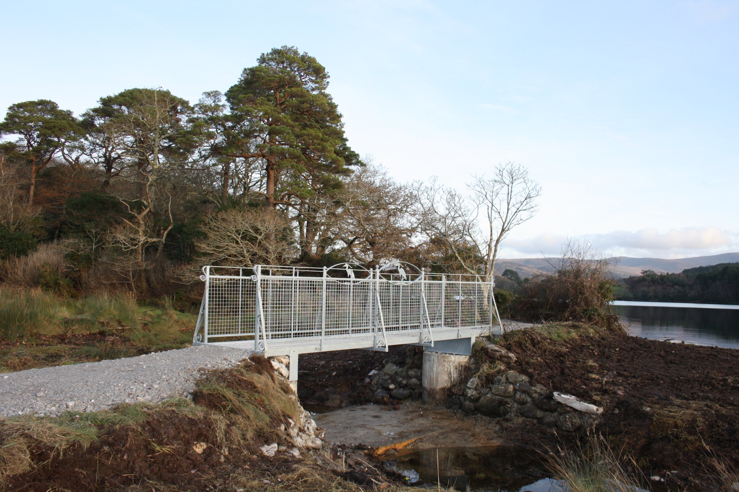
D e c e m b e r 2 0 1 2
M e e t i n g o f t h e W a t e r s
Wednesday 5 December 2012
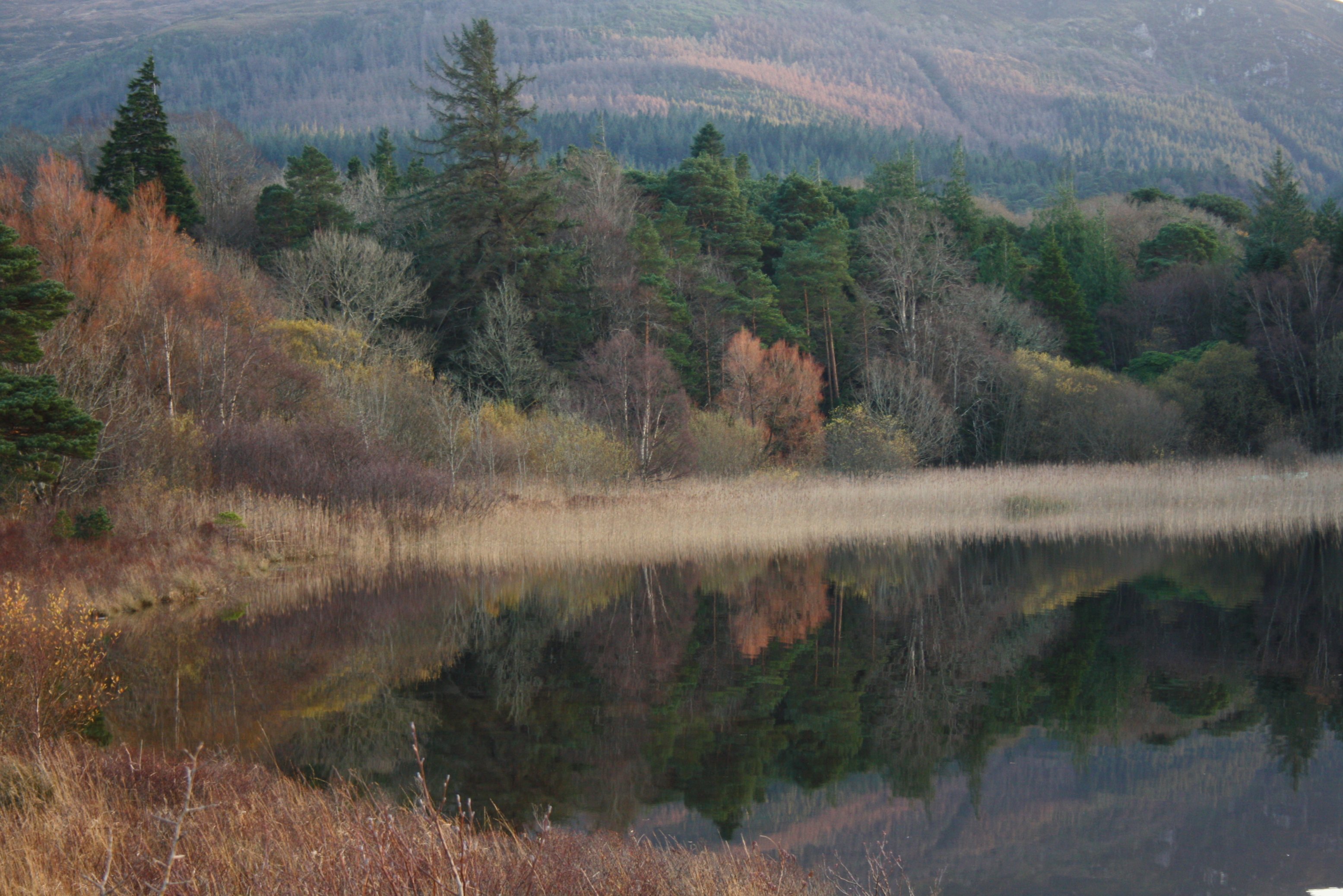
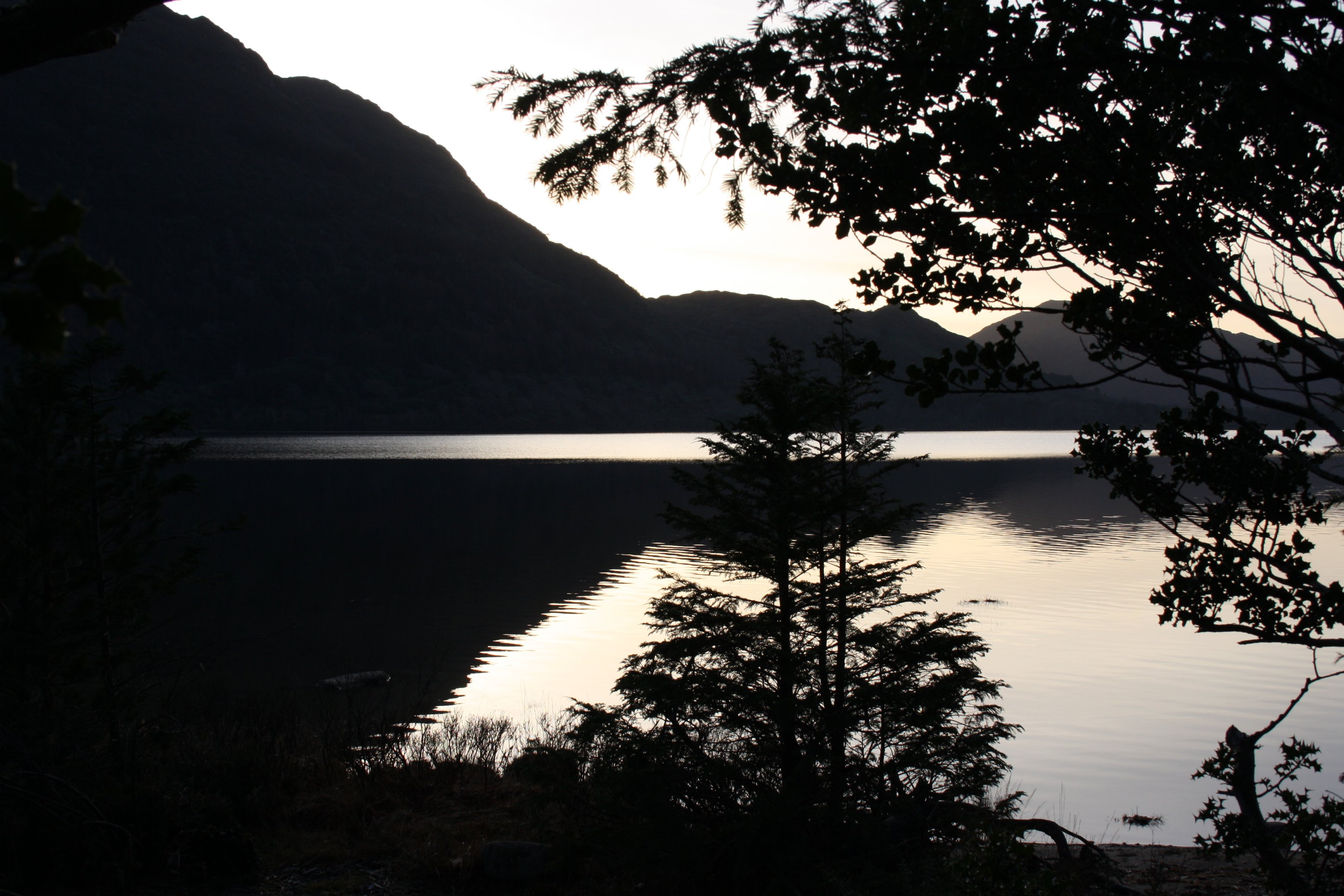
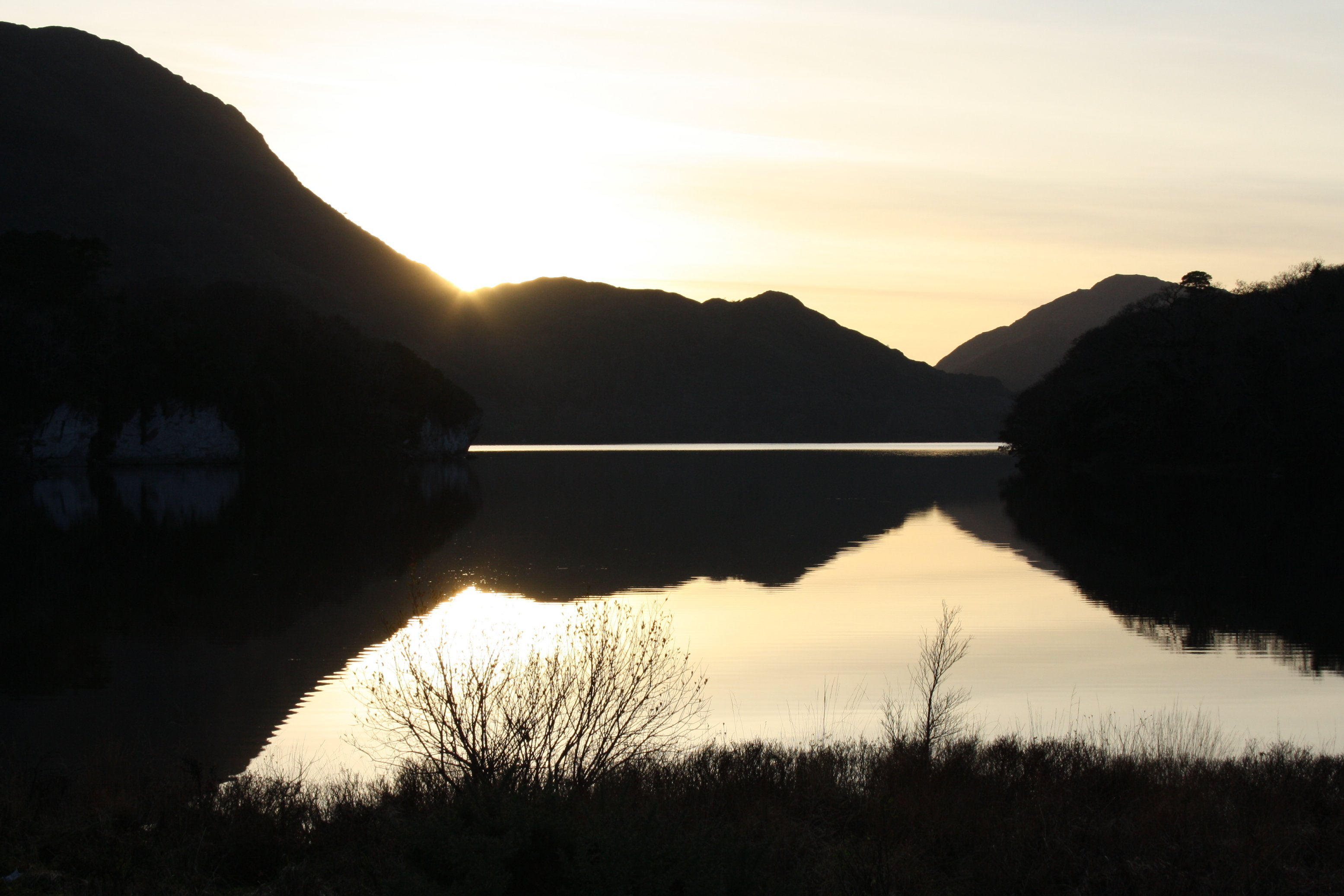
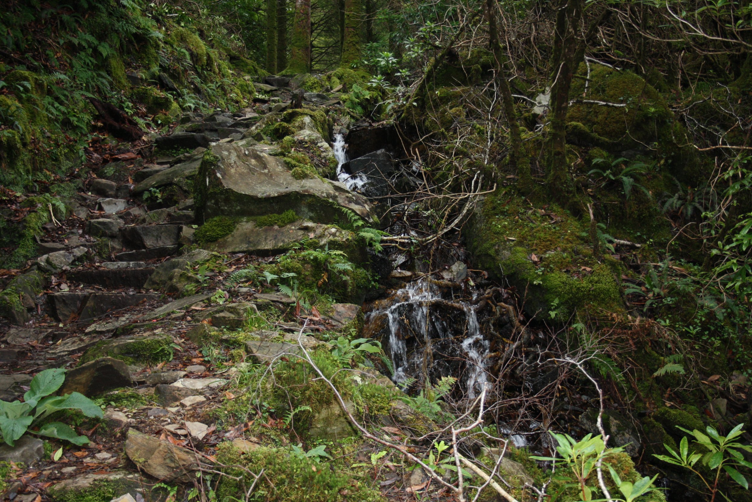
Photos of a walk around the lakes near the town of Killarney.
The name "Meeting of the Waters" relates to the connection between 2 lakes half way this walk.
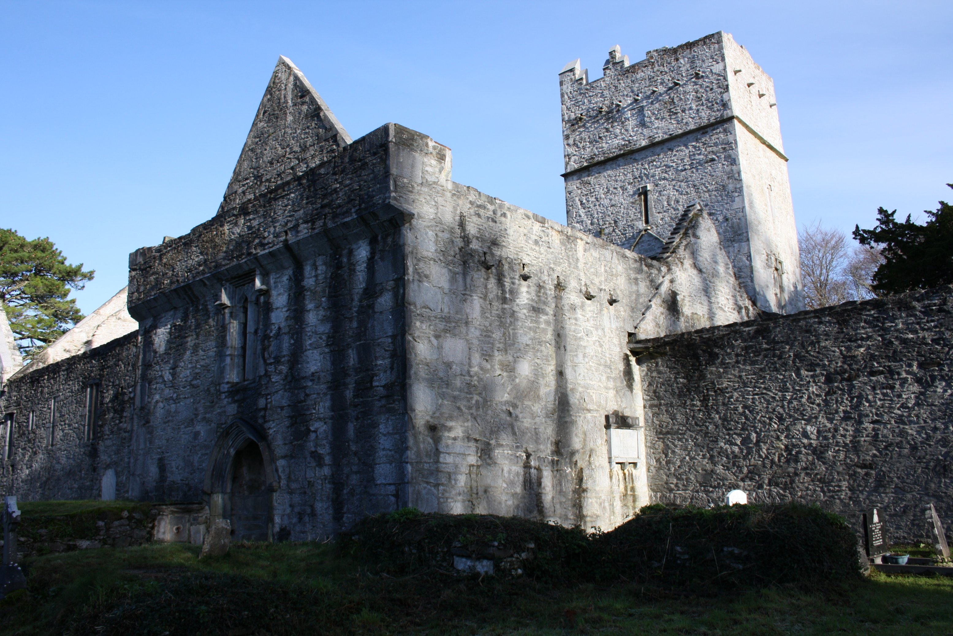
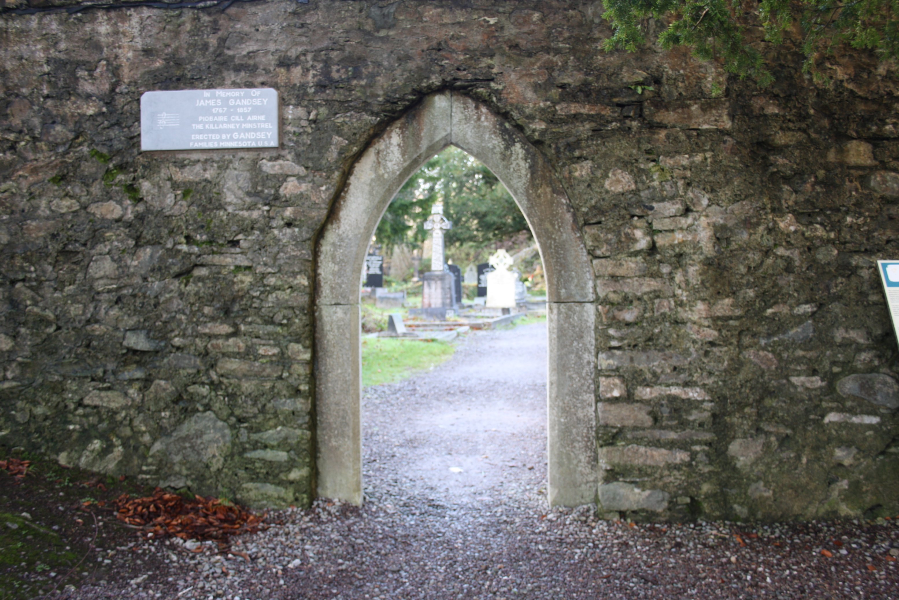
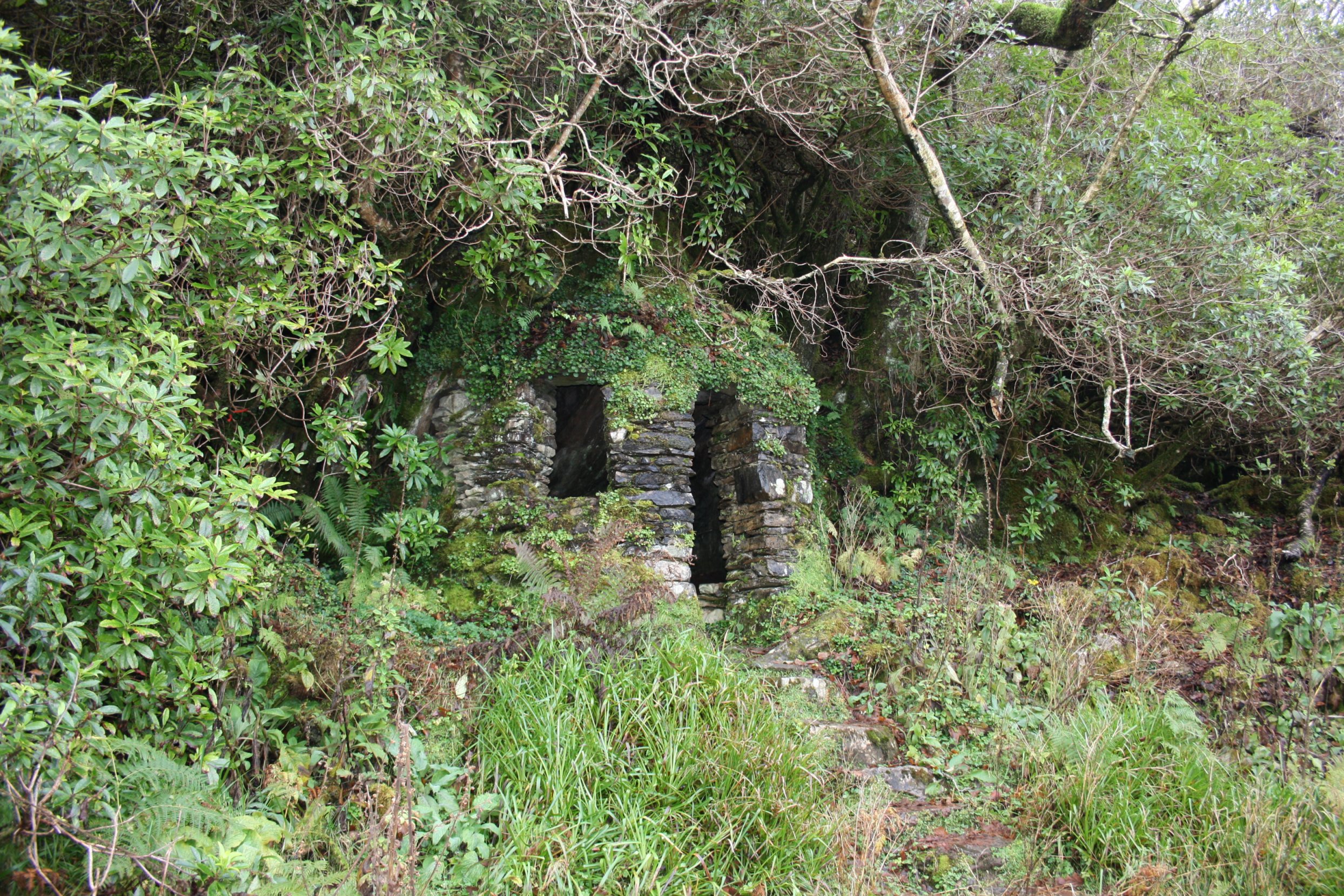
The start of this walk brings you to the ruins of Muckross Abbey,
which was founded as a Franciscan friary in 1448.
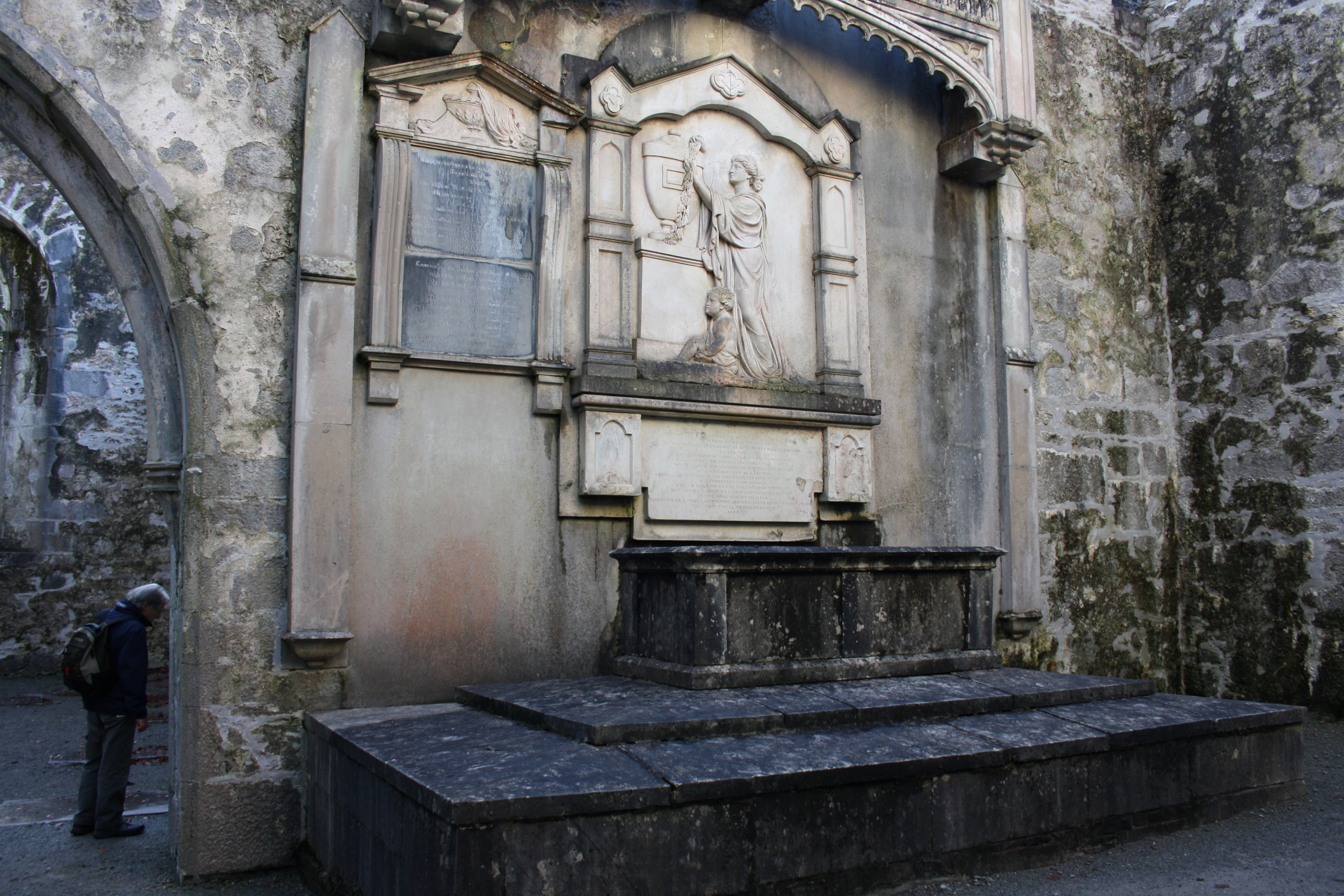
It has had a violent history and has been damaged and reconstructed many times.
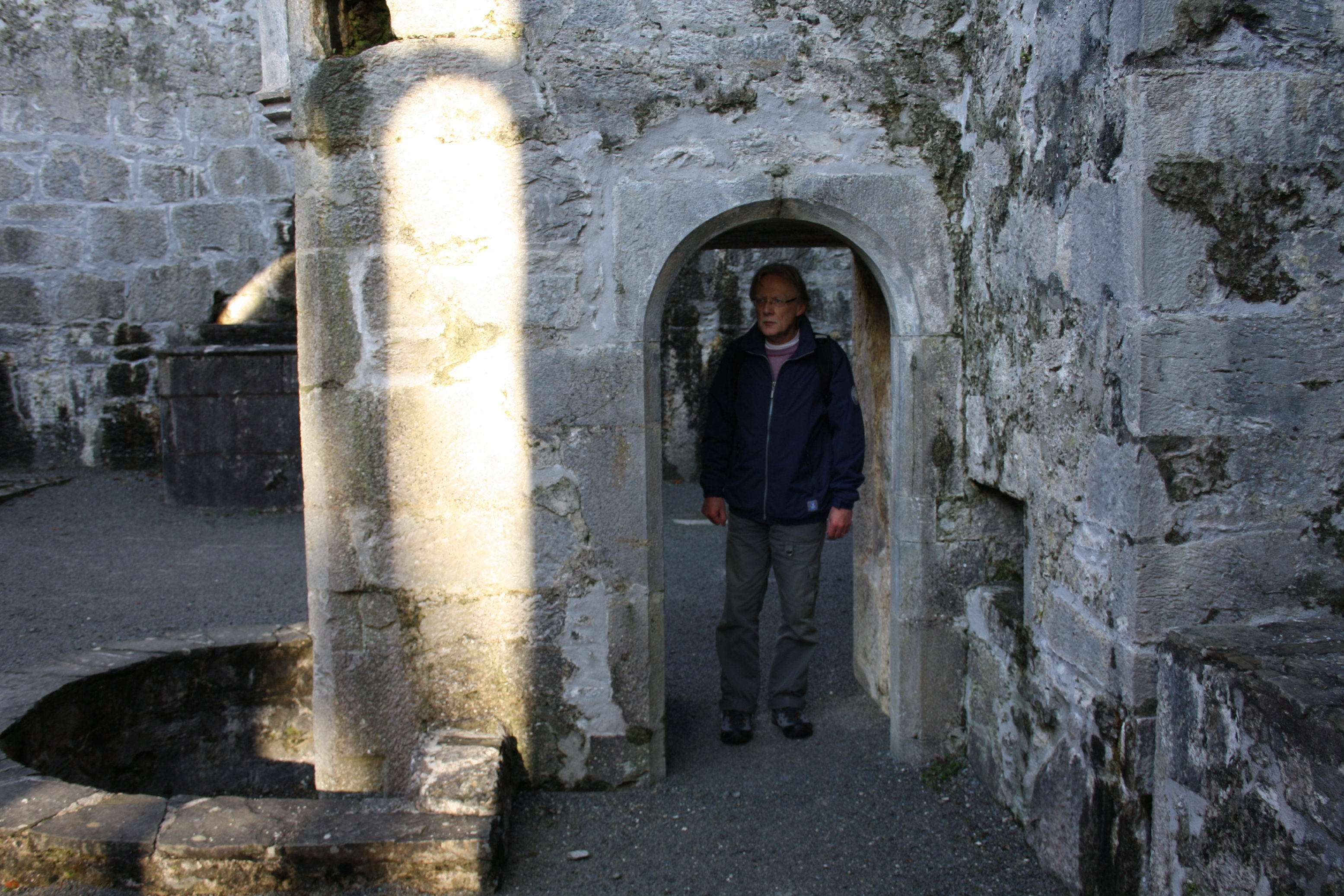
Today the abbey is largely roofless although, apart from this, is generally quite well preserved.
Its most striking feature is a central courtyard, which contains a large yew tree and is surrounded by a vaulted cloister.
The actual Meeting of the Waters-spot is an old bridge across the 2 there connecting lakes.
This walk has a total distance of about 15 kilometers.
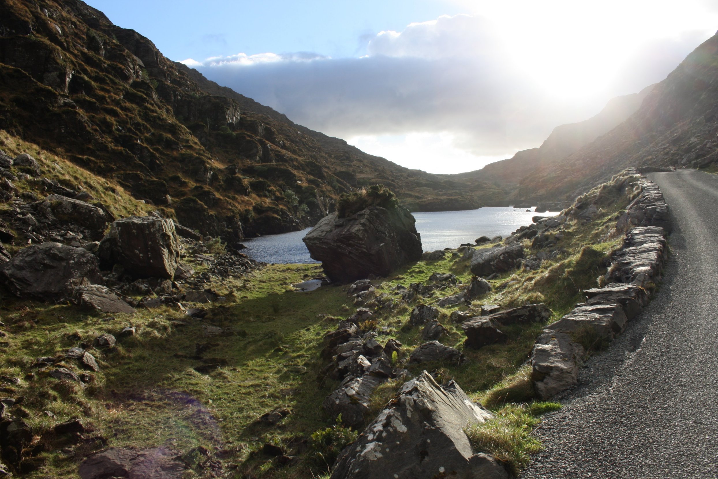
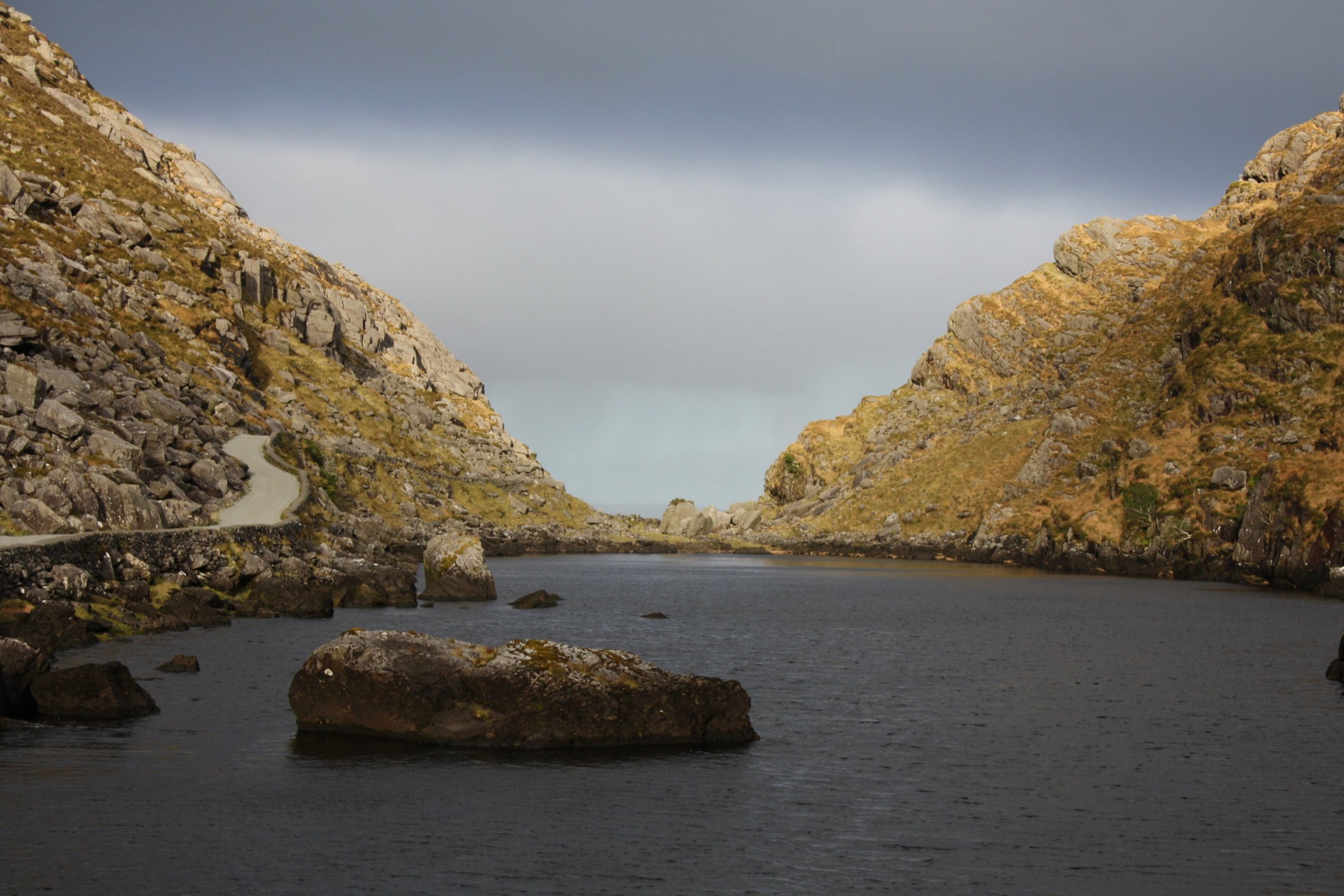
G a p o f D u n l o e
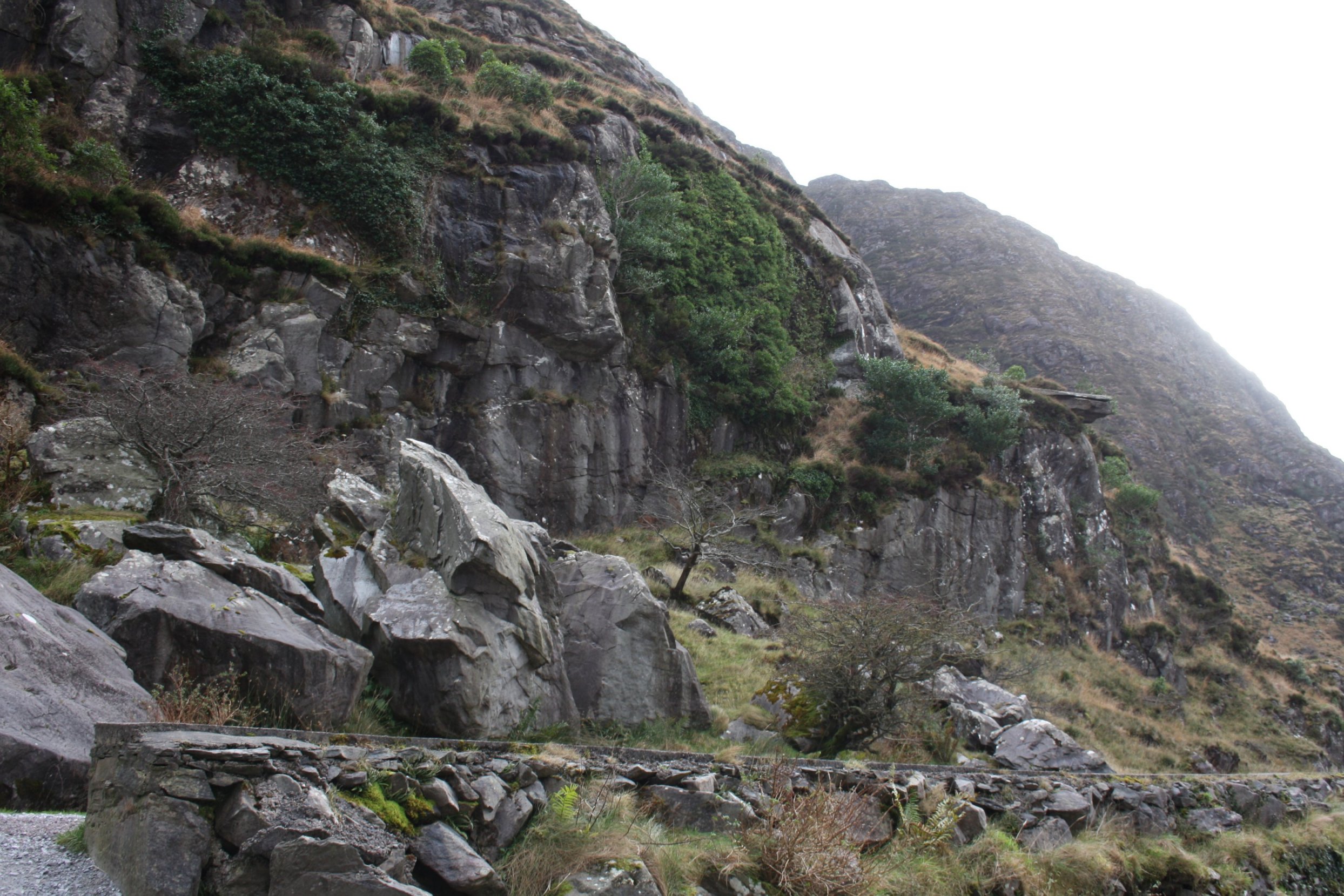
Friday 7 December 2012
Photos of our walk through the Gap.
The Gap of Dunloe (Irish: Bearna an Choimín) is a narrow pass between Macgillycuddy's Reeks and the Purple Mountains near Killarney, Ireland.
It begins at Kate Kearney's Cottage and ends with a descent into The Black Valley, a distance of approximately 11 km (7 miles).
Five small lakes are passed: Coosaun Lough, Black Lake, Cushnavally Lake, Auger Lake, and Black Lough; in turn, these lakes are connected by the River Loe from which the gap gets its name.
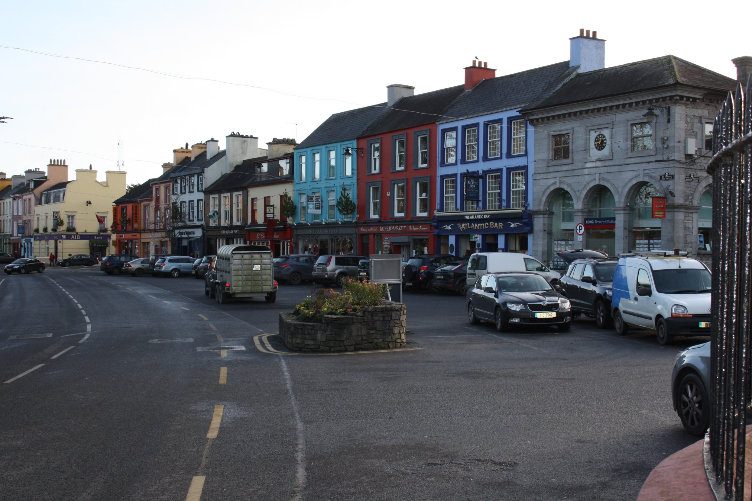
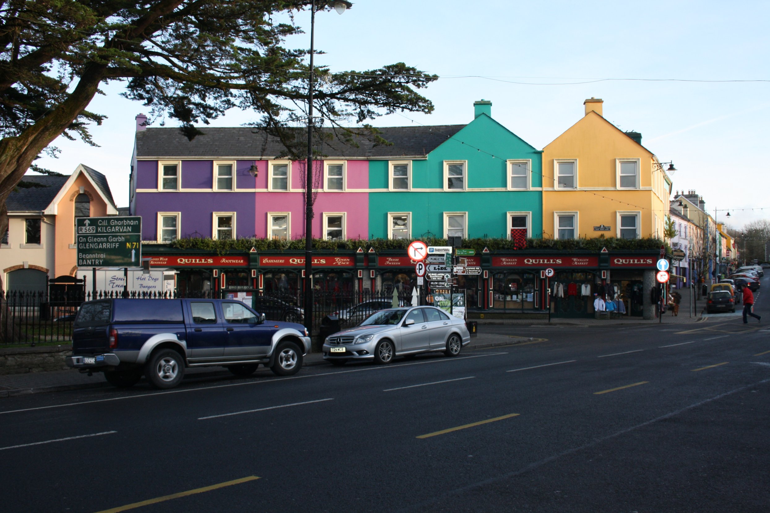
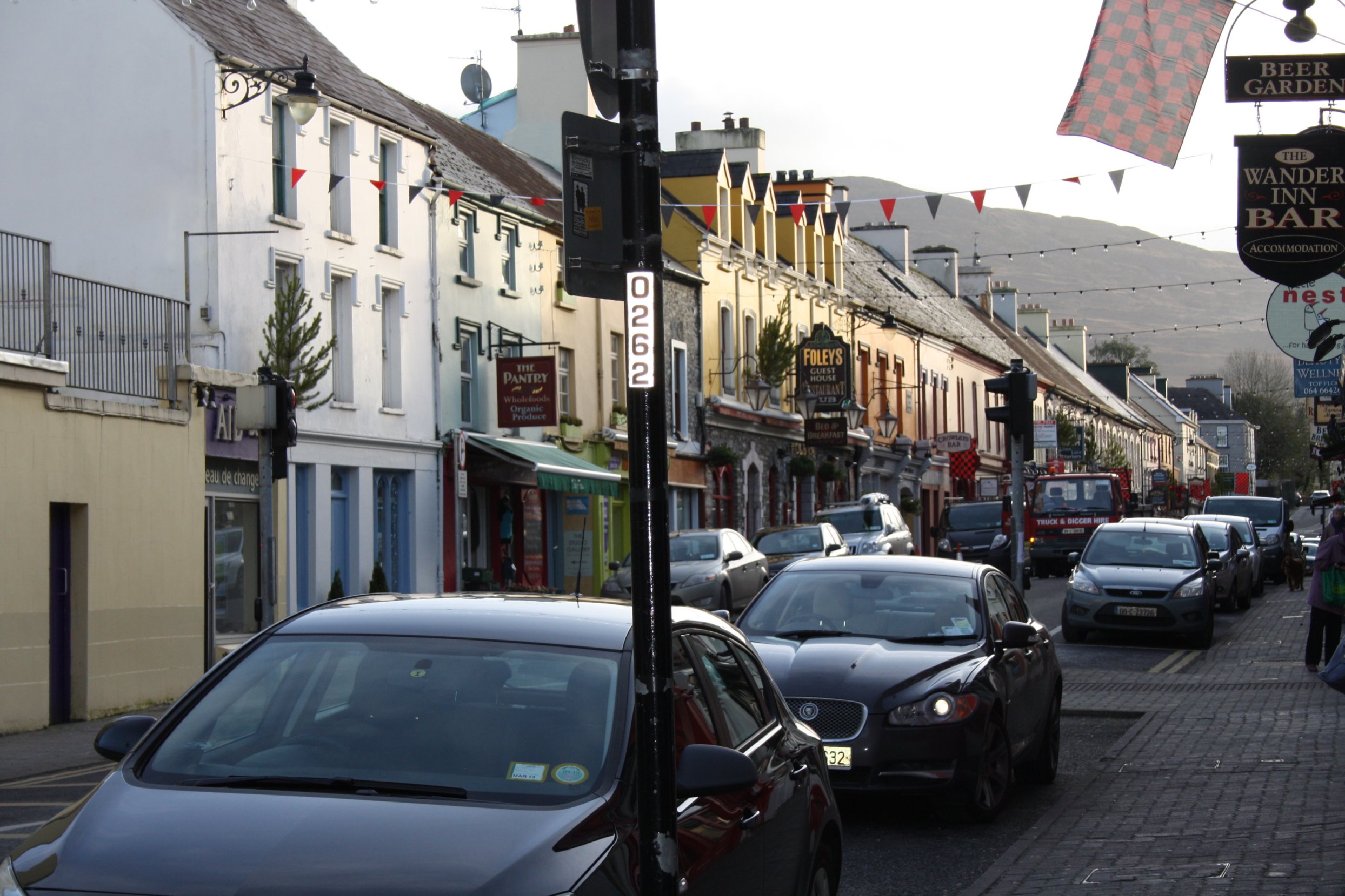
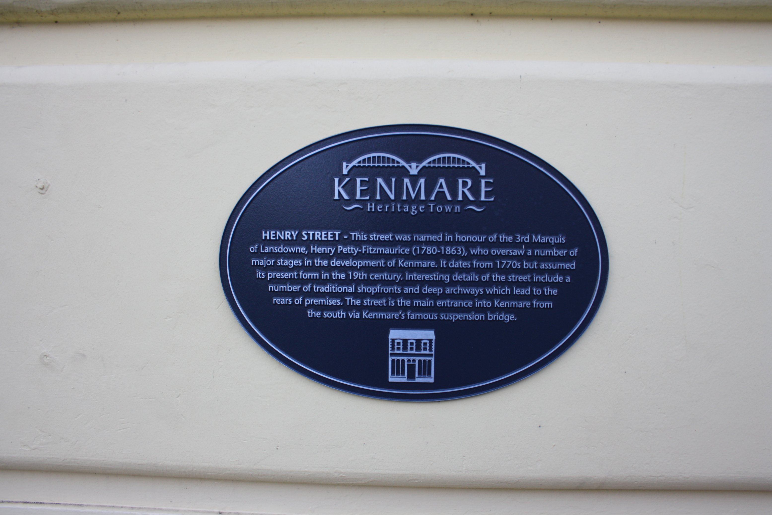
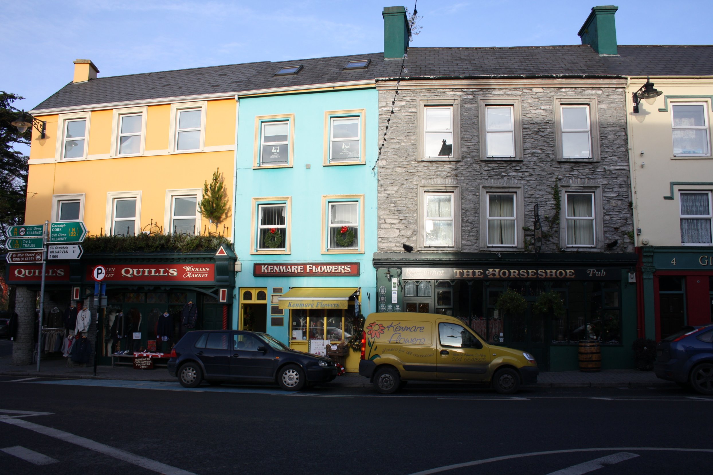
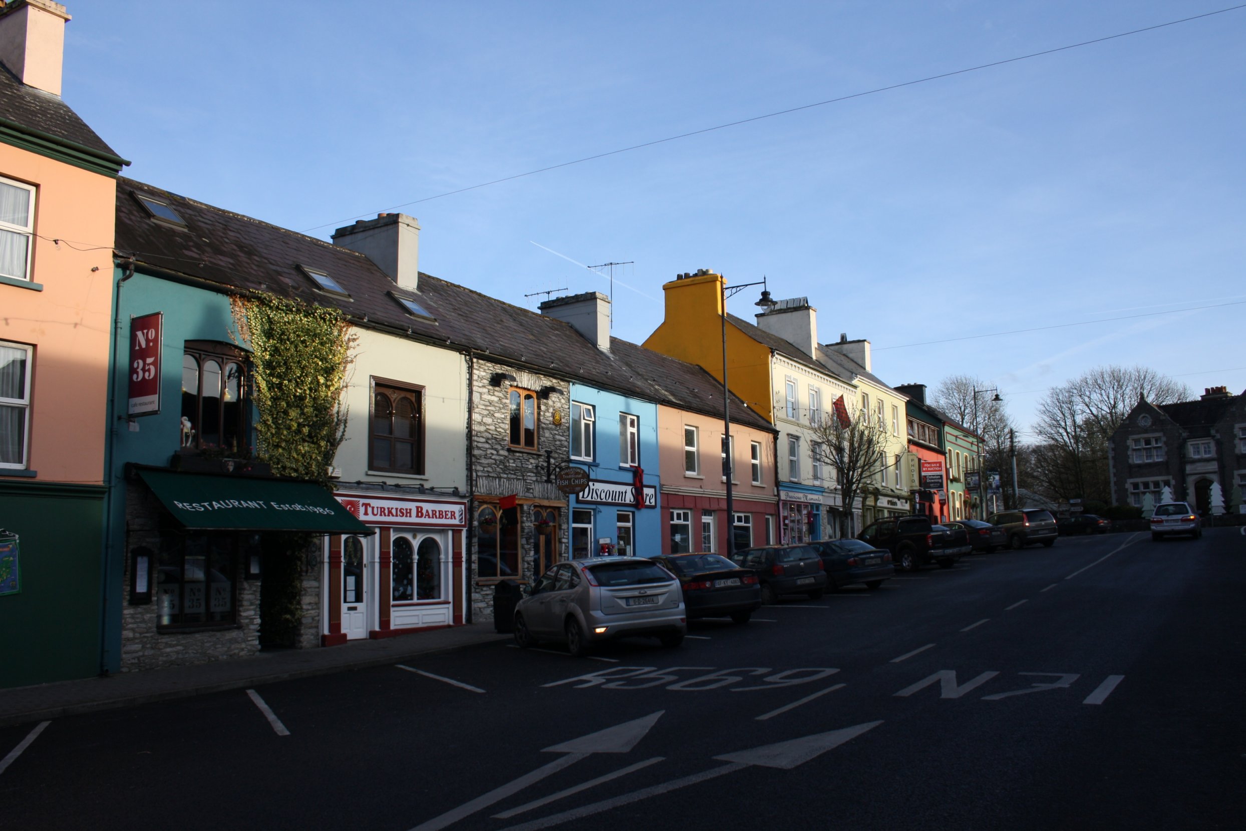
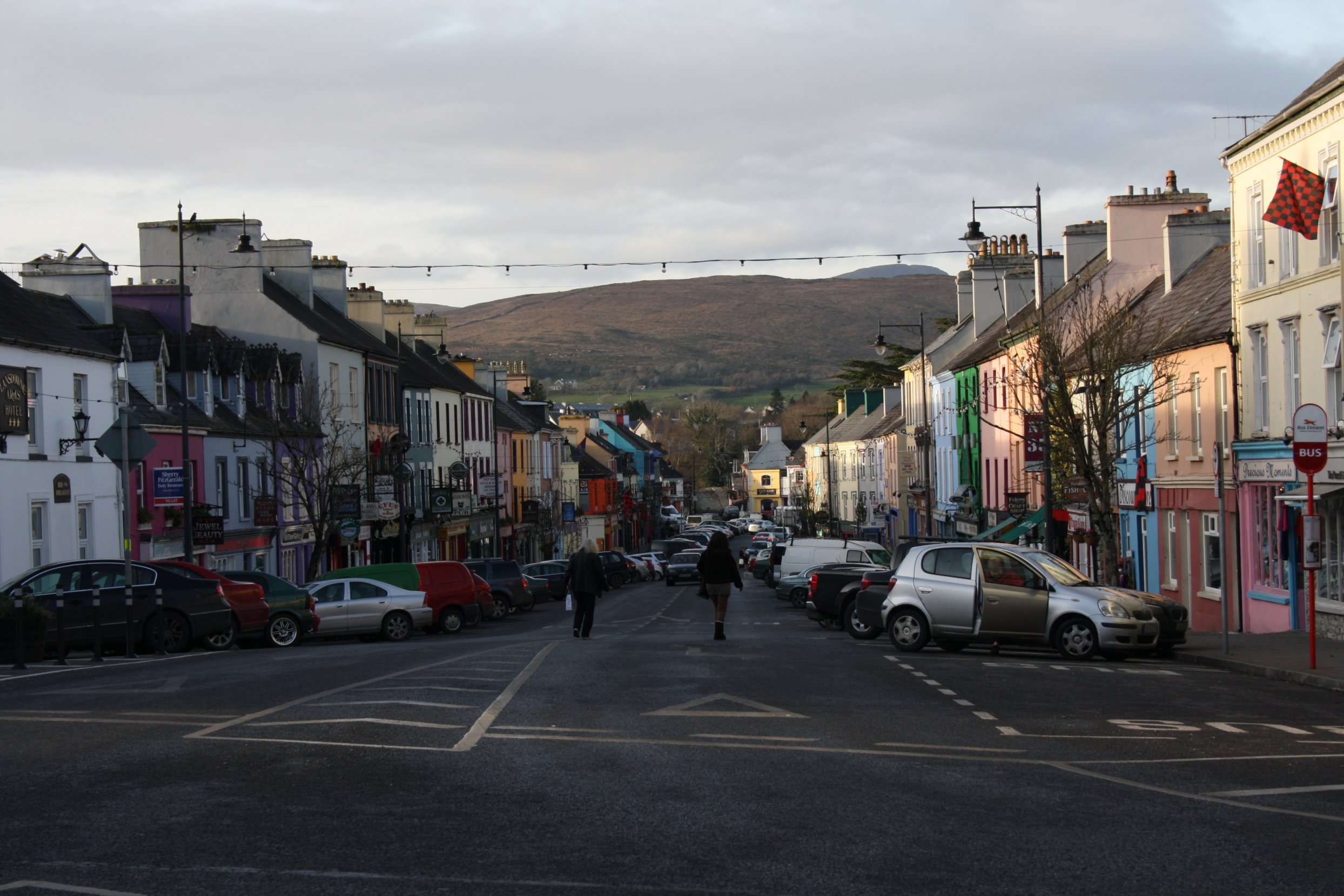
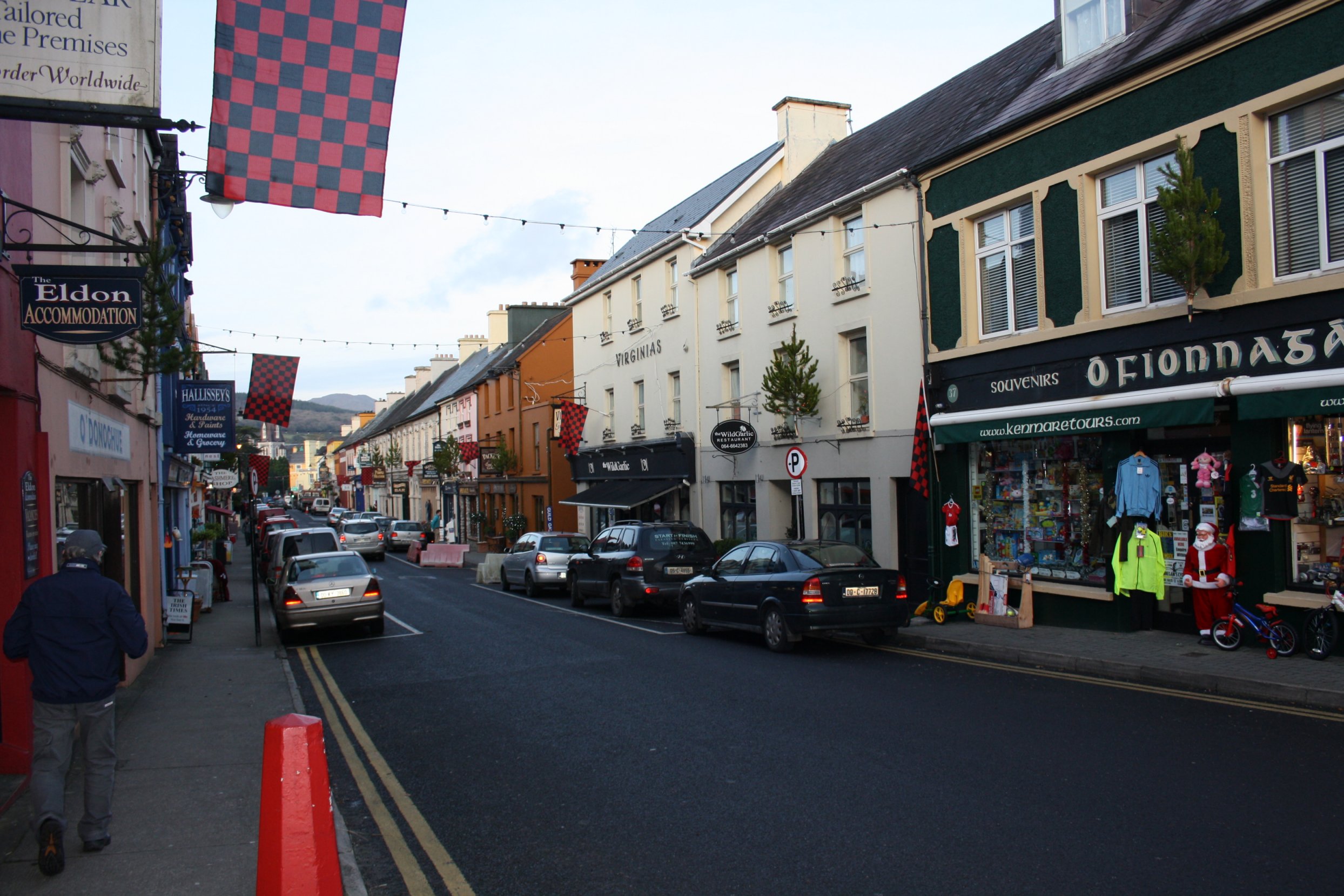
A l i t t l e w a l k a r o u n d K e n m a r e
Monday 10 December 2012
Photos of a little walk around Kenmare Town, co. Kerry, on a sunny afternoon.
Within minutes after leaving our house, we reach the Square.
This square is used for all sorts of festivities (Halloween, the Santa Claus parade).
Every Wednesday there's the regular market here.
Then there are cattle markets now and then, in particular for sheep and poultry.
Opposite this square is the Station Road leading to the catholic church and the shopping centre.
(Till the sixties of the previous century Kenmare was connected to the rail network).
Also on the Station Road are some rather large technical schools.
At the other side of the Square starts the Main Road with exits to both Killarney/Cork and the Beara Peninsula.
This Main Road comes out on Shelbourne Street.
Here you find among other things the theatre annex library, the Kenmare Bookshop, the Gardai station and a couple of restaurants and B&B's.
From here you can walk around the golf course, the park and the pier to end up in Henry Street again.
The red-black flags on some photos are to celebrate the Kenmare youth Irish football team that won the Munster final yesterday (Sun. 9 Dec 2012).
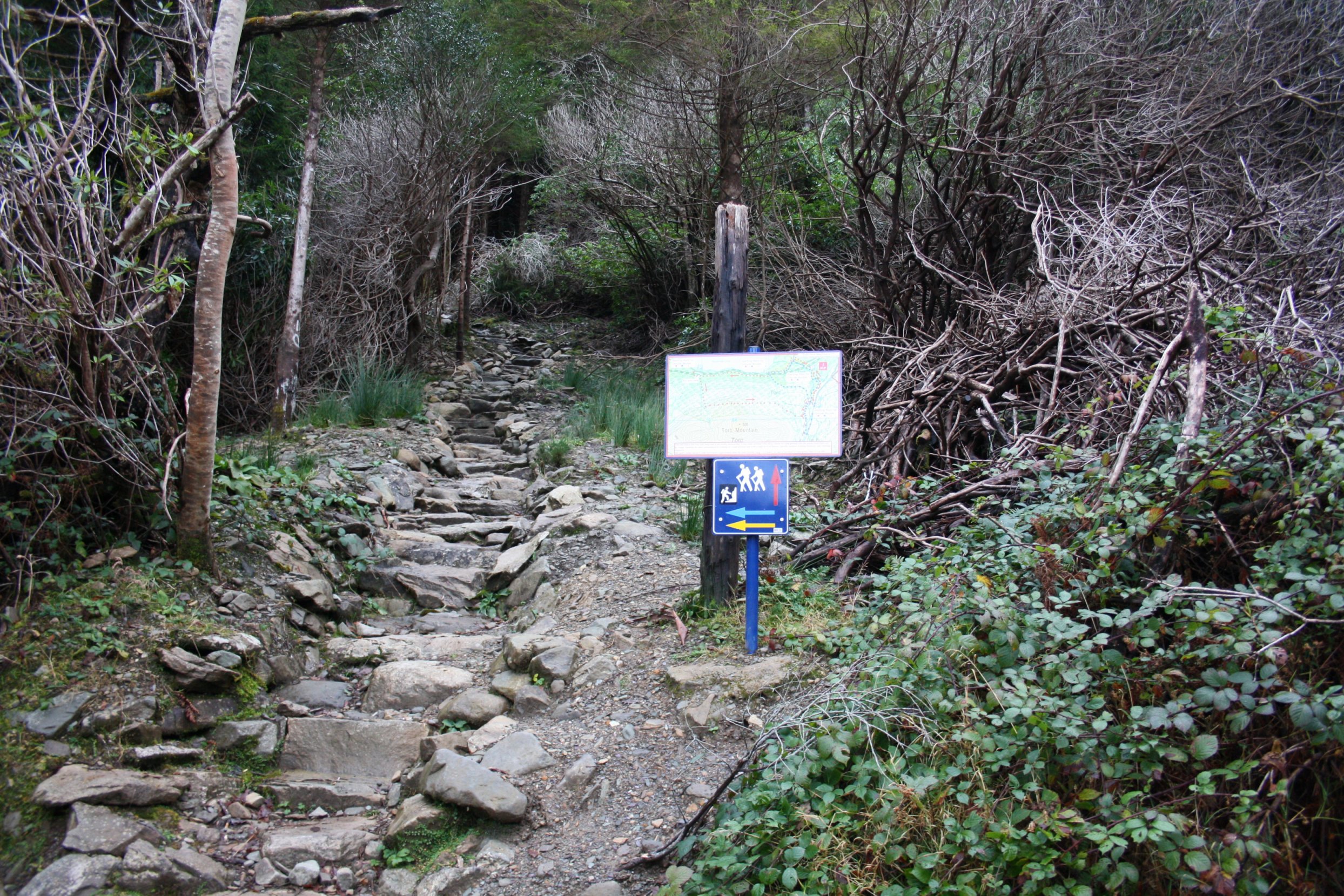
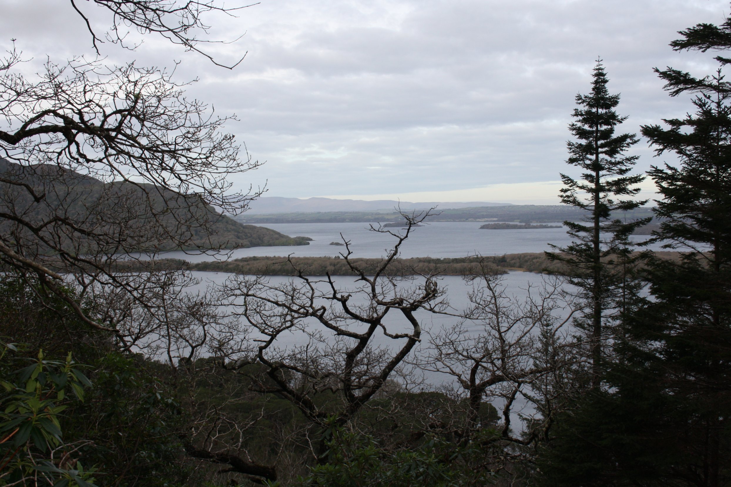
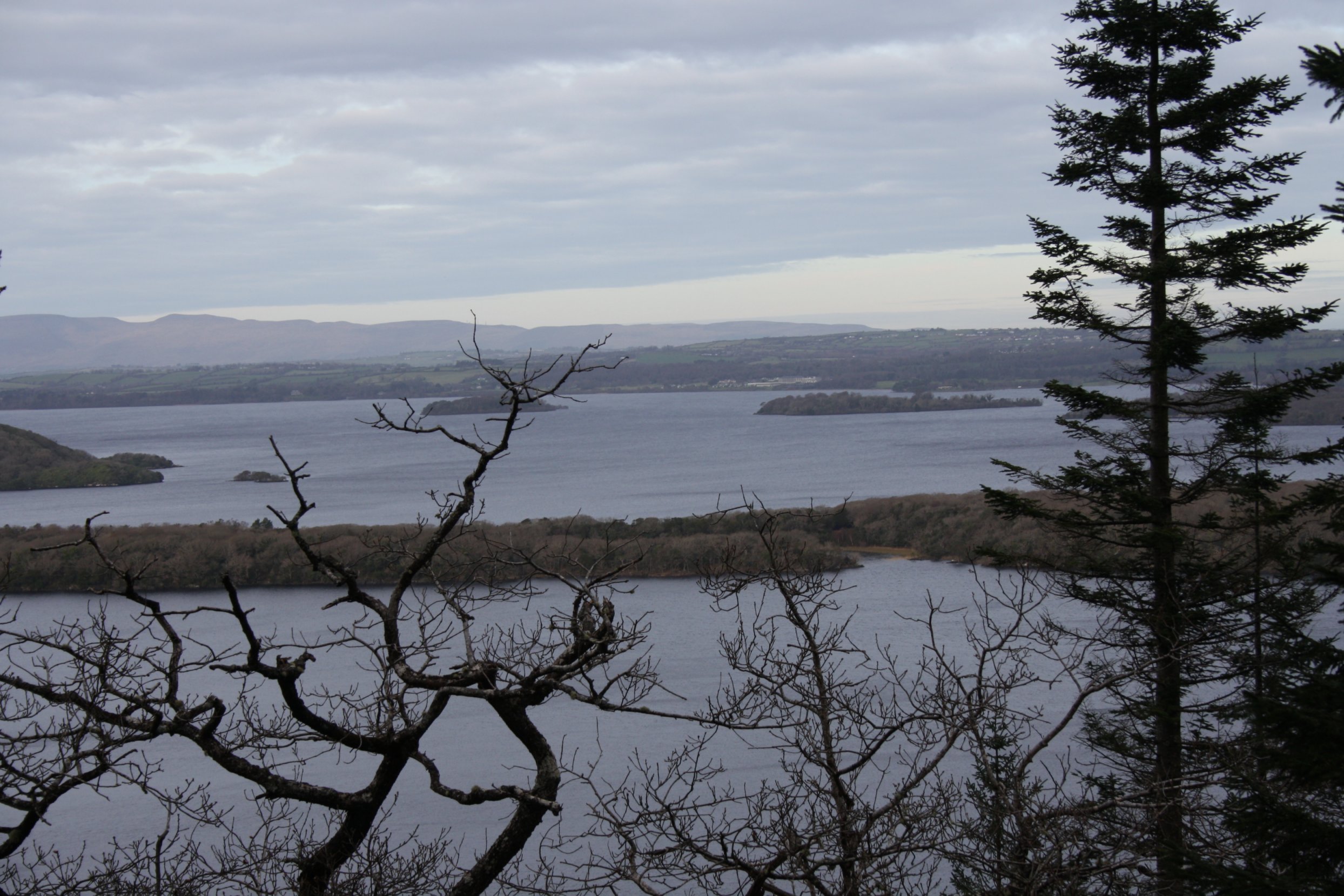
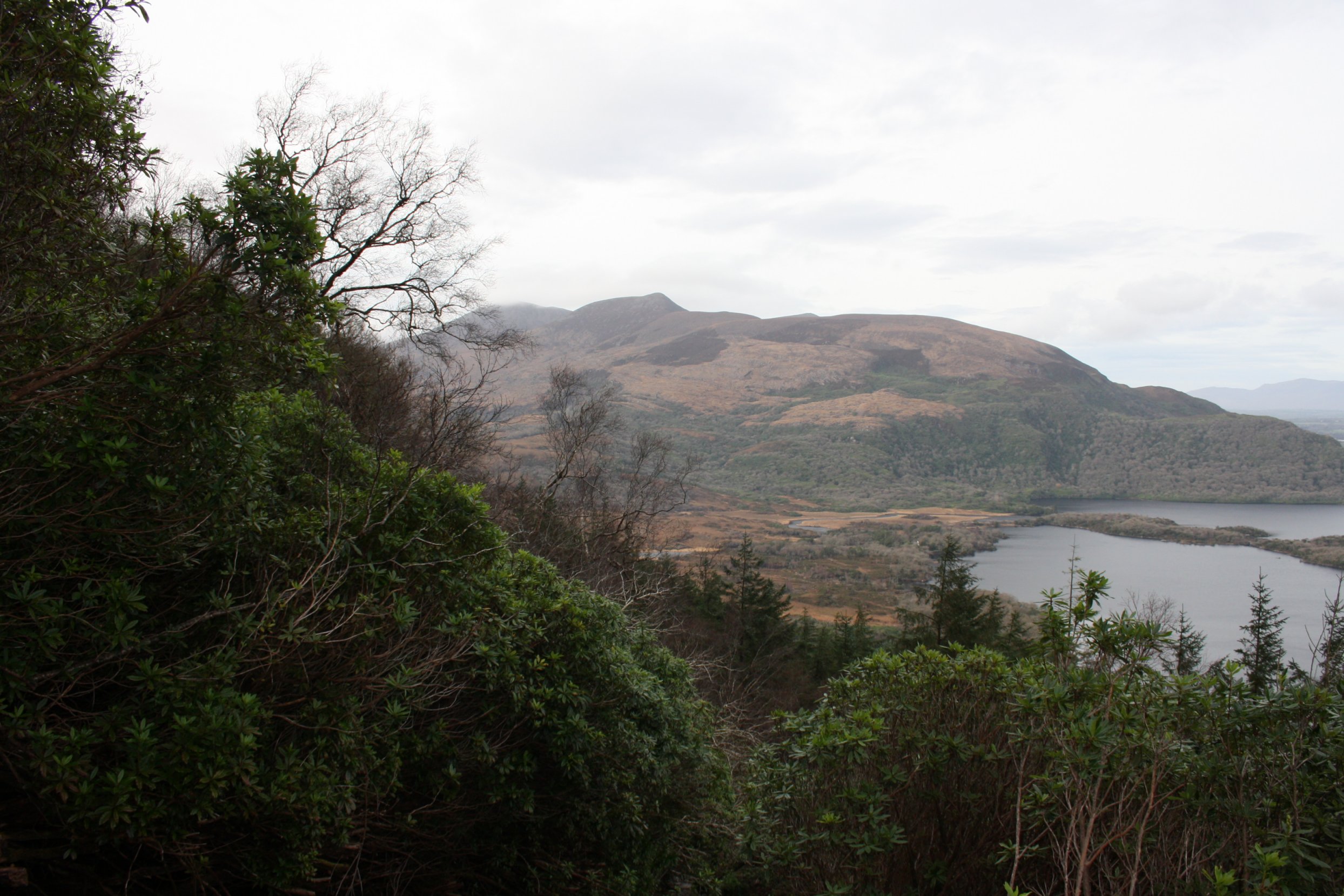
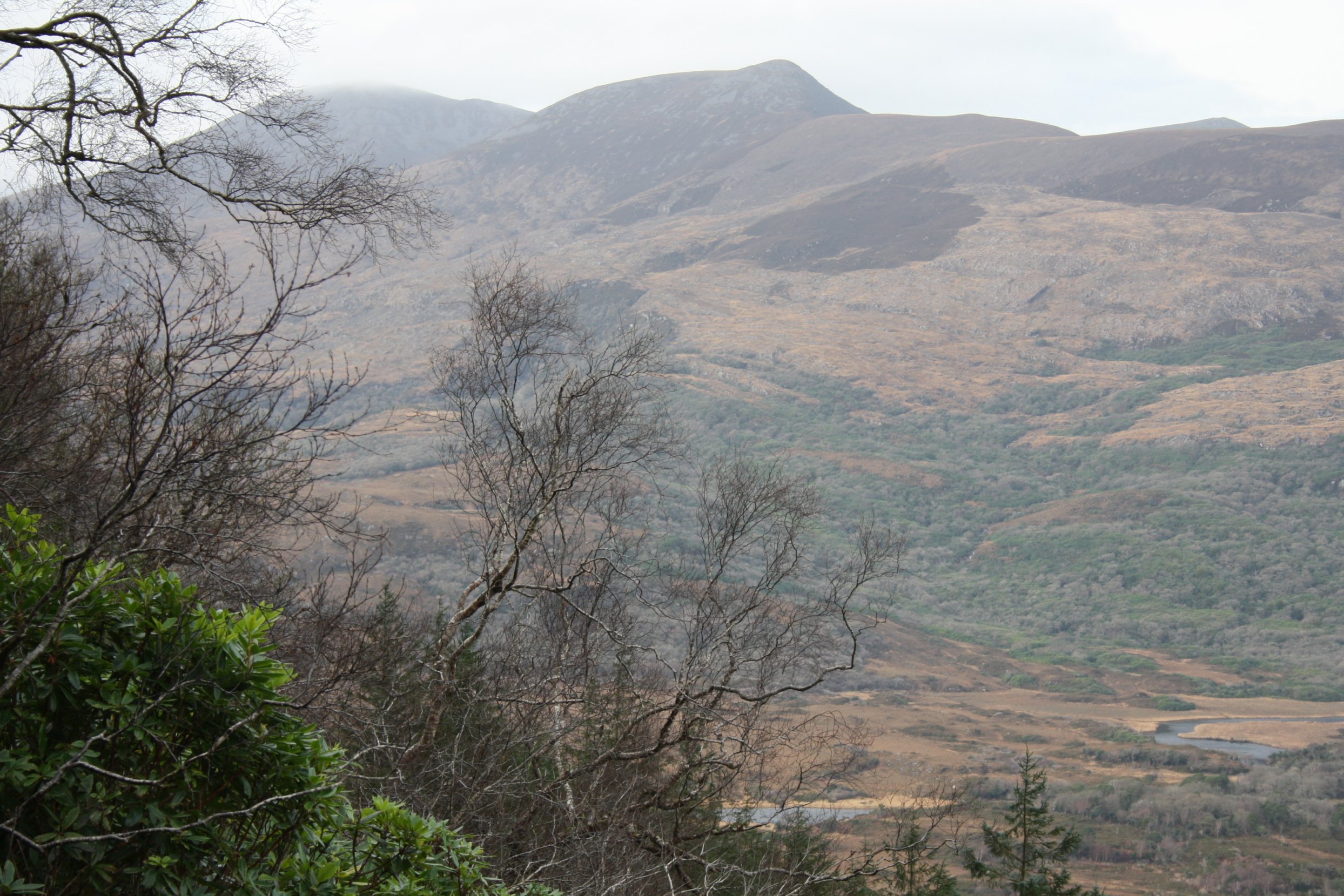
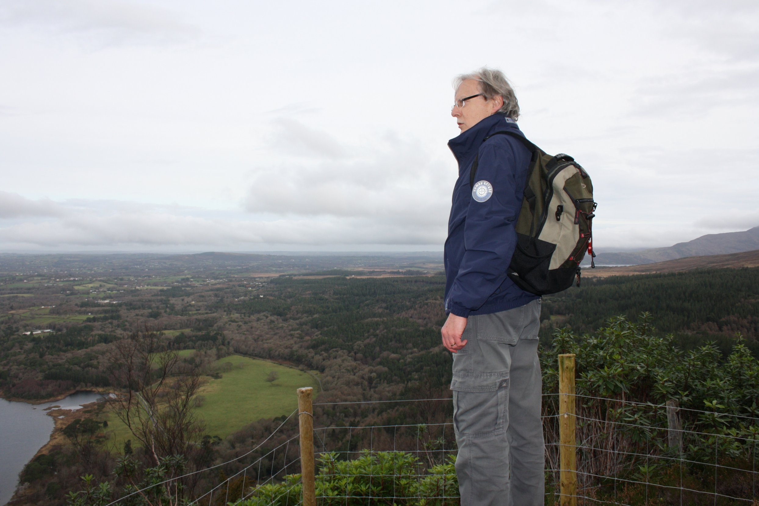
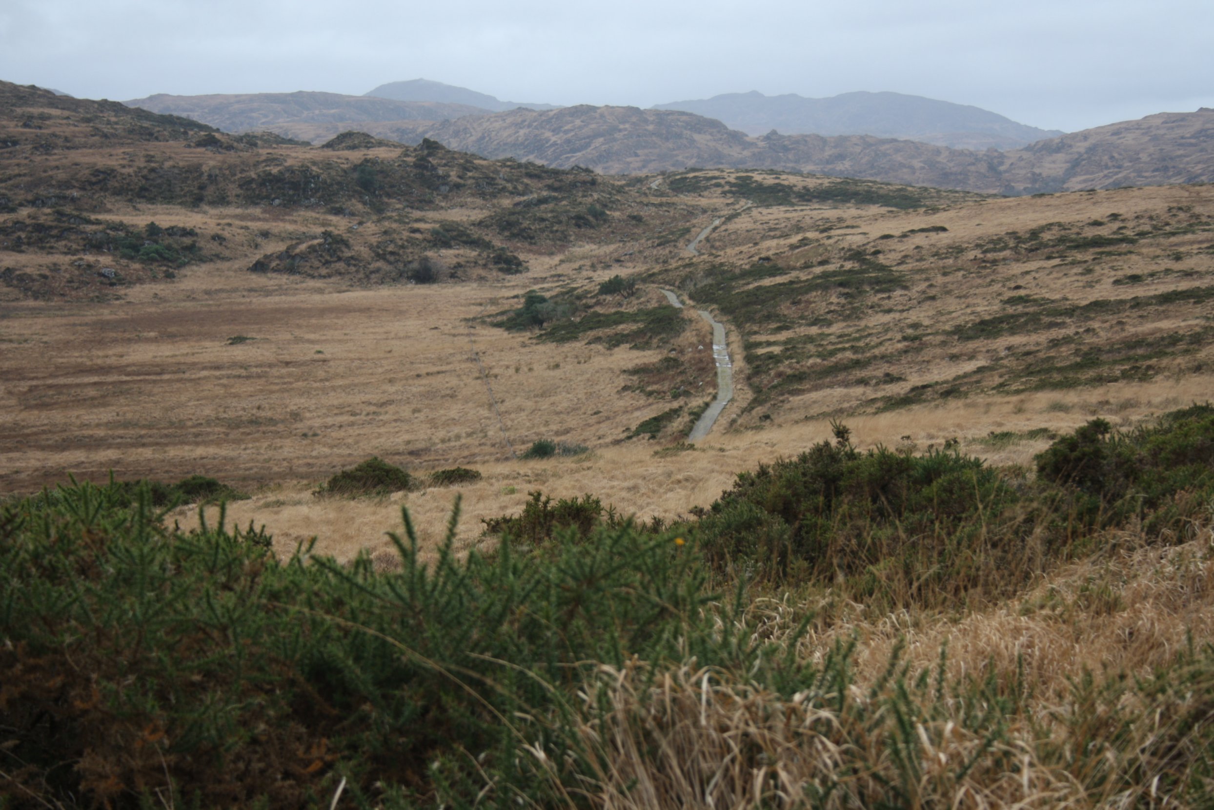
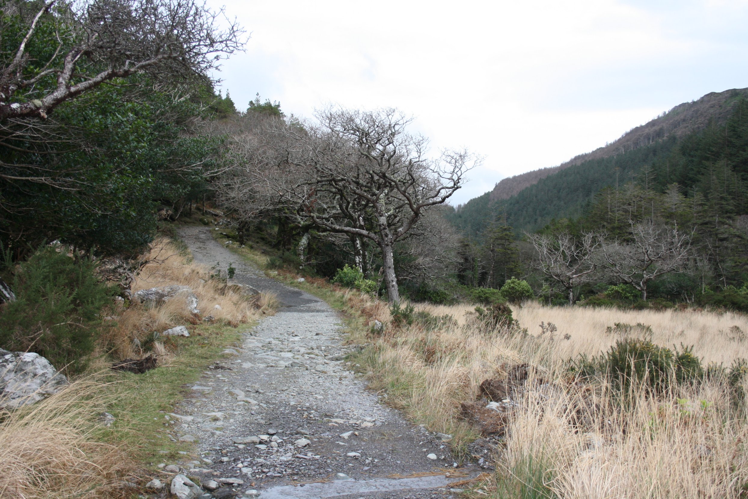
T o r c M o u n t a i n
Tuesday 18 December 2012
Photos of climbing Torc Mountain.
Torc Mountain (Irish: Sliabh Torc) is a mountain near Killarney in County Kerry, which is 535 m high.
Torc Mountain gets its name from the Irish word torc meaning boar, after an enchanted boar was killed there by the legendary hero, Fionn mac Cumhaill.
There are ways up from both the northern and the southern side of the mountain.
Today we chose the southern route despite the fact that this route does not reach the ultimate top.
Starting place is a small parking space along the N71.
Having finished this southern route we got as far as to the start of the northern path to the summon as well, but lack of time forced us to postpone this trip till next year.